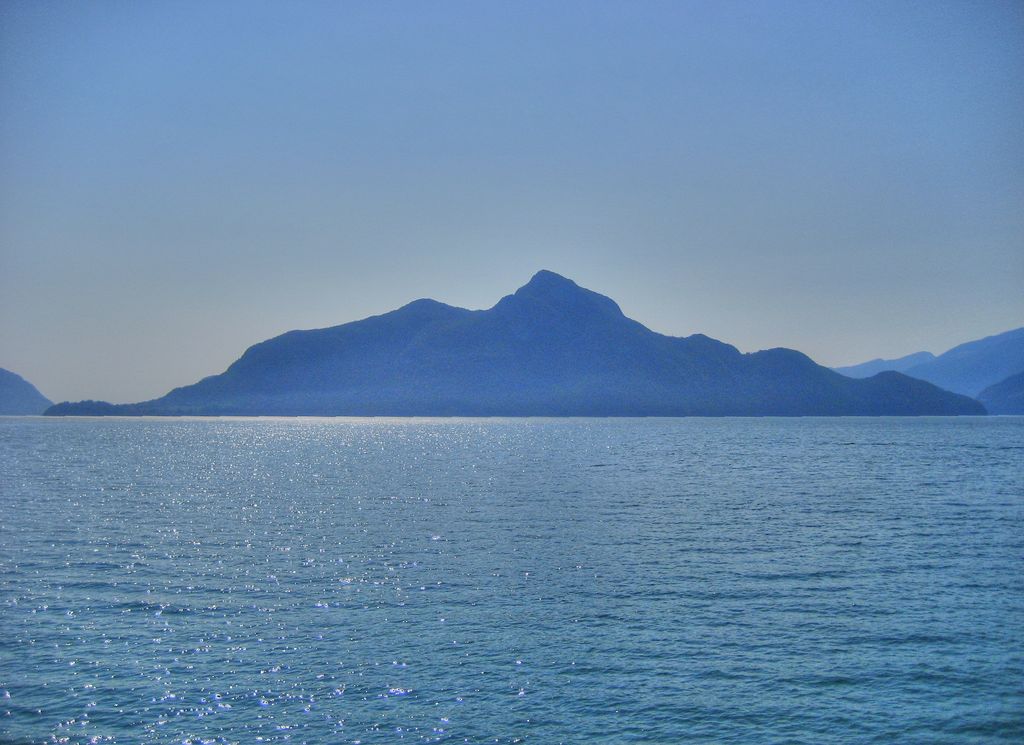
Gambier Island is an island located in Howe Sound near Vancouver, British Columbia. It is about 17,049 acres (6,899 hectares) in size and is located about 10 kilometres (6.2 miles) north of the Horseshoe Bay community and ferry terminal in westernmost West Vancouver. A rugged and sparsely populated island, it is far quieter than its neighbour Bowen Island, which is popular with day-trippers and summer vacationers. Gambier Island is accessible only by B.C. Ferries passenger service, water taxi or other boats. There is no central road network. The island elects two trustees to the Islands Trust, an organization that unites small island communities in British Columbia to oversee development and land use. Other islands in Howe Sound include Keats Island and Anvil Island. The island is part of West Howe Sound, Electoral Area F within the Sunshine Coast Regional District (SCRD) on the Sunshine Coast of British Columbia, Canada.
We use GPS information embedded into the photo when it is available.
3D mountains overlay
Adjust mountain panorama to perfectly match your photos because recorded by camera photo position might be imprecise.
Move tool
Rotate tool
Zoom
More customization
Choose which peak labels should make into the final photo and what photo title should be.
Next
Photo Location
Satellitte
Flat map
Relief map
Latitude
Longitude
Altitude
OR
Latitude
°'''
Longitude
°'''
Apply
Register Peak
Peak Name
Latitude
Longitude
Altitude
Register
Teleport
PeakVisor
This 3D model of Sagarmatha National Park in Nepal was made using the PeakVisor app topographic data. The mobile app features higher precision models worldwide, more topographic details, and works offline. Download PeakVisor maps today.
Download OBJ model
PeakVisor
The download should start shortly. If you find it useful please consider supporting the PeakVisor app.
PeakVisor for iOS and Android
Be a superhero of outdoor navigation with state-of-the-art 3D maps and mountain identification in the palm of your hand!