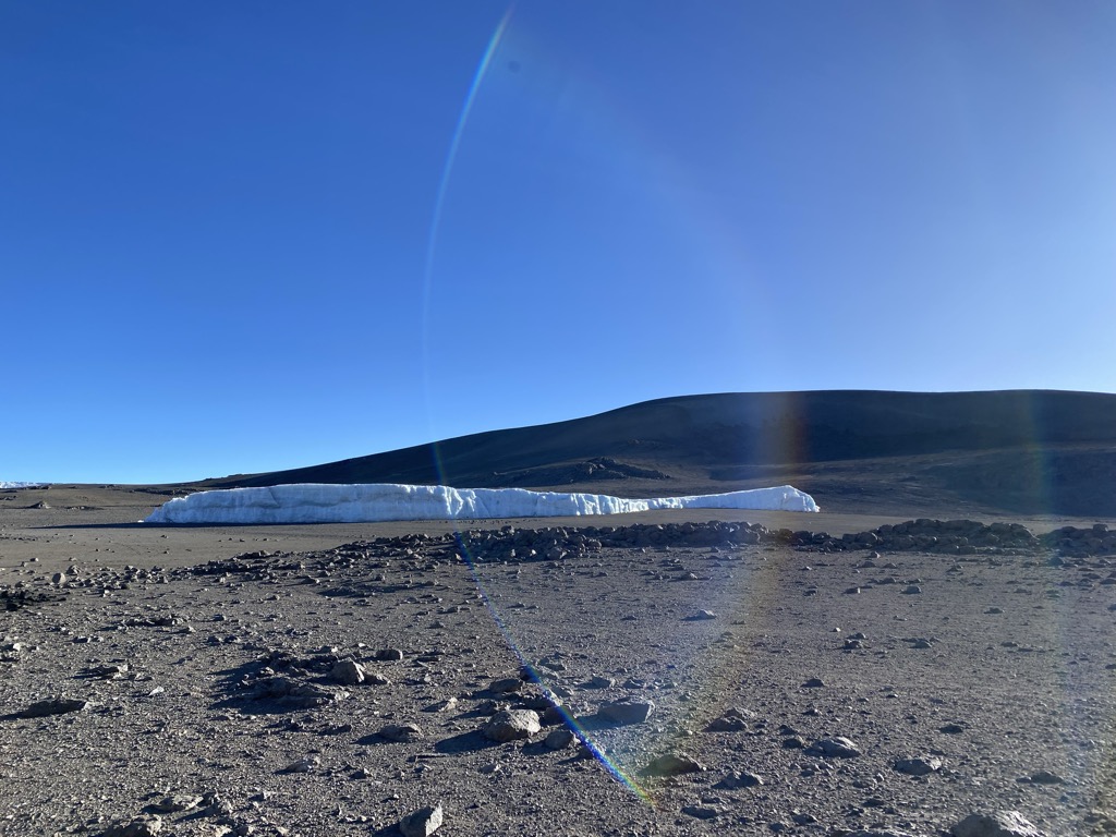
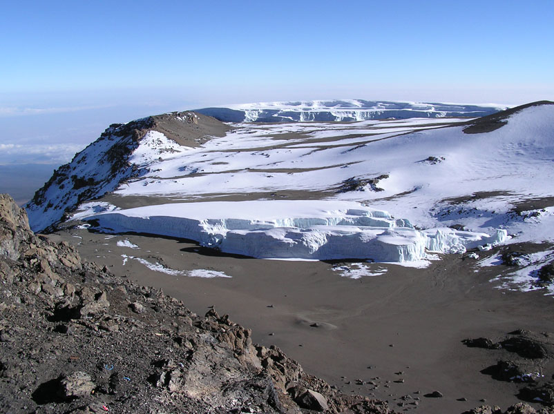
Furtwangler Glacier is located near the summit of Mount Kilimanjaro in Tanzania. The glacier is named after Walter Furtwängler who, with Siegfried König, formed the fourth party to ascend to the summit of Kilimanjaro in 1912. The glacier is a small remnant of an ice cap that once crowned the summit of Kilimanjaro. Almost 85 percent of the ice cover disappeared from October 1912 to June 2011. In 2013 it was estimated that at the then-current rate, most of the ice would disappear by 2040 and "it is highly unlikely that any ice body will remain after 2060". Furtwängler Glacier is ephemeral, existing continuously only since about 1650 CE, which corresponds with very high levels in Kenya's Lake Naivasha and the beginning of the Maunder Minimum. Between measurements in 1976 and 2000, the area of this glacier was cut almost in half, from 113,000 square metres (1,220,000 sq ft) to 60,000 m2 (650,000 sq ft). By 2018 the size had shrunk to 11,000 m2 (120,000 sq ft). In 2022 it was thought that the glacier would cease to exist by 2023 at a rate of loss of 2,524 m2 (27,170 sq ft) per year. During fieldwork conducted early in 2006, scientists discovered a large hole near the center of the glacier. This hole, extending through the 6 metres (20 feet) remaining thickness of the glacier to the underlying rock, split the glacier in two by 2007.
We use GPS information embedded into the photo when it is available.
3D mountains overlay
Adjust mountain panorama to perfectly match your photos because recorded by camera photo position might be imprecise.
Move tool
Rotate tool
Zoom
More customization
Choose which peak labels should make into the final photo and what photo title should be.
Next
Photo Location
Satellitte
Flat map
Relief map
Latitude
Longitude
Altitude
OR
Latitude
°'''
Longitude
°'''
Apply
Register Peak
Peak Name
Latitude
Longitude
Altitude
Register
Teleport
PeakVisor
This 3D model of Sagarmatha National Park in Nepal was made using the PeakVisor app topographic data. The mobile app features higher precision models worldwide, more topographic details, and works offline. Download PeakVisor maps today.
Download OBJ model
PeakVisor
The download should start shortly. If you find it useful please consider supporting the PeakVisor app.
PeakVisor for iOS and Android
Be a superhero of outdoor navigation with state-of-the-art 3D maps and mountain identification in the palm of your hand!