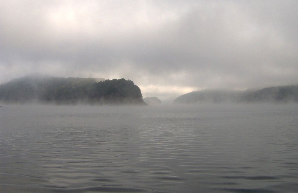
Fontana Lake is a reservoir impounded by Fontana Dam on the Little Tennessee River, and is located in Graham and Swain counties in North Carolina. The lake forms part of the southern border of Great Smoky Mountains National Park and the northern border of part of the Nantahala National Forest. Depending on water levels, the lake is about 17 miles (27 km) long. The eastern end is the Tuckasegee River near Bryson City. It has an average depth of 135 feet (41 m) and reaches a maximum depth of 440 feet (130 m), making it the deepest lake in North Carolina. The lake has many inlets into coves and many islands formed from former mountain peaks, especially near the eastern end. As with most dam-impounded lakes, the steep banks are exposed when water levels are low. Many towns were submerged shortly after the creation of Fontana Lake, such as Proctor and Judson. Fontana Lake provides the only access into the most remote areas of the National Park, unless visitors undertake a multi-day hike to get there. When the lake is at the normal summer level, a boat may be used to access remote trailheads such as Hazel Creek. From the observation tower on Clingmans Dome, on a clear day the lake can be seen nearly a mile below. While the maximum controlled elevation of the lake (top of dam gates) is 1,710 ft (520 m), the normal Summer surface elevation is 1,703 ft (519 m). NC 28 roughly parallels the southern shore of the lake, and US 19, between Bryson City and Wesser/Lauada, briefly skims an inlet at the extreme southeastern edge.
We use GPS information embedded into the photo when it is available.
3D mountains overlay
Adjust mountain panorama to perfectly match your photos because recorded by camera photo position might be imprecise.
Move tool
Rotate tool
Zoom
More customization
Choose which peak labels should make into the final photo and what photo title should be.
Next
Photo Location
Satellitte
Flat map
Relief map
Latitude
Longitude
Altitude
OR
Latitude
°'''
Longitude
°'''
Apply
Register Peak
Peak Name
Latitude
Longitude
Altitude
Register
Teleport
PeakVisor
This 3D model of Sagarmatha National Park in Nepal was made using the PeakVisor app topographic data. The mobile app features higher precision models worldwide, more topographic details, and works offline. Download PeakVisor maps today.
Download OBJ model
PeakVisor
The download should start shortly. If you find it useful please consider supporting the PeakVisor app.
PeakVisor for iOS and Android
Be a superhero of outdoor navigation with state-of-the-art 3D maps and mountain identification in the palm of your hand!