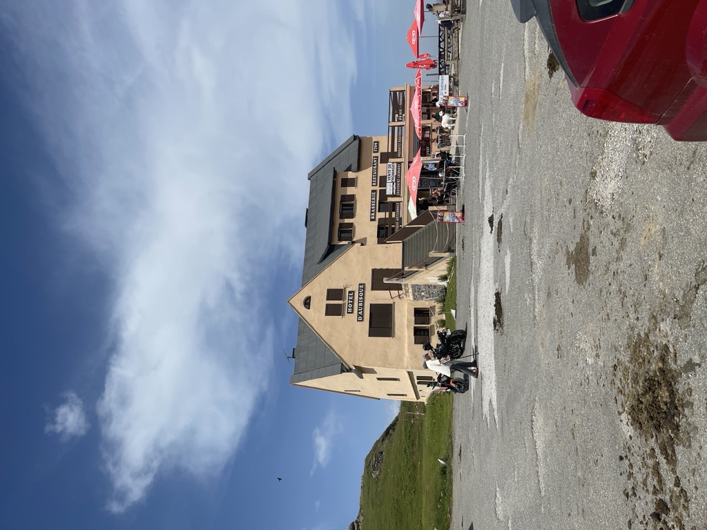
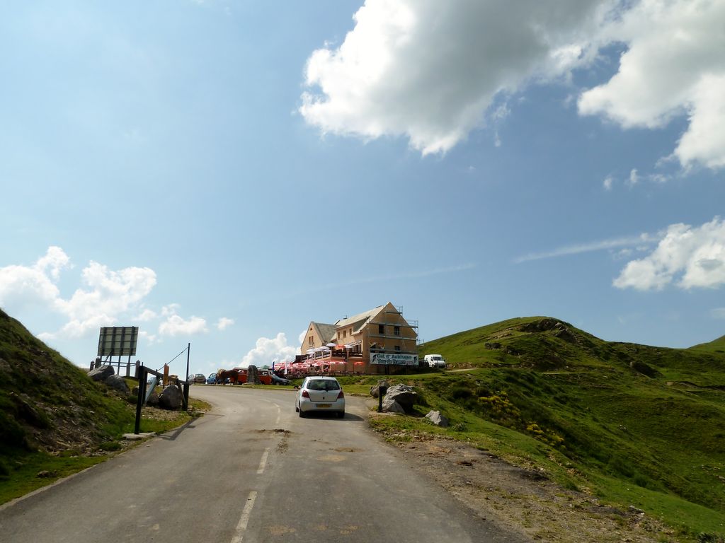
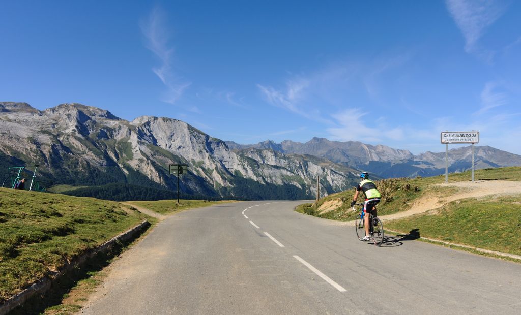
The Col d'Aubisque (Occitan: Còth d'Aubisca) (elevation 1,709 m (5,607 ft)) is a mountain pass in the Pyrenees 30 km (19 mi) south of Tarbes and Pau in the department of the Pyrénées-Atlantiques, in the Aquitaine region of France. The pass is on the northern slopes of the Pic de Ger (2,613 m (8,573 ft)) and connects Laruns, in the valley of the Gave d'Ossau, via Eaux-Bonnes (west) to Argelès-Gazost, in the valley of the Gave de Pau, via the Col du Soulor (east). The road crosses the Cirque du Litor, in the upper part of the Ouzom valley. It is generally closed from December to June. The pass is starting point of excursions and a centre for winter sports. In summer, it is popular with cyclists. It is regularly part of the Tour de France, generally rated an hors catégorie climb.
We use GPS information embedded into the photo when it is available.
3D mountains overlay
Adjust mountain panorama to perfectly match your photos because recorded by camera photo position might be imprecise.
Move tool
Rotate tool
Zoom
More customization
Choose which peak labels should make into the final photo and what photo title should be.
Next
Photo Location
Satellitte
Flat map
Relief map
Latitude
Longitude
Altitude
OR
Latitude
°'''
Longitude
°'''
Apply
Register Peak
Peak Name
Latitude
Longitude
Altitude
Register
Teleport
PeakVisor
This 3D model of Sagarmatha National Park in Nepal was made using the PeakVisor app topographic data. The mobile app features higher precision models worldwide, more topographic details, and works offline. Download PeakVisor maps today.
Download OBJ model
PeakVisor
The download should start shortly. If you find it useful please consider supporting the PeakVisor app.
PeakVisor for iOS and Android
Be a superhero of outdoor navigation with state-of-the-art 3D maps and mountain identification in the palm of your hand!