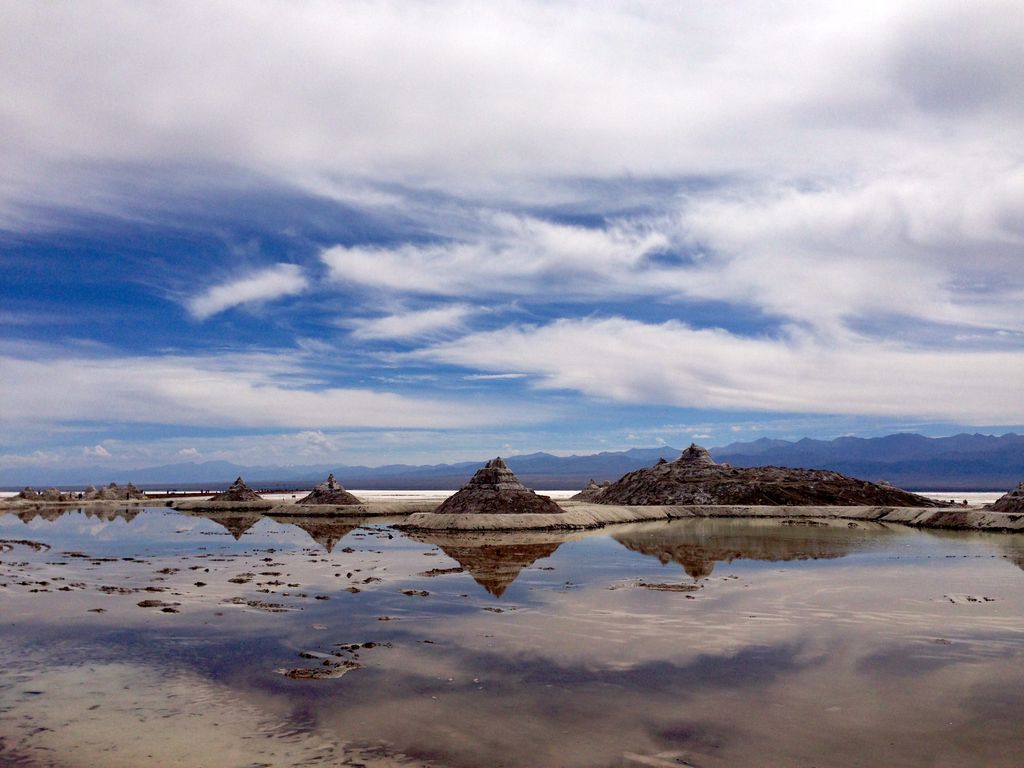
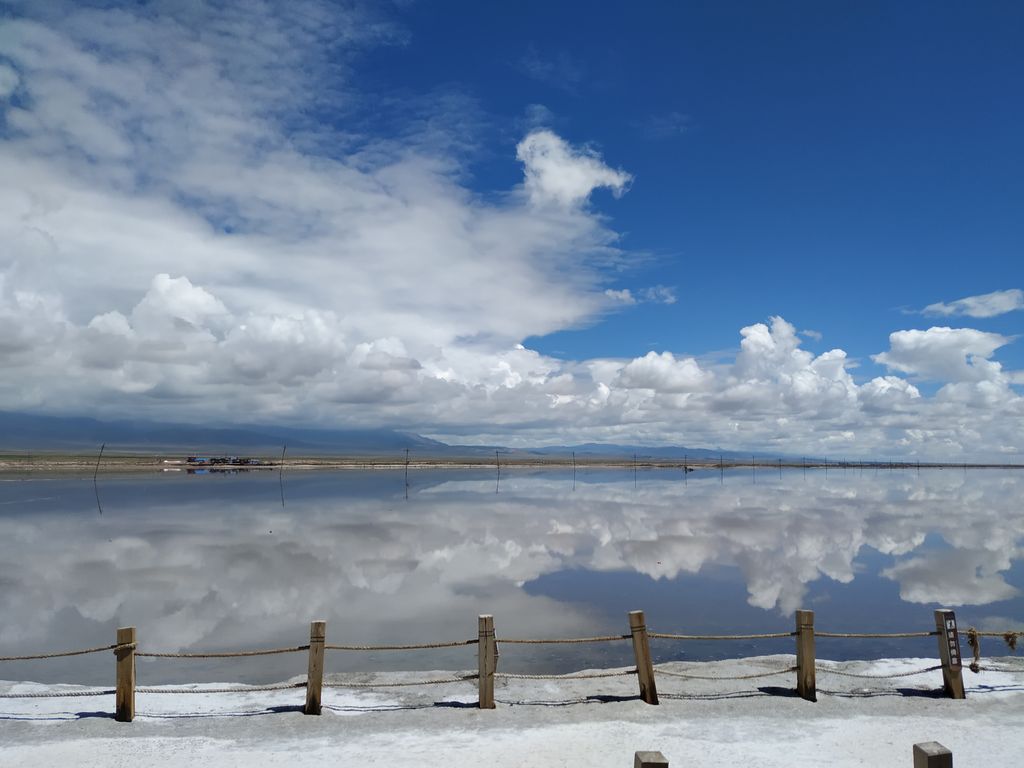
Chaka Salt Lake (Chinese: 茶卡盐湖; pinyin: Chákǎ Yánhú; Standard Tibetan: ཚྭ་ཁ་མཚོ་) is a salt lake in Ulan County, Haixi Prefecture, Qinghai, China. The oval-shaped lake is located near the eastern end of Qaidam Basin, 298 kilometres (185 mi) to the west of the provincial capital Xining. The name "Chaka" (ཚྭ་ཁ) means "salt lake" in Tibetan. Chaka Lake is a major tourist destination and a key salt mine in Qinghai. In 2018, it received more than 3 million visitors. The lake is famous for its crystal-blue water and reflective lake bed, and is popularly known as "Mirror of the Sky".
We use GPS information embedded into the photo when it is available.
3D mountains overlay
Adjust mountain panorama to perfectly match your photos because recorded by camera photo position might be imprecise.
Move tool
Rotate tool
Zoom
More customization
Choose which peak labels should make into the final photo and what photo title should be.
Next
Photo Location
Satellitte
Flat map
Relief map
Latitude
Longitude
Altitude
OR
Latitude
°'''
Longitude
°'''
Apply
Register Peak
Peak Name
Latitude
Longitude
Altitude
Register
Teleport
PeakVisor
This 3D model of Sagarmatha National Park in Nepal was made using the PeakVisor app topographic data. The mobile app features higher precision models worldwide, more topographic details, and works offline. Download PeakVisor maps today.
Download OBJ model
PeakVisor
The download should start shortly. If you find it useful please consider supporting the PeakVisor app.
PeakVisor for iOS and Android
Be a superhero of outdoor navigation with state-of-the-art 3D maps and mountain identification in the palm of your hand!