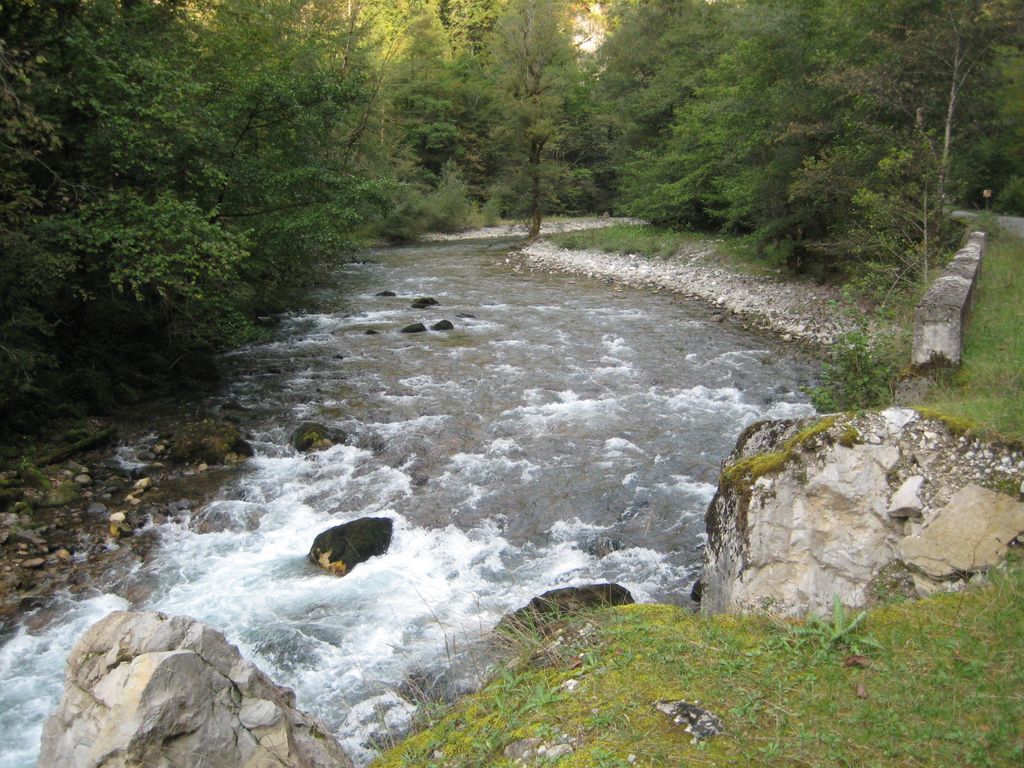
The Bzyb or Bzipi ( or ; Georgian: ბზიფი; Abkhaz: Бзыԥ, romanized: Bzyṗ) is (along with the Kodori) one of the two largest rivers of Abkhazia and the twelfth longest river in Georgia. The river valley has rich biodiversity of herbaceous garden plants, particularly in the gorge section in the upper reaches where the most prominent and colourful bellflower Campanula mirabilis with profuse growth of 100 flowers per plant is given the name, the "Queen of the Abkhazian flora". During 1904-1917 it served as the border between the Russian Empire's Sukhumi Okrug and the Black Sea Governorate.
We use GPS information embedded into the photo when it is available.
3D mountains overlay
Adjust mountain panorama to perfectly match your photos because recorded by camera photo position might be imprecise.
Move tool
Rotate tool
Zoom
More customization
Choose which peak labels should make into the final photo and what photo title should be.
Next
Photo Location
Satellitte
Flat map
Relief map
Latitude
Longitude
Altitude
OR
Latitude
°'''
Longitude
°'''
Apply
Register Peak
Peak Name
Latitude
Longitude
Altitude
Register
Teleport
PeakVisor
This 3D model of Sagarmatha National Park in Nepal was made using the PeakVisor app topographic data. The mobile app features higher precision models worldwide, more topographic details, and works offline. Download PeakVisor maps today.
Download OBJ model
PeakVisor
The download should start shortly. If you find it useful please consider supporting the PeakVisor app.
PeakVisor for iOS and Android
Be a superhero of outdoor navigation with state-of-the-art 3D maps and mountain identification in the palm of your hand!