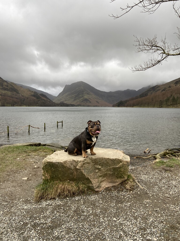
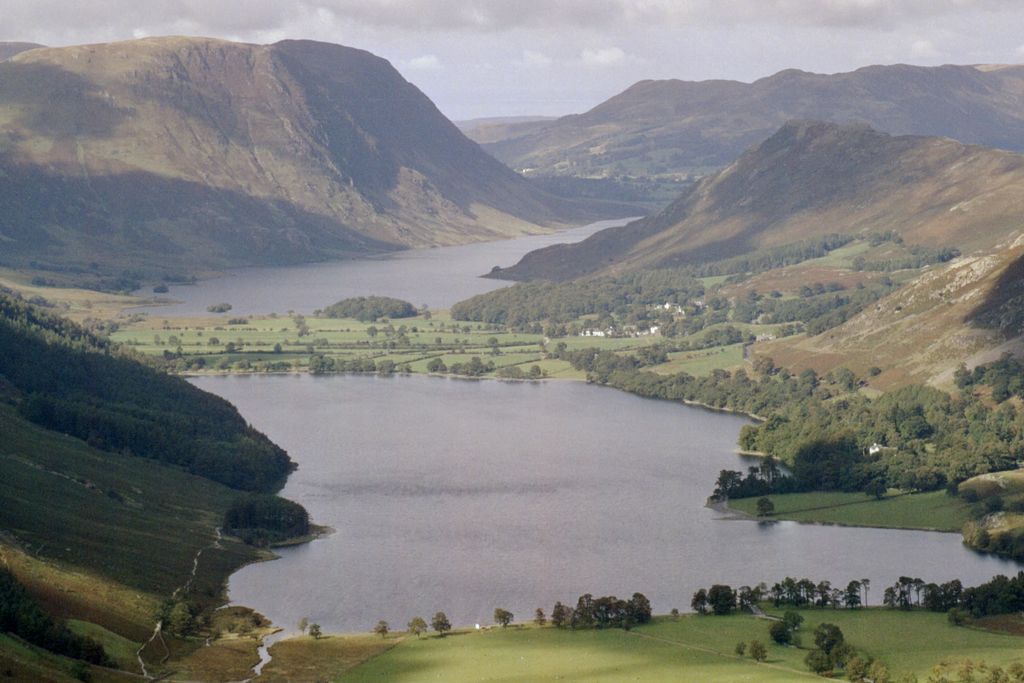
Buttermere is a lake in the Lake District in North West England. It has a length of approximately 2 kilometres (1.2 mi) and a maximum width of 0.54 kilometres (0.34 mi), an area of 0.9 square kilometres (0.35 sq mi), a maximum depth of 28.6 metres (94 ft), and a surface elevation of 100.3 metres (329 ft) above sea level. Its primary outflow is Buttermere Dubs, a short stream which connects the lake to Crummock Water. From Crummock Water the River Cocker flows to Cockermouth, where it joins the River Derwent and finally enters the Irish Sea at Workington. The lake is in the unitary authority of Cumberland, and the ceremonial county of Cumbria.
We use GPS information embedded into the photo when it is available.
3D mountains overlay
Adjust mountain panorama to perfectly match your photos because recorded by camera photo position might be imprecise.
Move tool
Rotate tool
Zoom
More customization
Choose which peak labels should make into the final photo and what photo title should be.
Next
Photo Location
Satellitte
Flat map
Relief map
Latitude
Longitude
Altitude
OR
Latitude
°'''
Longitude
°'''
Apply
Register Peak
Peak Name
Latitude
Longitude
Altitude
Register
Teleport
PeakVisor
This 3D model of Sagarmatha National Park in Nepal was made using the PeakVisor app topographic data. The mobile app features higher precision models worldwide, more topographic details, and works offline. Download PeakVisor maps today.
Download OBJ model
PeakVisor
The download should start shortly. If you find it useful please consider supporting the PeakVisor app.
PeakVisor for iOS and Android
Be a superhero of outdoor navigation with state-of-the-art 3D maps and mountain identification in the palm of your hand!