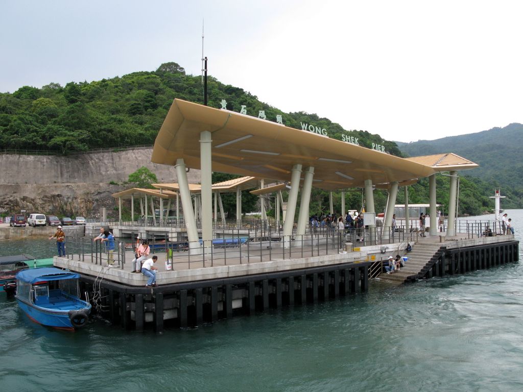
Wong Shek (Chinese: 黃石), or Wong Ma Tei (Chinese: 黃麻地), is an area in the northern part of the Sai Kung Peninsula in Hong Kong. It is under the administration of Tai Po District. In the area, there are picnic facilities with views of the sea. However, to protect the natural environment of Wong Shek, the Government controls the number of vehicle entering the area; a gate is set up at Pak Tam Chung on the way towards Wong Shek, which only allows permitted vehicles to enter. There is also a public pier called "Wong Shek Pier".
"Wong shek" means "yellow rock" in Cantonese.
By elevation Wong Ma Tei is
# 34 out of 35 in Sai Kung East Country Park # 94 out of 101 in Tai Po District
By prominence Wong Ma Tei is
# 23 out of 35 in Sai Kung East Country Park # 42 out of 101 in Tai Po District
We use GPS information embedded into the photo when it is available.
3D mountains overlay
Adjust mountain panorama to perfectly match your photos because recorded by camera photo position might be imprecise.
Move tool
Rotate tool
Zoom
More customization
Choose which peak labels should make into the final photo and what photo title should be.
Next
Photo Location
Satellitte
Flat map
Relief map
Latitude
Longitude
Altitude
OR
Latitude
°'''
Longitude
°'''
Apply
Register Peak
Peak Name
Latitude
Longitude
Altitude
Register
Teleport
PeakVisor
This 3D model of Sagarmatha National Park in Nepal was made using the PeakVisor app topographic data. The mobile app features higher precision models worldwide, more topographic details, and works offline. Download PeakVisor maps today.
Download OBJ model
PeakVisor
The download should start shortly. If you find it useful please consider supporting the PeakVisor app.
PeakVisor for iOS and Android
Be a superhero of outdoor navigation with state-of-the-art 3D maps and mountain identification in the palm of your hand!