Warton Crag is a limestone hill in north west Lancashire, England. It lies to the north west of Warton village, in City of Lancaster district. At 163 metres (535 ft) it is the highest point in the Arnside and Silverdale Area of Outstanding Natural Beauty, and is listed as a "HuMP" or "Hundred Metre Prominence", having a "drop" or "prominence" of 126 metres (413 ft) with its parent being Hutton Roof Crags. Two areas are Local Nature Reserves, called Warton Crag and Warton Crag Quarry. Different sections are owned by Lancashire County Council, the Wildlife Trust for Lancashire, Manchester and North Merseyside, Lancaster City Council and the Royal Society for the Protection of Birds.
Two caves on the west side of the hill called Dog Holes and Badger Hole show signs of early human occupation, with excavations finding a range of artefacts.
The summit of the hill is the site of a small multivallate hillfort, which has long been assumed to date to the Iron Age period. The approximately 3.2-hectare (7.9-acre) enclosure was defended by rock scarps and steep slopes to the south and west with triple stone ramparts forming an arc on the other sides. However research by Historic England in 2016 using lidar proposed that the structure was instead "some form of non-defensive hilltop enclosure, possibly dating to the Late Bronze Age."
A beacon was erected on the crag in 1988 as part of a re-enactment of the beacon chain alerting the country to the Spanish Armada, on its 400th anniversary. It was lit again in 2012 for the Diamond Jubilee of Elizabeth II, in 2016 for her 90th birthday, and in 2022 for her Platinum Jubilee.
Many plants are found on the crag, including horseshoe vetch near its northern limit, spindle tree and many ferns. The site is rich in butterflies, including the rare pearl bordered fritillary and high brown fritillary. Much of the hill is listed as a Site of Special Scientific Interest, being considered the best example of limestone grassland in Lancashire, with areas of Limestone pavement.
The former quarry on the west of the crag is a regular breeding site for peregrine falcons and is protected by a Falcon Watch team of volunteers.
The crag is used by rock-climbers, and a fell race on the crag takes place annually as part of Warton Children's Sports Day.
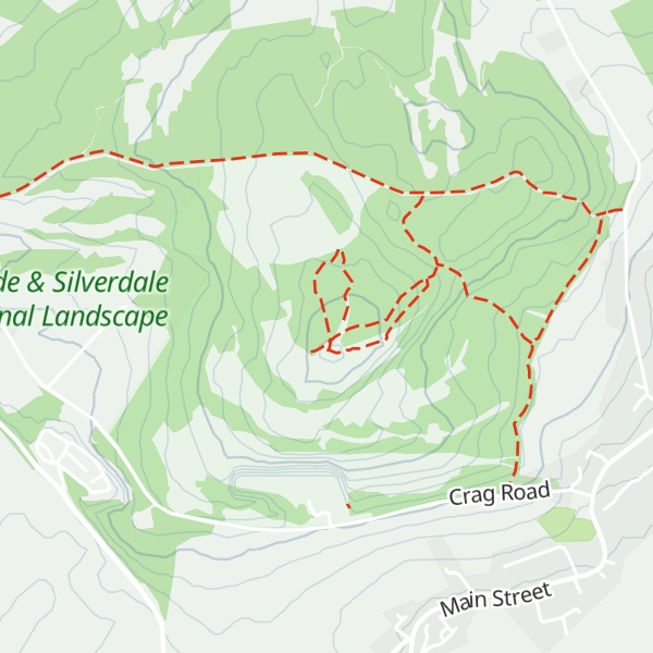
There's a trail called Occupation Road to Beacon leading to the summit.
By elevation Warton Crag is
# 1 out of 2 in Warton Crag # 1 out of 16 in Arnside & Silverdale AONB
By prominence Warton Crag is
# 1 out of 2 in Warton Crag # 13 out of 412 in Lancashire # 2 out of 16 in Arnside & Silverdale AONB
We use GPS information embedded into the photo when it is available.
3D mountains overlay
Adjust mountain panorama to perfectly match your photos because recorded by camera photo position might be imprecise.
Move tool
Rotate tool
Zoom
More customization
Choose which peak labels should make into the final photo and what photo title should be.
Next
Photo Location
Satellitte
Flat map
Relief map
Latitude
Longitude
Altitude
OR
Latitude
°'''
Longitude
°'''
Apply
Register Peak
Peak Name
Latitude
Longitude
Altitude
Register
Teleport
PeakVisor
This 3D model of Sagarmatha National Park in Nepal was made using the PeakVisor app topographic data. The mobile app features higher precision models worldwide, more topographic details, and works offline. Download PeakVisor maps today.
Download OBJ model
PeakVisor
The download should start shortly. If you find it useful please consider supporting the PeakVisor app.
PeakVisor for iOS and Android
Be a superhero of outdoor navigation with state-of-the-art 3D maps and mountain identification in the palm of your hand!