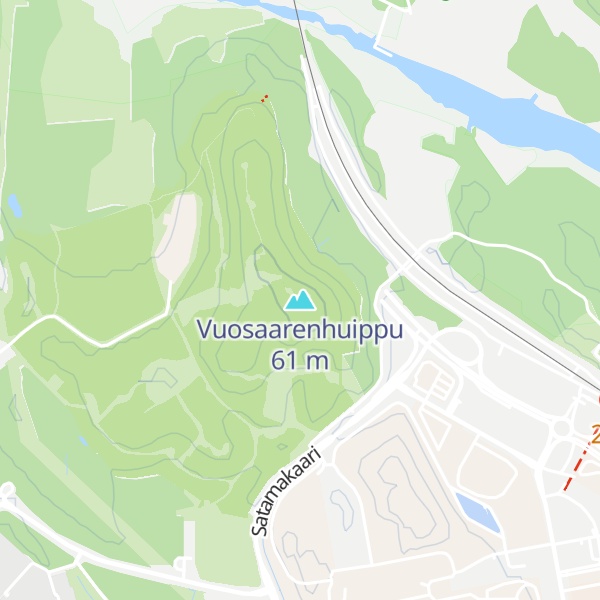
Vuosaarenhuippu is a recreational area in the northern part of Vuosaari in eastern Helsinki. Earlier it was the Vuosaari dumping ground and a place where land masses from construction sites were deposited. Through ecological restoration the area has been turned into a natural-like environment, the scale of which is unprecedented in the history of Helsinki. A large number of both flora and fauna inhabit the area. There are paths connecting the area to the nearby Mustavuori protected area.
There's a trail leading to the summit.
By prominence Vuosaarenhuippu is
# 3 out of 238 in Uusimaa # 29 out of 1284 in Southern Finland
We use GPS information embedded into the photo when it is available.
3D mountains overlay
Adjust mountain panorama to perfectly match your photos because recorded by camera photo position might be imprecise.
Move tool
Rotate tool
Zoom
More customization
Choose which peak labels should make into the final photo and what photo title should be.
Next
Photo Location
Satellitte
Flat map
Relief map
Latitude
Longitude
Altitude
OR
Latitude
°'''
Longitude
°'''
Apply
Register Peak
Peak Name
Latitude
Longitude
Altitude
Register
Teleport
PeakVisor
This 3D model of Sagarmatha National Park in Nepal was made using the PeakVisor app topographic data. The mobile app features higher precision models worldwide, more topographic details, and works offline. Download PeakVisor maps today.
Download OBJ model
PeakVisor
The download should start shortly. If you find it useful please consider supporting the PeakVisor app.
PeakVisor for iOS and Android
Be a superhero of outdoor navigation with state-of-the-art 3D maps and mountain identification in the palm of your hand!