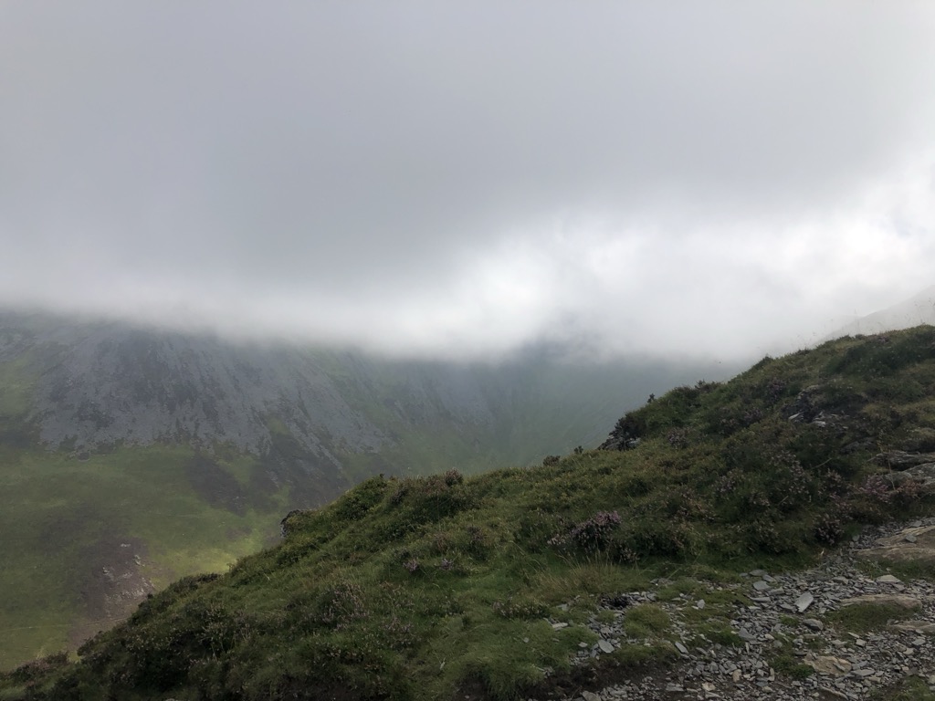
Ullock Pike is a fell situated in northern part of the English Lake District. It is located seven kilometres north west of Keswick and achieves a height of 691 metres (2,267 ft). The fell sits on Skiddaw’s south western ridge along with two other fells (Long Side and Carl Side), this ridge is regarded as the finest way to ascend Skiddaw, with Alfred Wainwright commenting:
‘There is no doubt in my mind that by far the best approach to the top of Skiddaw is by way of its north-west ridge. This offers a fine expedition along a narrow crest in exciting surroundings and provides excellent views throughout … for the collector of summits here are three waiting to be picked off in addition to Skiddaw’.
There's a hiking trail (T1) called Longside Edge leading to the summit.
We use GPS information embedded into the photo when it is available.
3D mountains overlay
Adjust mountain panorama to perfectly match your photos because recorded by camera photo position might be imprecise.
Move tool
Rotate tool
Zoom
More customization
Choose which peak labels should make into the final photo and what photo title should be.
Next
Photo Location
Satellitte
Flat map
Relief map
Latitude
Longitude
Altitude
OR
Latitude
°'''
Longitude
°'''
Apply
Register Peak
Peak Name
Latitude
Longitude
Altitude
Register
Teleport
PeakVisor
This 3D model of Sagarmatha National Park in Nepal was made using the PeakVisor app topographic data. The mobile app features higher precision models worldwide, more topographic details, and works offline. Download PeakVisor maps today.
Download OBJ model
PeakVisor
The download should start shortly. If you find it useful please consider supporting the PeakVisor app.
PeakVisor for iOS and Android
Be a superhero of outdoor navigation with state-of-the-art 3D maps and mountain identification in the palm of your hand!