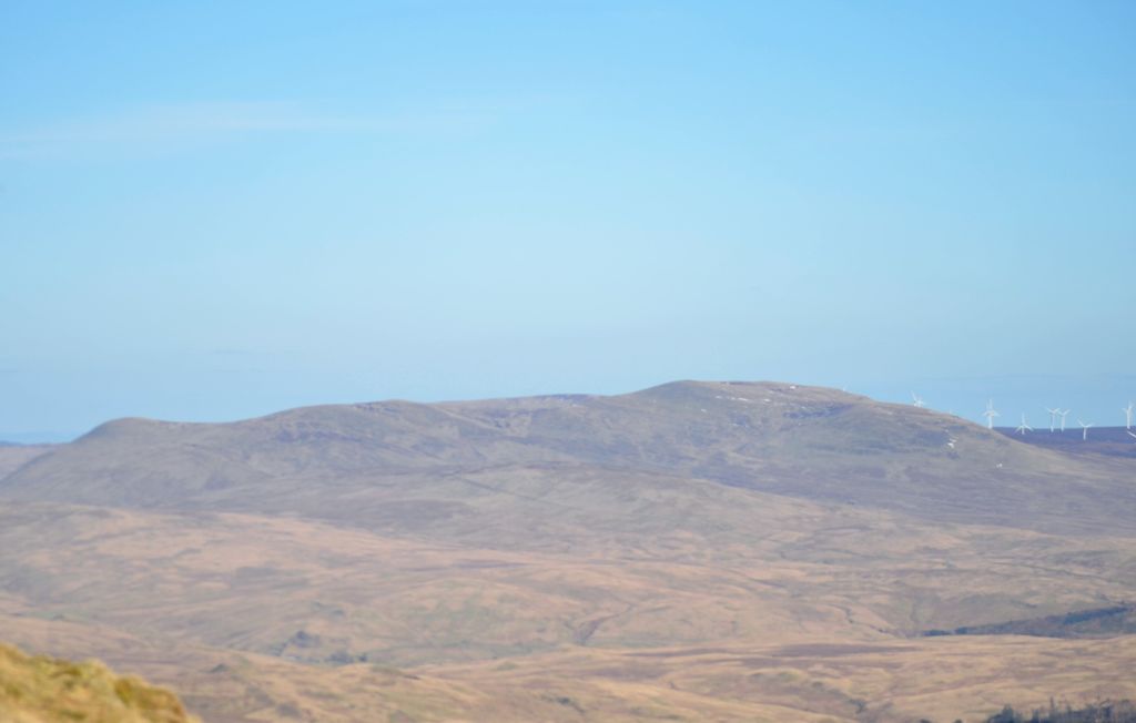
Uamh Bheag is a hill in the Glen Artney Hills range immediately south of the Highland Boundary Fault, part of the Central Lowlands of Scotland. The highest hill of the range, the summit is twin-topped; the lower east top has a trig point. Until 2017, it was not certain which hill was higher, and subsequently which was the Donald and Graham. That year, a survey was conducted which proved the west top to be approximately 2.4m higher. The true summit is currently marked with a cairn and a face carved out of a wooden fencepost, extending from it. It is normally ascended with neighbouring Beinn nan Eun from Glen Artney itself.
By prominence Uamh Bheag is
# 20 out of 407 in Stirling # 29 out of 1062 in Perth and Kinross
We use GPS information embedded into the photo when it is available.
3D mountains overlay
Adjust mountain panorama to perfectly match your photos because recorded by camera photo position might be imprecise.
Move tool
Rotate tool
Zoom
More customization
Choose which peak labels should make into the final photo and what photo title should be.
Next
Photo Location
Satellitte
Flat map
Relief map
Latitude
Longitude
Altitude
OR
Latitude
°'''
Longitude
°'''
Apply
Register Peak
Peak Name
Latitude
Longitude
Altitude
Register
Teleport
PeakVisor
This 3D model of Sagarmatha National Park in Nepal was made using the PeakVisor app topographic data. The mobile app features higher precision models worldwide, more topographic details, and works offline. Download PeakVisor maps today.
Download OBJ model
PeakVisor
The download should start shortly. If you find it useful please consider supporting the PeakVisor app.
PeakVisor for iOS and Android
Be a superhero of outdoor navigation with state-of-the-art 3D maps and mountain identification in the palm of your hand!