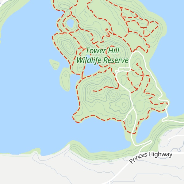
Tower Hill is an inactive volcano on the south-west coast of Victoria, Australia, approximately 275 kilometres (171 mi) west of Melbourne, and 15 kilometres (9 mi) north-west of Warrnambool. The Tower Hill crater is roughly 3 kilometres (2 mi) wide and 80 metres (260 ft) high, with a gradient of between 10% and 80% at the higher points. Within the crater, a series of later volcanic explosions formed a number of scoria cones and spheres, surrounded by a crater lake. Being a giant nested maar, Tower Hill is of international geological significance. The Dhauwurdwurrung name for the volcano is Koroitj.
There's a trail leading to the summit.
By elevation Tower Hill is
# 14 out of 19 in Shire of Moyne # 1 out of 1 in Tower Hill Wildlife Reserve (hunting)
By prominence Tower Hill is
# 4 out of 19 in Shire of Moyne # 1 out of 1 in Tower Hill Wildlife Reserve (hunting)
We use GPS information embedded into the photo when it is available.
3D mountains overlay
Adjust mountain panorama to perfectly match your photos because recorded by camera photo position might be imprecise.
Move tool
Rotate tool
Zoom
More customization
Choose which peak labels should make into the final photo and what photo title should be.
Next
Photo Location
Satellitte
Flat map
Relief map
Latitude
Longitude
Altitude
OR
Latitude
°'''
Longitude
°'''
Apply
Register Peak
Peak Name
Latitude
Longitude
Altitude
Register
Teleport
PeakVisor
This 3D model of Sagarmatha National Park in Nepal was made using the PeakVisor app topographic data. The mobile app features higher precision models worldwide, more topographic details, and works offline. Download PeakVisor maps today.
Download OBJ model
PeakVisor
The download should start shortly. If you find it useful please consider supporting the PeakVisor app.
PeakVisor for iOS and Android
Be a superhero of outdoor navigation with state-of-the-art 3D maps and mountain identification in the palm of your hand!