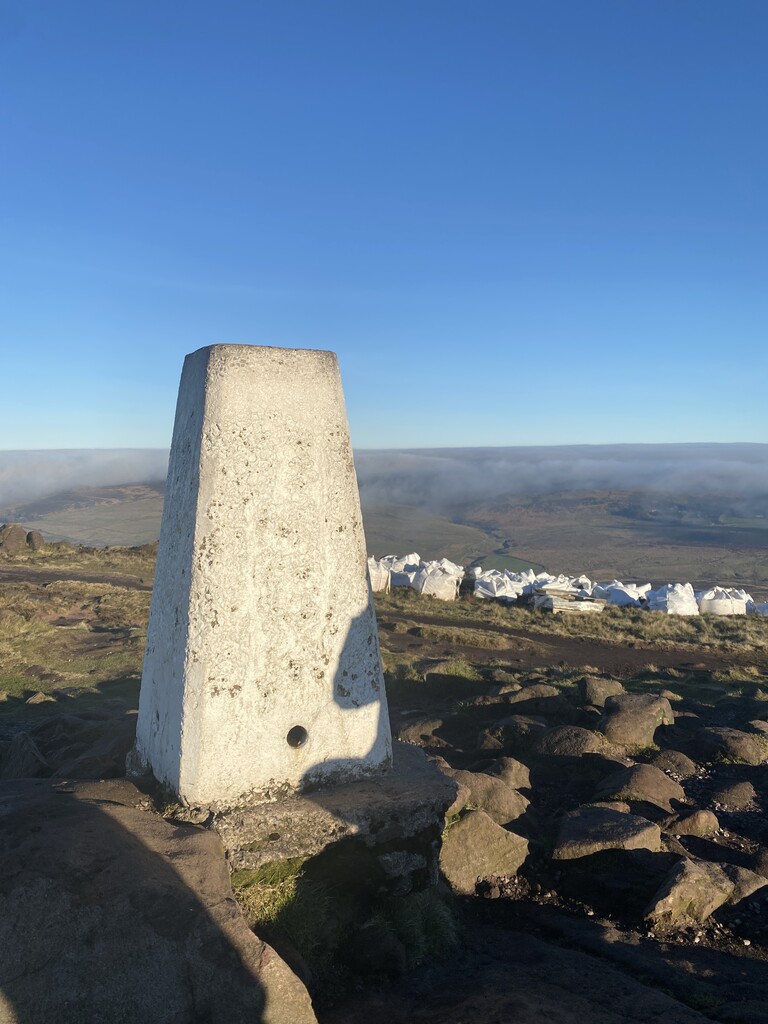
The Roaches (from the French les roches – the rocks) is a prominent rocky ridge above Leek and Tittesworth Reservoir in the Staffordshire Peak District of England. The ridge with its rock formations rises steeply to 505 m (1,657 ft).
Along with Ramshaw Rocks and Hen Cloud, from Old English Henge Clud, meaning "steep rock", they form a gritstone escarpment, which is popular with hikers, rock climbers and freerunners. It is often very busy especially at weekends.
The Roaches Estate was purchased by the Peak District National Park Authority in the 1980s to safeguard the area from adverse development. From May 2013 Staffordshire Wildlife Trust took on the management of the Roaches Estate.
In clear conditions, it is possible to see much of Cheshire and views stretching as far as Snowdon in Wales and Winter Hill in Lancashire.
The Roaches are the most prominent part of a curving ridge which extends for several miles from Hen Cloud in the south to Back Forest and Hangingstone in the northwest. At the top there is a small pool called Doxey Pool that is, according to legend, inhabited by a water spirit. Nearby are the broad hills of Gun and Morridge.
There's a trail leading to the summit.
The nearest mountain hut is Don Whillans Memorial Hut located 1 780m/5 839ft SSE of the summit.
By elevation The Roaches is
# 5 out of 227 in Staffordshire # 75 out of 342 in Peak District National Park
By prominence The Roaches is
# 8 out of 227 in Staffordshire # 10 out of 342 in Peak District National Park
We use GPS information embedded into the photo when it is available.
3D mountains overlay
Adjust mountain panorama to perfectly match your photos because recorded by camera photo position might be imprecise.
Move tool
Rotate tool
Zoom
More customization
Choose which peak labels should make into the final photo and what photo title should be.
Next
Photo Location
Satellitte
Flat map
Relief map
Latitude
Longitude
Altitude
OR
Latitude
°'''
Longitude
°'''
Apply
Register Peak
Peak Name
Latitude
Longitude
Altitude
Register
Teleport
PeakVisor
This 3D model of Sagarmatha National Park in Nepal was made using the PeakVisor app topographic data. The mobile app features higher precision models worldwide, more topographic details, and works offline. Download PeakVisor maps today.
Download OBJ model
PeakVisor
The download should start shortly. If you find it useful please consider supporting the PeakVisor app.
PeakVisor for iOS and Android
Be a superhero of outdoor navigation with state-of-the-art 3D maps and mountain identification in the palm of your hand!