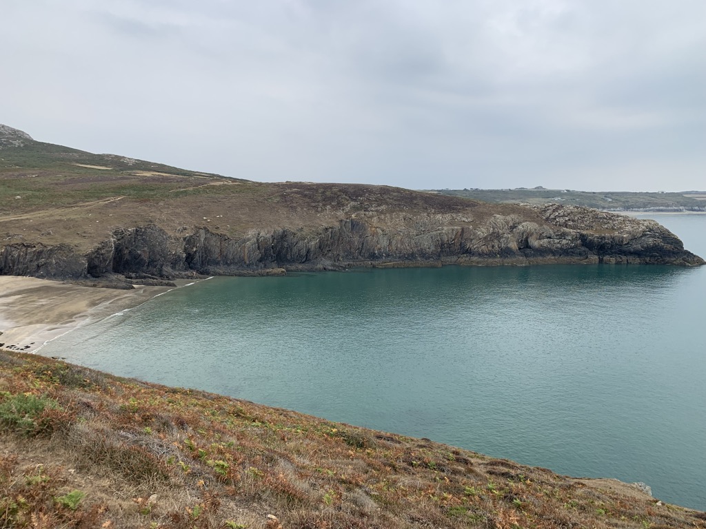
St David's Head (Welsh: Penmaen Dewi) is a headland in the Pembrokeshire Coast National Park, southwest Wales, which marks the divide between the Irish Sea and the Celtic Sea. It is noted for its wildflowers and wildlife, and for the remains of ancient human settlement. The headland and its immediate hinterland are owned by the National Trust, and are accessible to the public by foot via the Pembrokeshire Coast Path.
The westernmost point of mainland Wales, Pen Dal-aderyn, is located just to the south of St David's Head.
There's a trail leading to the summit.
By elevation St David's Head is
# 73 out of 75 in Pembrokeshire Coast National Park
By prominence St David's Head is
# 59 out of 75 in Pembrokeshire Coast National Park
We use GPS information embedded into the photo when it is available.
3D mountains overlay
Adjust mountain panorama to perfectly match your photos because recorded by camera photo position might be imprecise.
Move tool
Rotate tool
Zoom
More customization
Choose which peak labels should make into the final photo and what photo title should be.
Next
Photo Location
Satellitte
Flat map
Relief map
Latitude
Longitude
Altitude
OR
Latitude
°'''
Longitude
°'''
Apply
Register Peak
Peak Name
Latitude
Longitude
Altitude
Register
Teleport
PeakVisor
This 3D model of Sagarmatha National Park in Nepal was made using the PeakVisor app topographic data. The mobile app features higher precision models worldwide, more topographic details, and works offline. Download PeakVisor maps today.
Download OBJ model
PeakVisor
The download should start shortly. If you find it useful please consider supporting the PeakVisor app.
PeakVisor for iOS and Android
Be a superhero of outdoor navigation with state-of-the-art 3D maps and mountain identification in the palm of your hand!