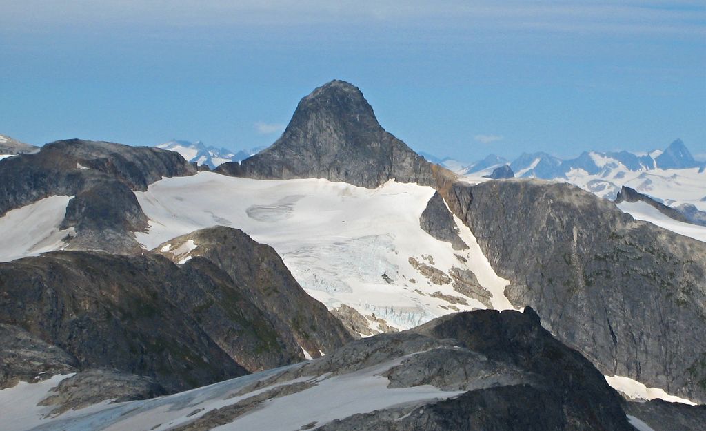
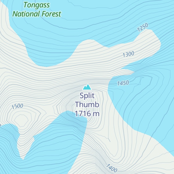
Split Thumb is a 5,523 ft (1,680 m) glaciated mountain summit located in the Boundary Ranges of the Coast Mountains, in the U.S. state of Alaska. The peak is situated near the southern periphery of the Juneau Icefield, 9 mi (14 km) northeast of Juneau, 2.15 mi (3 km) southeast of Nugget Mountain, and 4 mi (6 km) east of Heintzleman Ridge, on land managed by Tongass National Forest. Split Thumb is surrounded by the Lemon Creek Glacier to the west, and Norris Glacier to east. The Split Thumb Icefall is set on the east aspect of the peak. This peak's descriptive name was published in 1951 by the U.S. Geological Survey. The first ascent of Split Thumb was made July 2, 1954, by a Juneau Icefield Research Project party comprising Edward LaChapelle, Dick Hubley, Carlton Ray, Dr. Conrad Buettner, and Bob Goodwin.
We use GPS information embedded into the photo when it is available.
3D mountains overlay
Adjust mountain panorama to perfectly match your photos because recorded by camera photo position might be imprecise.
Move tool
Rotate tool
Zoom
More customization
Choose which peak labels should make into the final photo and what photo title should be.
Next
Photo Location
Satellitte
Flat map
Relief map
Latitude
Longitude
Altitude
OR
Latitude
°'''
Longitude
°'''
Apply
Register Peak
Peak Name
Latitude
Longitude
Altitude
Register
Teleport
PeakVisor
This 3D model of Sagarmatha National Park in Nepal was made using the PeakVisor app topographic data. The mobile app features higher precision models worldwide, more topographic details, and works offline. Download PeakVisor maps today.
Download OBJ model
PeakVisor
The download should start shortly. If you find it useful please consider supporting the PeakVisor app.
PeakVisor for iOS and Android
Be a superhero of outdoor navigation with state-of-the-art 3D maps and mountain identification in the palm of your hand!