Slieve Muck ( SLEEV MUK; from Irish Sliabh Muc, meaning 'pig mountain') is one of the Mourne Mountains in County Down, Northern Ireland. It has a height of 670.4 metres (2,199 ft). The River Bann has its source on the northern slope.
Slieve Muck has three summits which are composed of Silurian shale covering the underlying granite. The shale forms an escarpment near the eastern side of the summits. The western slope is grassy and has a number of small streams flowing into the Deer's Meadow below. The eastern slope below the escarpment is made up of stony scree with lighter coloured areas appearing to spell out POV when seen from a distance, local people have used their imagination to complete the word Poverty, which has led to the mountain also being referred to as Poverty Mountain.
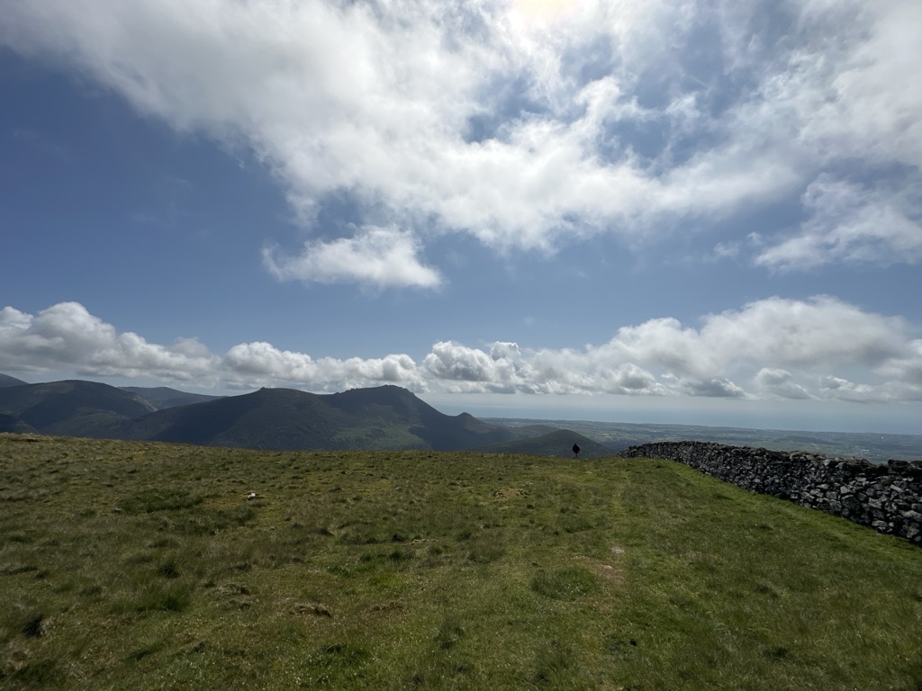
There's a trail leading to the summit.
By elevation Slieve Muck is
# 16 out of 82 in Mourne & Slieve Croob AONB # 19 out of 343 in Northern Ireland
By prominence Slieve Muck is
# 17 out of 82 in Mourne & Slieve Croob AONB # 71 out of 343 in Northern Ireland
We use GPS information embedded into the photo when it is available.
3D mountains overlay
Adjust mountain panorama to perfectly match your photos because recorded by camera photo position might be imprecise.
Move tool
Rotate tool
Zoom
More customization
Choose which peak labels should make into the final photo and what photo title should be.
Next
Photo Location
Satellitte
Flat map
Relief map
Latitude
Longitude
Altitude
OR
Latitude
°'''
Longitude
°'''
Apply
Register Peak
Peak Name
Latitude
Longitude
Altitude
Register
Teleport
PeakVisor
This 3D model of Sagarmatha National Park in Nepal was made using the PeakVisor app topographic data. The mobile app features higher precision models worldwide, more topographic details, and works offline. Download PeakVisor maps today.
Download OBJ model
PeakVisor
The download should start shortly. If you find it useful please consider supporting the PeakVisor app.
PeakVisor for iOS and Android
Be a superhero of outdoor navigation with state-of-the-art 3D maps and mountain identification in the palm of your hand!