Available for connected Garmin and Suunto accounts.
Scan the QR code and open PeakVisor on your phone
Sgùrr na Càrnach map
Sgùrr na Càrnach
M
Add photo
1 002 m
Elevation
Elevation is the altitude of a place above sea level.
136 m
Prominence
Peak’s prominence is the least vertical to be covered to get from the summit to any other higher terrain.
Proportional Prominence671 m
Munro
Mountains in Scotland with a height of over 914 m / 3 000 ft bear a special name, the Munros. They are named after Sir Hugh Munro, the 4th Baronet (1856–1919), who produced the first list of such hills, known as Munro’s Tables, in 1891.
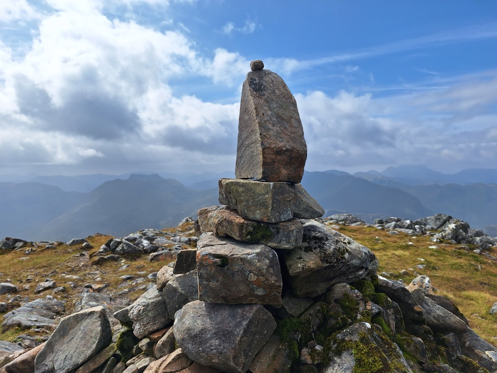
Sgùrr na Càrnach is a mountain in the Northwest Highlands of Scotland, one of the 'Five Sisters of Kintail'. It is on the northern side of Glen Shiel, 24 kilometres southeast of Kyle of Lochalsh. It reaches a height of 1,002 metres (3,287 ft) and is classed as a Munro. The summit is rough and boulder-ridden, living up to its Gaelic name which means "peak of the stony place".
From 1891 to 1997 Sgùrr na Càrnach was ranked as just a "Top" of the nearby Munro of Sgùrr Fhuraran and was not given separate Munro status, however in the 1997 revision of the tables by the Scottish Mountaineering Club, the mountain was elevated to the Munro category as it was decided that with 134 metres of topographic prominence it had the required characteristics of a separate mountain.
Sgùrr na Càrnach has extremely steep slopes to the east and west, the western slopes descend sharply to Glen Shiel while to the east the mountain falls precipitously into Coire Domhain. The mountain has a main north to south ridge which connects to Sgùrr Fhuraran (north) and Sgùrr na Ciste Duibhe (south). There is a minor north western ridge which descends sharply to Glen Shiel, however this is rarely used as a means of ascent because of difficulties crossing the River Shiel in the valley and of the unremitting steepness of the ridge itself.
Because of Sgùrr na Càrnach’s central position of the three Munros which make up the Five Sisters of Kintail it is invariably approached along the ridge from either Sgùrr Fhuraran or Sgùrr na Ciste Duibhe as walkers complete the full Five Sisters ridge walk. A direct ascent is possible, as mentioned, up the north west ridge. The best starting place for this direct ascent is Achnangart Farm (grid reference NG963148) where there is parking space in an old quarry, a direct ascent up the hillside should not be attempted as there are steep crags higher up. The walker should walk 1.5 km north to the base of the NW ridge and ascend steeply but safely from there. The most common ascent starts further up the Glen (NH009135) and climbs to the Bealach na Lapain before crossing Sgùrr na Ciste Duibhe to reach Sgùrr na Càrnach. The view from the top of the mountain gives a fine end on view of Loch Duich to the north and an aerial prospect down into Coire Domhain to the east.
We use GPS information embedded into the photo when it is available.
3D mountains overlay
Adjust mountain panorama to perfectly match your photos because recorded by camera photo position might be imprecise.
Move tool
Rotate tool
Zoom
More customization
Choose which peak labels should make into the final photo and what photo title should be.
Next
Photo Location
Satellitte
Flat map
Relief map
Latitude
Longitude
Altitude
OR
Latitude
°'''
Longitude
°'''
Apply
Register Peak
Peak Name
Latitude
Longitude
Altitude
Register
Teleport
PeakVisor
This 3D model of Sagarmatha National Park in Nepal was made using the PeakVisor app topographic data. The mobile app features higher precision models worldwide, more topographic details, and works offline. Download PeakVisor maps today.
Download OBJ model
PeakVisor
The download should start shortly. If you find it useful please consider supporting the PeakVisor app.
PeakVisor for iOS and Android
Be a superhero of outdoor navigation with state-of-the-art 3D maps and mountain identification in the palm of your hand!