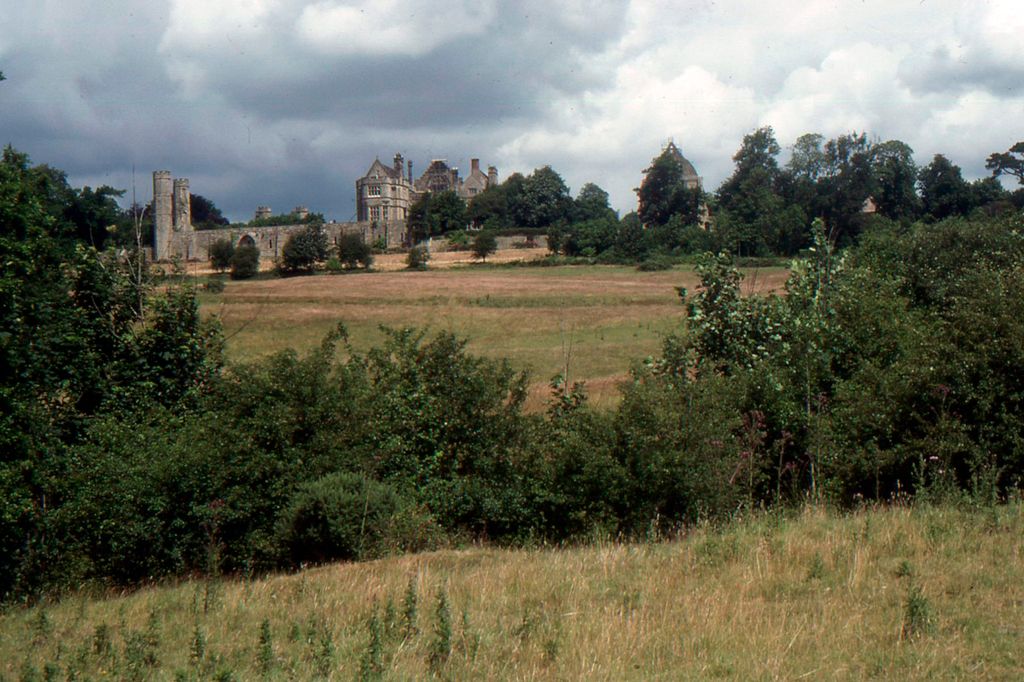
Senlac Hill or Senlac Ridge is generally accepted as the location in which Harold Godwinson deployed his army for the Battle of Hastings on 14 October 1066. It is located near what is now the town of Battle, East Sussex. The name Senlac was popularised by the Victorian historian E. A. Freeman, based solely on a description of the battle by the Anglo-Norman chronicler Orderic Vitalis. Freeman went on to suggest that the Normans nicknamed the area Blood lake as a pun on the English Sand lake.
It is probable that Orderic would have known the English name for Senlac, as he spent his early life in England since he had been born to an English mother. His education, towards the end of his time in England, was from an English monk. However, Freeman's hypothesis has been criticised by other historians since it relies purely on the evidence from Orderic Vitalis. Orderic was born nine years after the Battle of Hastings, and earlier chroniclers did not use the name Senlac.
There's a trail leading to the summit.
By elevation Senlac Hill is
# 68 out of 89 in High Weald AONB # 84 out of 111 in East Sussex
By prominence Senlac Hill is
# 56 out of 89 in High Weald AONB # 71 out of 111 in East Sussex
We use GPS information embedded into the photo when it is available.
3D mountains overlay
Adjust mountain panorama to perfectly match your photos because recorded by camera photo position might be imprecise.
Move tool
Rotate tool
Zoom
More customization
Choose which peak labels should make into the final photo and what photo title should be.
Next
Photo Location
Satellitte
Flat map
Relief map
Latitude
Longitude
Altitude
OR
Latitude
°'''
Longitude
°'''
Apply
Register Peak
Peak Name
Latitude
Longitude
Altitude
Register
Teleport
PeakVisor
This 3D model of Sagarmatha National Park in Nepal was made using the PeakVisor app topographic data. The mobile app features higher precision models worldwide, more topographic details, and works offline. Download PeakVisor maps today.
Download OBJ model
PeakVisor
The download should start shortly. If you find it useful please consider supporting the PeakVisor app.
PeakVisor for iOS and Android
Be a superhero of outdoor navigation with state-of-the-art 3D maps and mountain identification in the palm of your hand!