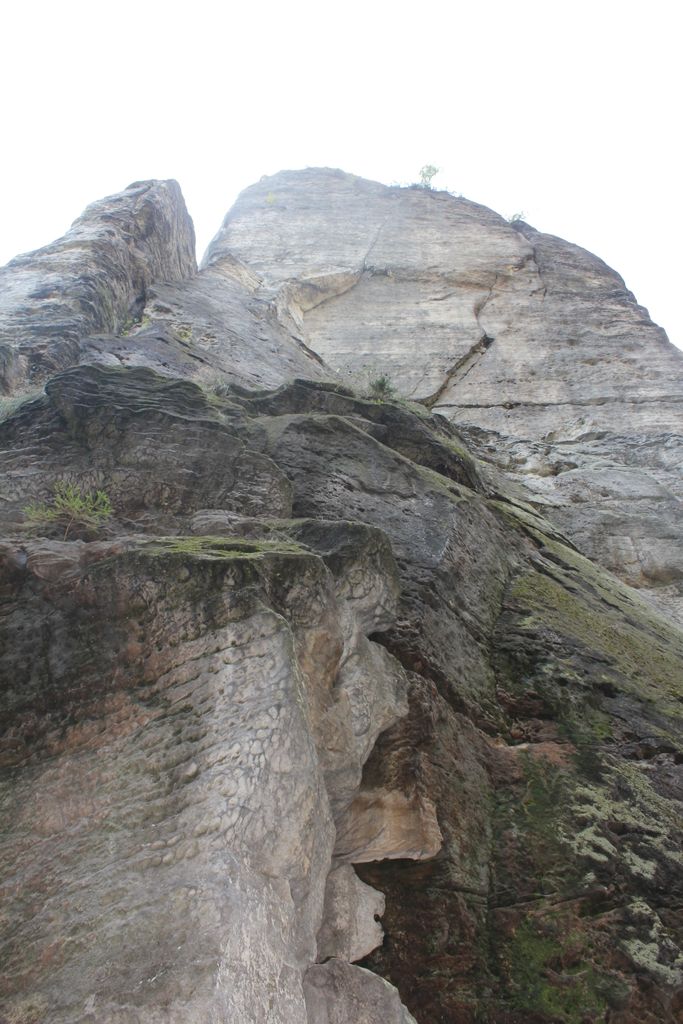
The Schwedenturm ("Sweden Tower") in East Germany is a 35-metre-high rock formation made of sandstone in the hills of Saxon Switzerland near the spa town of Rathen and the famous Bastei rocks.
From the car park for the Bastei, a path runs towards Schwedenlöcher. The Schwedenturm is situated on the right just before the entrance to a narrow ravine. Because it lies in the Saxon Switzerland Climbing Region the free-standing pinnacle may be used for climbing. Currently, there are 14 different climbing routes up the rock. It was here that the first grade Xb route in the mountain range was successfully climbed, route 6 (Versuch), by Bernd Arnold. The Schwedenturm was first climbed in 1905 by Rudolf Fehrmann and his brother Arymund.
We use GPS information embedded into the photo when it is available.
3D mountains overlay
Adjust mountain panorama to perfectly match your photos because recorded by camera photo position might be imprecise.
Move tool
Rotate tool
Zoom
More customization
Choose which peak labels should make into the final photo and what photo title should be.
Next
Photo Location
Satellitte
Flat map
Relief map
Latitude
Longitude
Altitude
OR
Latitude
°'''
Longitude
°'''
Apply
Register Peak
Peak Name
Latitude
Longitude
Altitude
Register
Teleport
PeakVisor
This 3D model of Sagarmatha National Park in Nepal was made using the PeakVisor app topographic data. The mobile app features higher precision models worldwide, more topographic details, and works offline. Download PeakVisor maps today.
Download OBJ model
PeakVisor
The download should start shortly. If you find it useful please consider supporting the PeakVisor app.
PeakVisor for iOS and Android
Be a superhero of outdoor navigation with state-of-the-art 3D maps and mountain identification in the palm of your hand!