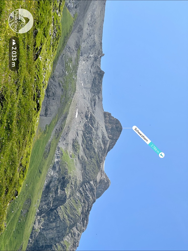
The Schwarzhorn is a mountain of the Bernese Alps, located between Brienz and Grindelwald in the Bernese Oberland. With a height of 2,928 metres above sea level, it is the highest summit of the group north of the Grosse Scheidegg Pass. The Schwarzhorn is also the highest point in the municipality of Brienz.
A small glacier named Blau Gletscherli lies on the north side of the mountain.
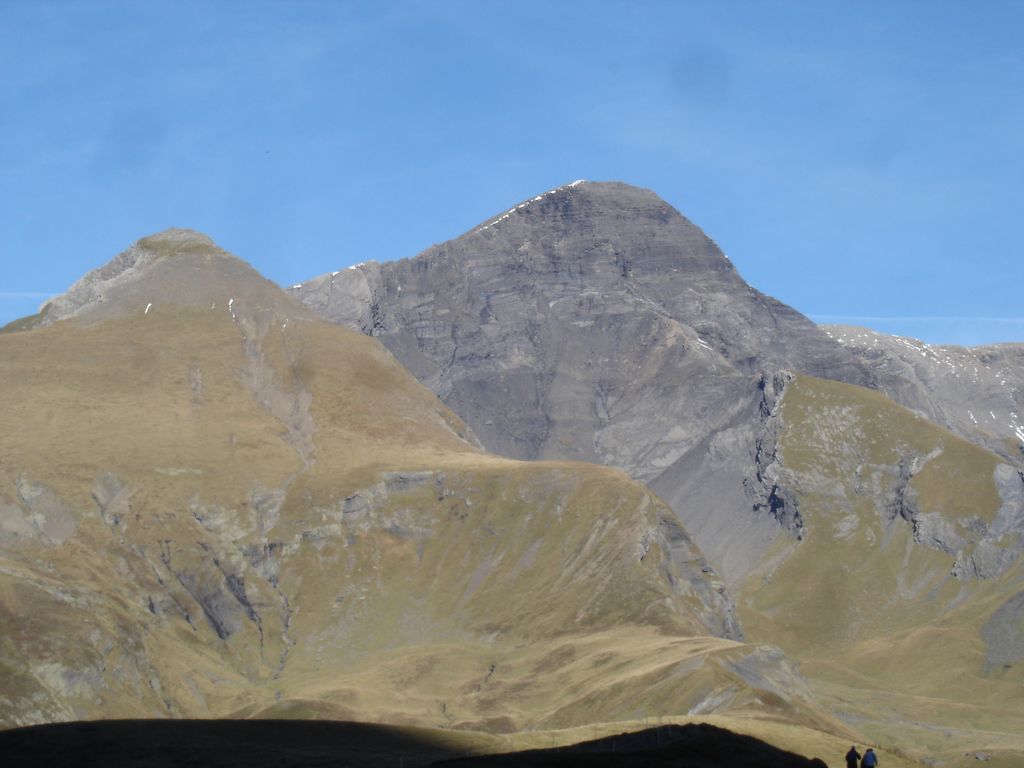
The Schwarzhorn is regarded as one of the most stunning look-out peaks in the Bernese Oberland. Its summit can be accessed by a trail on the southern ridge.
There's a demanding alpine trail (T5) leading to the summit.
The nearest mountain hut is Blümlisalphütte SAC located 948m/3 112ft ESE of the summit.
By elevation Schwarzhorn is
# 16 out of 1882 in the Swiss Prealps # 49 out of 279 in Verwaltungskreis Frutigen-Niedersimmental
By prominence Schwarzhorn is
# 97 out of 279 in Verwaltungskreis Frutigen-Niedersimmental
We use GPS information embedded into the photo when it is available.
3D mountains overlay
Adjust mountain panorama to perfectly match your photos because recorded by camera photo position might be imprecise.
Move tool
Rotate tool
Zoom
More customization
Choose which peak labels should make into the final photo and what photo title should be.
Next
Photo Location
Satellitte
Flat map
Relief map
Latitude
Longitude
Altitude
OR
Latitude
°'''
Longitude
°'''
Apply
Register Peak
Peak Name
Latitude
Longitude
Altitude
Register
Teleport
PeakVisor
This 3D model of Sagarmatha National Park in Nepal was made using the PeakVisor app topographic data. The mobile app features higher precision models worldwide, more topographic details, and works offline. Download PeakVisor maps today.
Download OBJ model
PeakVisor
The download should start shortly. If you find it useful please consider supporting the PeakVisor app.
PeakVisor for iOS and Android
Be a superhero of outdoor navigation with state-of-the-art 3D maps and mountain identification in the palm of your hand!