Scenic Hill (Chinese: 觀景山) is a hill on Chek Lap Kok, Hong Kong, and stands at a height of 77 metres (253 ft) above the sea level. Today, Scenic Hill is the tallest point on Chek Lap Kok Island, which houses Hong Kong International Airport. In the 1990s, taller nearby mountains on Chek Lap Kok Island were bulldozed to make reclaimed-land for the airport.
Near its summit, there is a Chinese pavilion where aviation enthusiasts often gather to take photos of aircraft landings and take-offs.
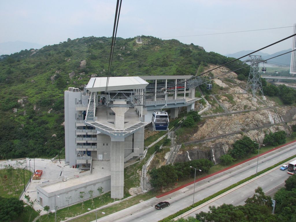
A tunnel called Scenic Hill Tunnel (觀景山隧道) is a road tunnel located below Scenic Hill. The west exit of the tunnel is near the Ngong Ping 360 Airport Island Angle Station and the fuel storage centre.
We use GPS information embedded into the photo when it is available.
3D mountains overlay
Adjust mountain panorama to perfectly match your photos because recorded by camera photo position might be imprecise.
Move tool
Rotate tool
Zoom
More customization
Choose which peak labels should make into the final photo and what photo title should be.
Next
Photo Location
Satellitte
Flat map
Relief map
Latitude
Longitude
Altitude
OR
Latitude
°'''
Longitude
°'''
Apply
Register Peak
Peak Name
Latitude
Longitude
Altitude
Register
Teleport
PeakVisor
This 3D model of Sagarmatha National Park in Nepal was made using the PeakVisor app topographic data. The mobile app features higher precision models worldwide, more topographic details, and works offline. Download PeakVisor maps today.
Download OBJ model
PeakVisor
The download should start shortly. If you find it useful please consider supporting the PeakVisor app.
PeakVisor for iOS and Android
Be a superhero of outdoor navigation with state-of-the-art 3D maps and mountain identification in the palm of your hand!


.jpg)


