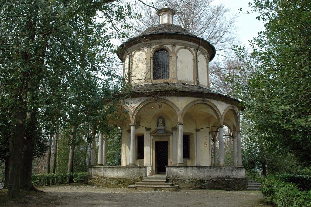
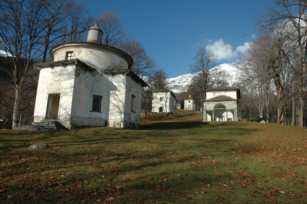
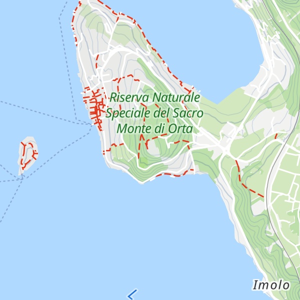
The Sacro Monte di Orta (literally: "Sacred Mountain of Orta") is a Roman Catholic devotional complex in the comune of Orta San Giulio (Piedmont, northern Italy) on the summit of a hill known as San Nicolao, on the eastern shore of Lake Orta. It is one of the Sacri Monti of Piedmont and Lombardy, included in UNESCO World Heritage list.
It is a stop-over on the CoEur devotional path.
Many of the artworks are of a high quality, some of the most highly thought of painters and sculptors of the period having been commissioned to produce them. The vegetation of the Sacred Mountain runs down to the shores of Lake Orta and was designed in line with ornamental criteria to match the architecture.
There's a trail called Viale Rossini Ing. Agabio leading to the summit. Sacro Monte di Orta is one of the 1 peaks along the VU1.
By elevation Sacro Monte di Orta is
# 1 out of 1 in Riserva Naturale Speciale del Sacro Monte di Orta # 63 out of 67 in Novara
By prominence Sacro Monte di Orta is
# 1 out of 1 in Riserva Naturale Speciale del Sacro Monte di Orta # 25 out of 67 in Novara
We use GPS information embedded into the photo when it is available.
3D mountains overlay
Adjust mountain panorama to perfectly match your photos because recorded by camera photo position might be imprecise.
Move tool
Rotate tool
Zoom
More customization
Choose which peak labels should make into the final photo and what photo title should be.
Next
Photo Location
Satellitte
Flat map
Relief map
Latitude
Longitude
Altitude
OR
Latitude
°'''
Longitude
°'''
Apply
Register Peak
Peak Name
Latitude
Longitude
Altitude
Register
Teleport
PeakVisor
This 3D model of Sagarmatha National Park in Nepal was made using the PeakVisor app topographic data. The mobile app features higher precision models worldwide, more topographic details, and works offline. Download PeakVisor maps today.
Download OBJ model
PeakVisor
The download should start shortly. If you find it useful please consider supporting the PeakVisor app.
PeakVisor for iOS and Android
Be a superhero of outdoor navigation with state-of-the-art 3D maps and mountain identification in the palm of your hand!