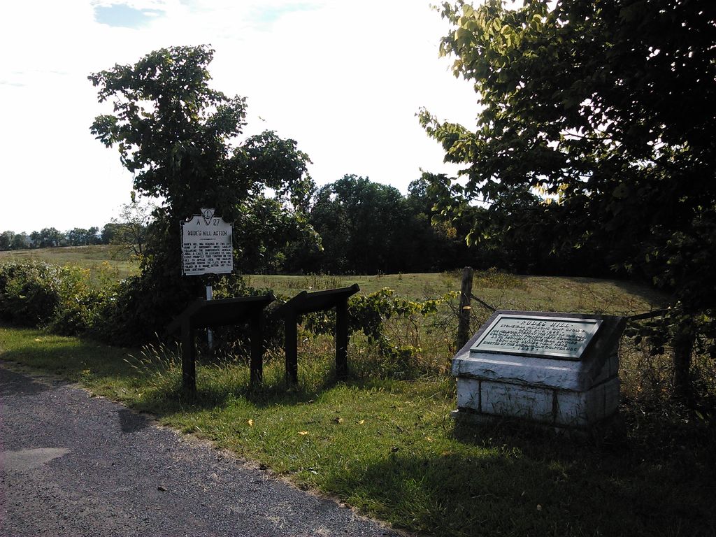
Rude's Hill is a 981-foot hill just outside of the town of Mt. Jackson in Shenandoah County, Virginia, United States, primarily known because it was a strategically placed elevation on which many Civil War events occurred. It was named after the Danish Lutheran minister Anders Rudolph Rude, who arrived in the US in 1836 and married the widow of the Steenbergen plantation. They inhabited a house on the hill called "Locust Grove" which dates to 1792, according to county records. As of July 2014 when the property was for sale, "Locust Grove" was in severely neglected condition with several ungainly exterior modifications over the years, but was still standing.
Rude's Hill was an important site in the American Civil War, occupying a commanding high point overlooking the key Valley Turnpike where is passes through a point between Smith Creek on the east and the North Fork of the Shenandoah River on the western side. Rude's Hill is the first elevation on that route beyond the flat Meems bottomland on the south end of the town of Mt. Jackson. It was a particularly defensible high ground because the only practical enemy approach to Rude's Hill was from the north was via single bridges spanning Mill Creek and the Shenandoah's north fork, after which an enemy would need to cross the broad, flat Meems Bottom, commanded by Rude's Hill beyond. And also because if required to retreat, a force could withdraw from Rude's Hill through mountain passes of the Massanutten Range. Because of its strategic placement and high ground location on the Valley Pike and the fact the area had so much action between 1862 and 1865, Rude's Hill figured prominently in the Civil War history of the Shenandoah Valley.
We use GPS information embedded into the photo when it is available.
3D mountains overlay
Adjust mountain panorama to perfectly match your photos because recorded by camera photo position might be imprecise.
Move tool
Rotate tool
Zoom
More customization
Choose which peak labels should make into the final photo and what photo title should be.
Next
Photo Location
Satellitte
Flat map
Relief map
Latitude
Longitude
Altitude
OR
Latitude
°'''
Longitude
°'''
Apply
Register Peak
Peak Name
Latitude
Longitude
Altitude
Register
Teleport
PeakVisor
This 3D model of Sagarmatha National Park in Nepal was made using the PeakVisor app topographic data. The mobile app features higher precision models worldwide, more topographic details, and works offline. Download PeakVisor maps today.
Download OBJ model
PeakVisor
The download should start shortly. If you find it useful please consider supporting the PeakVisor app.
PeakVisor for iOS and Android
Be a superhero of outdoor navigation with state-of-the-art 3D maps and mountain identification in the palm of your hand!