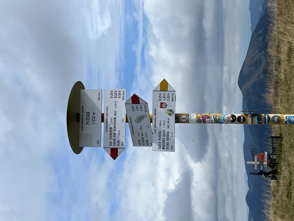
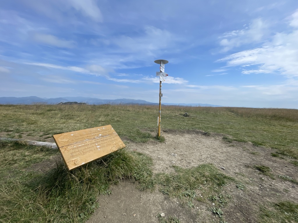
Ploská is a mountain in the Hôlna Fatra part of the Greater Fatra Range in Slovakia measuring 1,532.1 metres (5,026.6 ft). It lies on the main ridge, to South it continues to Ostredok and Krížna mountains, to the North it divides into the lower western Turiec Ridge (Slovak: Turčianský hrebeň) and higher eastern Liptov Ridge (Slovak: Liptovský hrebeň). It is unique by its large flat grass covered summit, the slopes are dangerous in winter because of frequent avalanches which have claimed many lives.
There's a trail leading to the summit. Ploská is one of the 14 peaks along the Veľkofatranská magistrála.
The nearest mountain hut is Salaš Sestričky located 1 052m/3 452ft NW of the summit.
By elevation Ploská is
# 6 out of 127 in Greater Fatra National Park # 6 out of 276 in the Great Fatra
By prominence Ploská is
# 79 out of 1942 in Region of Žilina # 9 out of 127 in Greater Fatra National Park # 16 out of 276 in the Great Fatra
We use GPS information embedded into the photo when it is available.
3D mountains overlay
Adjust mountain panorama to perfectly match your photos because recorded by camera photo position might be imprecise.
Move tool
Rotate tool
Zoom
More customization
Choose which peak labels should make into the final photo and what photo title should be.
Next
Photo Location
Satellitte
Flat map
Relief map
Latitude
Longitude
Altitude
OR
Latitude
°'''
Longitude
°'''
Apply
Register Peak
Peak Name
Latitude
Longitude
Altitude
Register
Teleport
PeakVisor
This 3D model of Sagarmatha National Park in Nepal was made using the PeakVisor app topographic data. The mobile app features higher precision models worldwide, more topographic details, and works offline. Download PeakVisor maps today.
Download OBJ model
PeakVisor
The download should start shortly. If you find it useful please consider supporting the PeakVisor app.
PeakVisor for iOS and Android
Be a superhero of outdoor navigation with state-of-the-art 3D maps and mountain identification in the palm of your hand!


_-_view_from_under_K%C3%BD%C5%A1ky.jpg)


