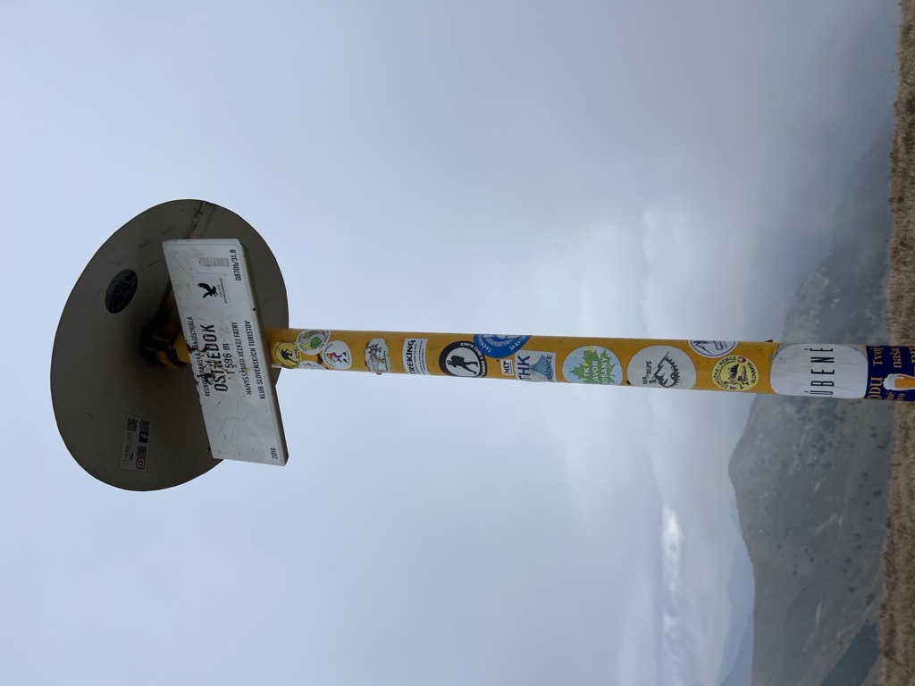
Ostredok (1,596 m above sea level) is the highest hill of the Great Fatra, at the same time in the National Park Veľká Fatra. It lies in the main ridge of the mountain. It has two peaks, the main southern (1,596 m above sea level) and a few meters lower north (1,593 m above sea level). The peaks are luminous, providing an undisturbed circular view. The slopes of Ostredok are smoothly modeled, steep, in winter there is a danger of avalanche dropping.
The 49 km long Great-Frontier Highway is marked by the red tourist sign marked with a red tourist mark. [1]
In Slovakia there are up to six hills called Ostredok. [2] [3]
There's a trail leading to the summit. Ostredok is one of the 14 peaks along the Veľkofatranská magistrála.
The nearest mountain hut is Salaš pod Suchým Vrchom located 1 842m/6 045ft NNE of the summit.
By elevation Ostredok is
# 1 out of 127 in Greater Fatra National Park # 1 out of 276 in the Great Fatra
By prominence Ostredok is
# 14 out of 8386 in Slovakia # 7 out of 1942 in Region of Žilina # 1 out of 127 in Greater Fatra National Park # 58 out of 25182 in the Carpathian Mountains # 1 out of 276 in the Great Fatra
We use GPS information embedded into the photo when it is available.
3D mountains overlay
Adjust mountain panorama to perfectly match your photos because recorded by camera photo position might be imprecise.
Move tool
Rotate tool
Zoom
More customization
Choose which peak labels should make into the final photo and what photo title should be.
Next
Photo Location
Satellitte
Flat map
Relief map
Latitude
Longitude
Altitude
OR
Latitude
°'''
Longitude
°'''
Apply
Register Peak
Peak Name
Latitude
Longitude
Altitude
Register
Teleport
PeakVisor
This 3D model of Sagarmatha National Park in Nepal was made using the PeakVisor app topographic data. The mobile app features higher precision models worldwide, more topographic details, and works offline. Download PeakVisor maps today.
Download OBJ model
PeakVisor
The download should start shortly. If you find it useful please consider supporting the PeakVisor app.
PeakVisor for iOS and Android
Be a superhero of outdoor navigation with state-of-the-art 3D maps and mountain identification in the palm of your hand!


_-_NE_slope.jpg)


