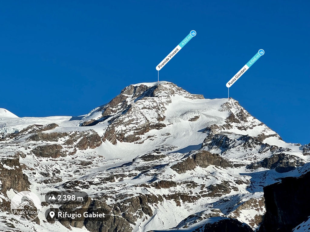
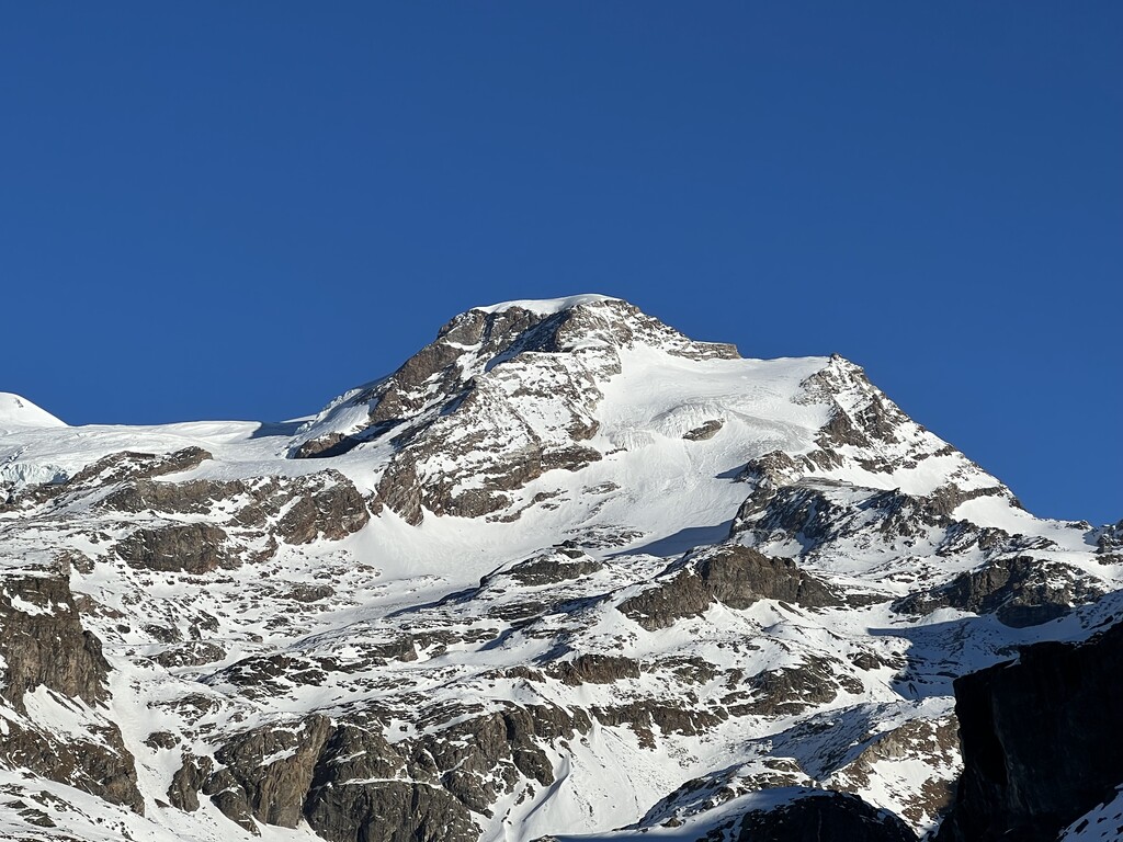
The Vincent Pyramid (Walser German: Vincentpiramid, French: Pyramide Vincent, Italian: Piramide Vincent) (4,215 m (13,829 ft)) is a mountain of the Pennine Alps, located on the border between the Italian regions of Aosta Valley and Piedmont. The Vincent Pyramid makes up a large buttress of the huge multi-summited Monte Rosa. It lies south of the Ludwigshöhe on the border with Switzerland, between the Lysgletscher and the Piode Glacier. A secondary summit of the Vincent Pyramid, the Punta Giordani/Giordanispétz (4,046 m (13,274 ft)), lies to the southeast. Both Vincent Pyramid and Punta Giordani are on the official UIAA list of Alpine four-thousanders.
The Vincent Pyramid summit was successfully climbed on 15 August 1819 by the brothers Nicolas (Johann Nikolaus) and Joseph Vincent from Gressoney-Saint-Jean, after whom the peak has been named.
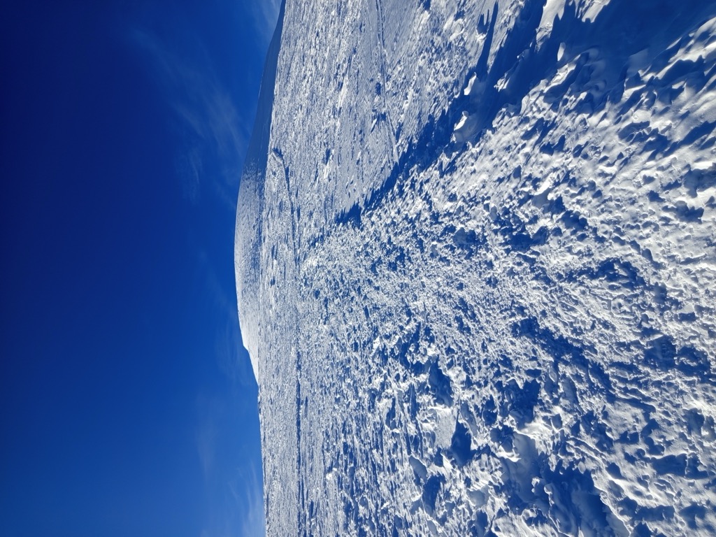
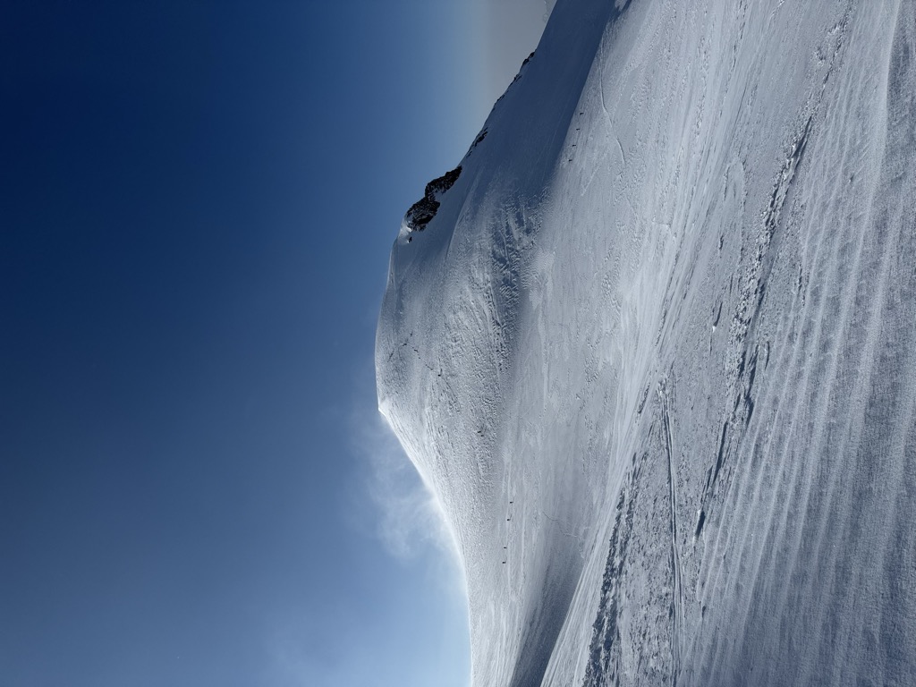
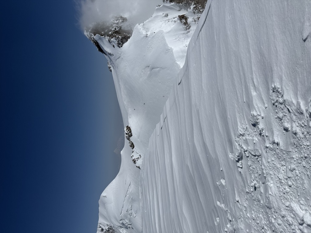
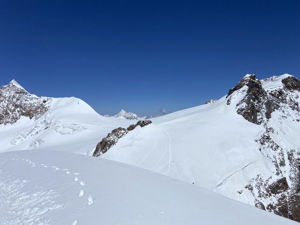
It is one of the few peaks on Monte Rosa to lie entirely within Italian territory and is the fourth highest peak, completely in Italy. It is normally ascended from the Gnifetti Hut at the foot of the Lys Glacier and is rated as PD (Peu Difficile); a straightforward introduction to alpine climbing and often ascended in conjunction with another peak on Monte Rosa.
There's a difficult alpine trail (T6) leading to the summit.
The nearest mountain hut is Bivacco Felice Giordano located 677m/2 220ft NNW of the summit.
By elevation Piramide Vincent is
# 50 out of 60693 in the Alps # 5 out of 390 in Vercelli # 29 out of 42694 in Italy # 10 out of 4320 in Piemont # 22 out of 1186 in Aosta Valley # 32 out of 2009 in the Pennine Alps
We use GPS information embedded into the photo when it is available.
3D mountains overlay
Adjust mountain panorama to perfectly match your photos because recorded by camera photo position might be imprecise.
Move tool
Rotate tool
Zoom
More customization
Choose which peak labels should make into the final photo and what photo title should be.
Next
Photo Location
Satellitte
Flat map
Relief map
Latitude
Longitude
Altitude
OR
Latitude
°'''
Longitude
°'''
Apply
Register Peak
Peak Name
Latitude
Longitude
Altitude
Register
Teleport
PeakVisor
This 3D model of Sagarmatha National Park in Nepal was made using the PeakVisor app topographic data. The mobile app features higher precision models worldwide, more topographic details, and works offline. Download PeakVisor maps today.
Download OBJ model
PeakVisor
The download should start shortly. If you find it useful please consider supporting the PeakVisor app.
PeakVisor for iOS and Android
Be a superhero of outdoor navigation with state-of-the-art 3D maps and mountain identification in the palm of your hand!