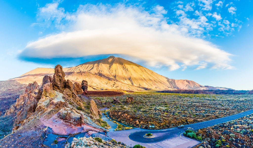
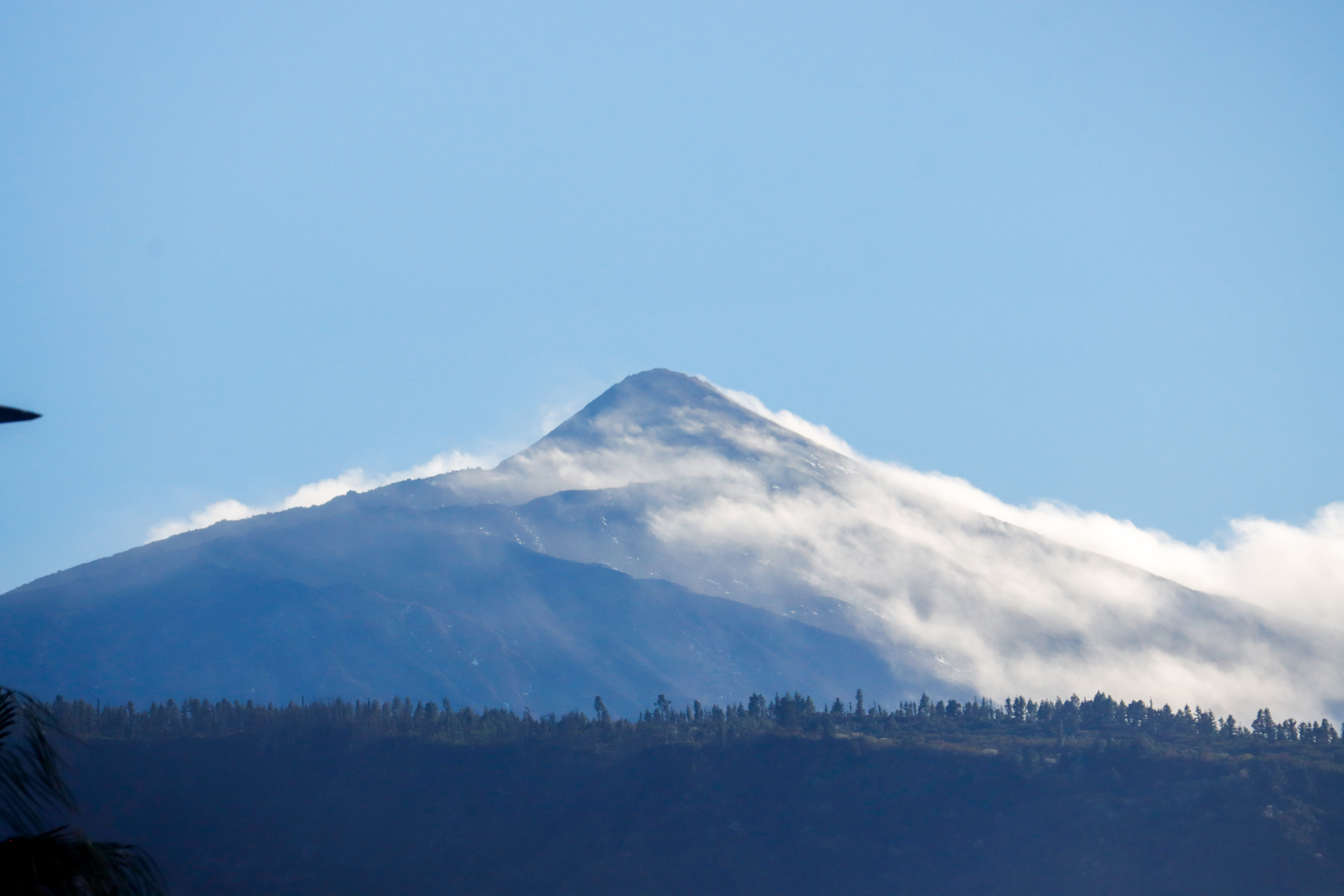
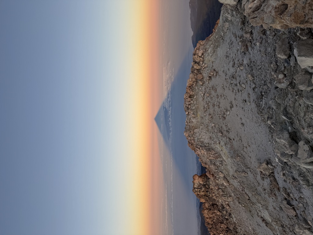
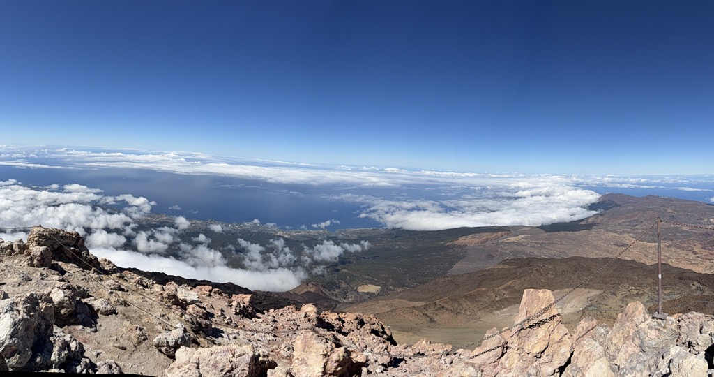
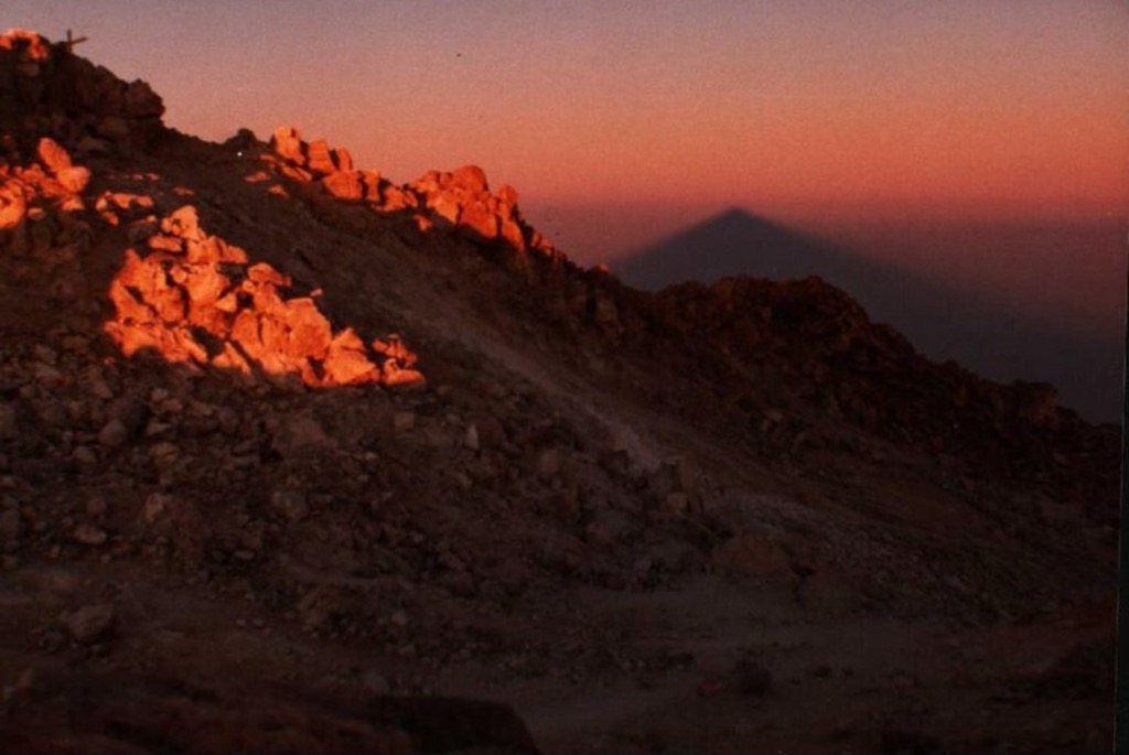
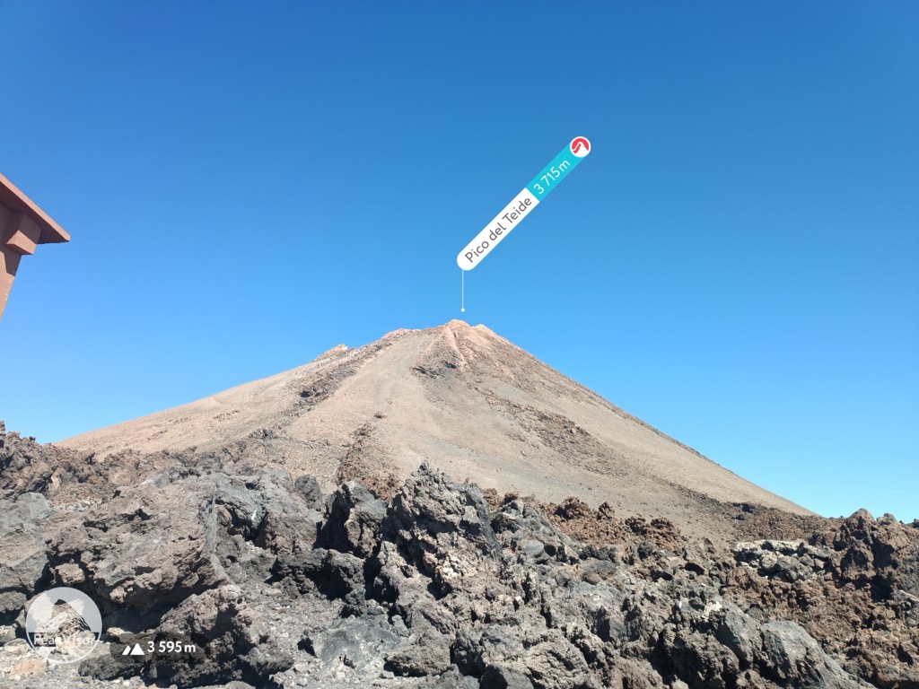
Teide, or Mount Teide, (Spanish: El Teide, Pico del Teide, pronounced [ˈpiko ðel ˈtejðe], "Peak of Teide") is a volcano on Tenerife in the Canary Islands, Spain. Its summit (at 3,715 m (12,188 ft)) is the highest point in Spain and the highest point above sea level in the islands of the Atlantic. If measured from the ocean floor, its height of 7,500 m (24,600 ft) makes Teide the third-highest volcano in the world, UNESCO and NASA rank it as Earth's third-tallest volcanic structure. Teide's elevation above sea level makes Tenerife the tenth highest island in the world.
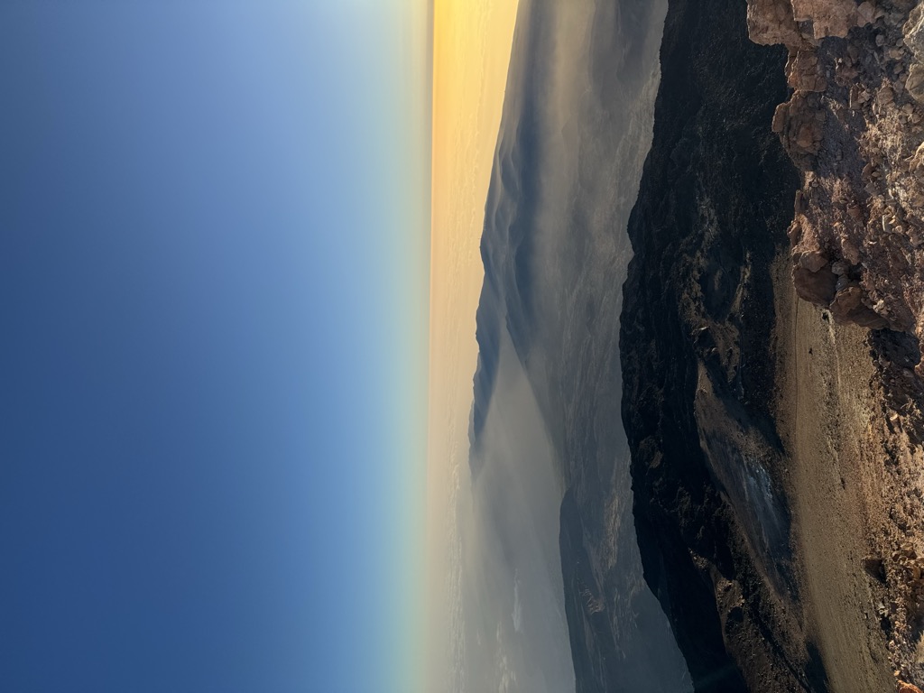
Teide started forming 170,000 years ago due to volcanic activity following a catastrophic landslide. Teide's base is situated in Las Cañadas crater (the remains of an older, eroded, extinct volcano) at a height of around 2,190 m (7,190 ft) above sea level. Teide is an active volcano: its most recent eruption occurred in late 1909 from the El Chinyero vent on the northwestern Santiago rift. The United Nations Committee for Disaster Mitigation designated Teide a Decade Volcano because of its history of destructive eruptions and its proximity to several large towns, of which the closest are Garachico, Icod de los Vinos and Puerto de la Cruz. Teide, Pico Viejo and Montaña Blanca form the Central Volcanic Complex of Tenerife.
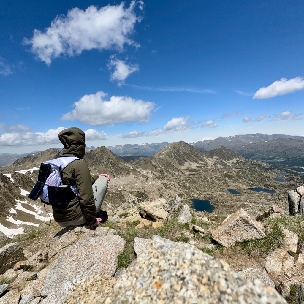
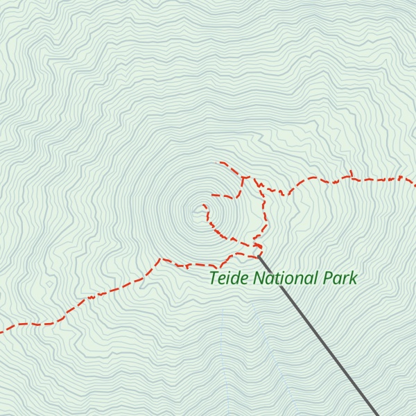
The volcano and its surroundings make up Teide National Park, which has an area of 18,900 hectares (47,000 acres) and was named a World Heritage Site by UNESCO in 2007. Teide is the most visited natural wonder of Spain, the most visited national park in Spain and Europe and, by 2015, the eighth most visited in the world, with some 3 million visitors yearly. In 2016, it was visited by 4,079,823 visitors and tourists, reaching a historical record. Teide Observatory, a major international astronomical observatory, is located on the slopes of the mountain.
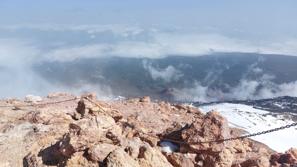
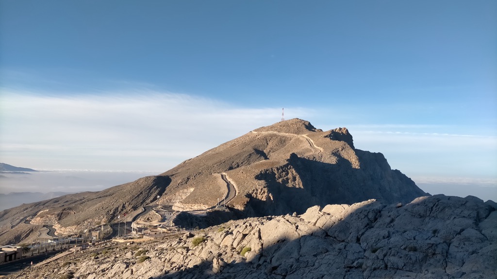
There's a hiking trail (T2) called Sendero Telesforo Bravo leading to the summit. Teide is one of the 1 peaks along the PR-TF 41 Playa de El Socorro - Pico del Teide.
The nearest mountain hut is Refugio de Altavista located 1 251m/4 105ft E of the summit.
By elevation Teide is
# 1 out of 10 in Monumento Natural del Teide # 1 out of 72 in Teide National Park # 1 out of 81984 in Spain # 1 out of 173 in Parque Natural de Corona Forestal # 1 out of 1148 in Santa Cruz de Tenerife # 1 out of 2470 in Canary Islands
By prominence Teide is
# 1 out of 10 in Monumento Natural del Teide # 1 out of 72 in Teide National Park # 1 out of 81984 in Spain # 1 out of 173 in Parque Natural de Corona Forestal # 1 out of 1148 in Santa Cruz de Tenerife # 1 out of 2470 in Canary Islands
We use GPS information embedded into the photo when it is available.
3D mountains overlay
Adjust mountain panorama to perfectly match your photos because recorded by camera photo position might be imprecise.
Move tool
Rotate tool
Zoom
More customization
Choose which peak labels should make into the final photo and what photo title should be.
Next
Photo Location
Satellitte
Flat map
Relief map
Latitude
Longitude
Altitude
OR
Latitude
°'''
Longitude
°'''
Apply
Register Peak
Peak Name
Latitude
Longitude
Altitude
Register
Teleport
PeakVisor
This 3D model of Sagarmatha National Park in Nepal was made using the PeakVisor app topographic data. The mobile app features higher precision models worldwide, more topographic details, and works offline. Download PeakVisor maps today.
Download OBJ model
PeakVisor
The download should start shortly. If you find it useful please consider supporting the PeakVisor app.
PeakVisor for iOS and Android
Be a superhero of outdoor navigation with state-of-the-art 3D maps and mountain identification in the palm of your hand!