Phelps Mountain is a mountain located in Essex County, New York.
The mountain is named after Orson Schofield "Old Mountain" Phelps (1817–1905), who cut the first trail up Mount Marcy and named several of the Adirondack peaks. It is the 32nd highest peak in New York.
Phelps Mountain is flanked to the southeast by Table Top Mountain.
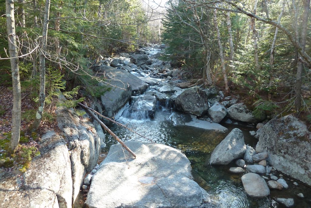
Phelps Mountain stands within the watershed of the West Branch of the Ausable River, which drains into Lake Champlain, thence into Canada's Richelieu River, the Saint Lawrence River, and into the Gulf of Saint Lawrence.
The south side of Phelps Mtn. drains into Phelps Brook, thence into Marcy Brook, and the Ausable's West Branch.
The northwest side of Phelps Mtn. drains into Pelkey Brook, thence into Marcy Brook.
The northeast side of Phelps drains into Klondike Brook, thence into Marcy Brook.
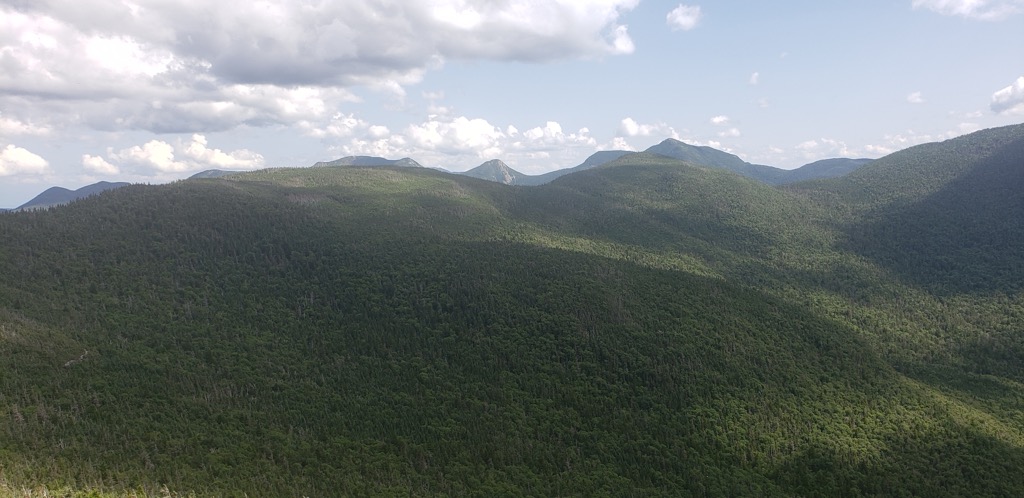
Phelps is climbed regularly, and has a well marked trail. The trail is rocky and is very steep in some parts of the final approach to the summit. There are good views of Marcy, Colden, and Algonquin near the summit. There are also views of the ridge formed by Table Top, Yard, and Big Slide. There is a partial view of The Great Range, and Giant can be seen in the distance.
Phelps Mountain is within the High Peaks Wilderness Area of the Adirondack State Park.
There's a hiking trail (T2) called Phelps Mountain Trail leading to the summit. Phelps Mountain is one of the 1 peaks along the Phelps Mountain Trail.
By elevation Phelps Mountain is
# 42 out of 1601 in Adirondack Park # 43 out of 3825 in New York # 38 out of 126 in High Peaks Wilderness # 41 out of 591 in Essex County # 42 out of 1678 in the Adirondack Mountains
We use GPS information embedded into the photo when it is available.
3D mountains overlay
Adjust mountain panorama to perfectly match your photos because recorded by camera photo position might be imprecise.
Move tool
Rotate tool
Zoom
More customization
Choose which peak labels should make into the final photo and what photo title should be.
Next
Photo Location
Satellitte
Flat map
Relief map
Latitude
Longitude
Altitude
OR
Latitude
°'''
Longitude
°'''
Apply
Register Peak
Peak Name
Latitude
Longitude
Altitude
Register
Teleport
PeakVisor
This 3D model of Sagarmatha National Park in Nepal was made using the PeakVisor app topographic data. The mobile app features higher precision models worldwide, more topographic details, and works offline. Download PeakVisor maps today.
Download OBJ model
PeakVisor
The download should start shortly. If you find it useful please consider supporting the PeakVisor app.
PeakVisor for iOS and Android
Be a superhero of outdoor navigation with state-of-the-art 3D maps and mountain identification in the palm of your hand!