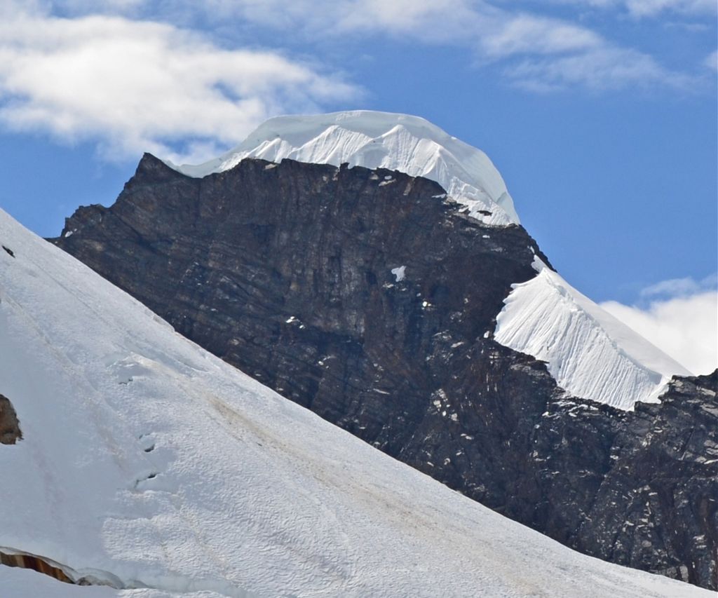
Pease Peak is a 7,750 ft (2,360 m) mountain summit located in the Alaska Range, in Denali National Park and Preserve, in the U.S. state of Alaska. It is situated 1,500 feet above the Tokositna Glacier to its west, and Ruth Glacier to the east, along the southern margin of the Don Sheldon Amphitheater, 11 mi (18 km) southeast of Denali, 2.84 mi (5 km) southeast of The Rooster Comb, and 0.45 mi (1 km) west of Mount Dickey, which is the nearest higher peak. Dickey forms the eastern buttress of Pittock Pass, whereas Pease forms the western buttress. Although overlooked as a climbing destination, the peak is often seen due to its proximity to the air taxi landing area and the Sheldon Chalet immediately north of the peak. Pease Peak, and its variant name Mount Pease, is based on a mountain climber's name that was published in the late 1940s.
By elevation Pease Peak is
# 59 out of 205 in Matanuska-Susitna # 83 out of 151 in Denali National Park and Preserve
We use GPS information embedded into the photo when it is available.
3D mountains overlay
Adjust mountain panorama to perfectly match your photos because recorded by camera photo position might be imprecise.
Move tool
Rotate tool
Zoom
More customization
Choose which peak labels should make into the final photo and what photo title should be.
Next
Photo Location
Satellitte
Flat map
Relief map
Latitude
Longitude
Altitude
OR
Latitude
°'''
Longitude
°'''
Apply
Register Peak
Peak Name
Latitude
Longitude
Altitude
Register
Teleport
PeakVisor
This 3D model of Sagarmatha National Park in Nepal was made using the PeakVisor app topographic data. The mobile app features higher precision models worldwide, more topographic details, and works offline. Download PeakVisor maps today.
Download OBJ model
PeakVisor
The download should start shortly. If you find it useful please consider supporting the PeakVisor app.
PeakVisor for iOS and Android
Be a superhero of outdoor navigation with state-of-the-art 3D maps and mountain identification in the palm of your hand!