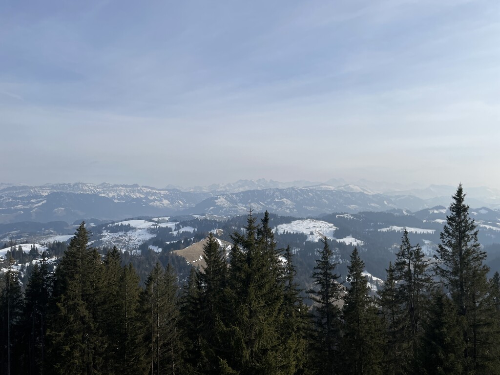
The Napf is a mountain on the border between the Swiss cantons of Bern and Lucerne. With an altitude of 1,408 meters (4,619 ft), it is the summit of the Napfgebiet (Napf region), the hilly region lying between Bern and Lucerne. It is counted geologically as part of the Swiss plateau, although it is sometimes considered part of the Emmental Alps. The region is bounded by the Emmental to the south-west and the Entlebuch to the east. The region is traversed by the Brünig-Napf-Reuss line.
The peak is surrounded by steep hills that are a patchwork of evergreen forests and small mountain farms. Nearby towns include Romoos, Doppleschwand, Michlischwand, Luthern, and Menzberg.
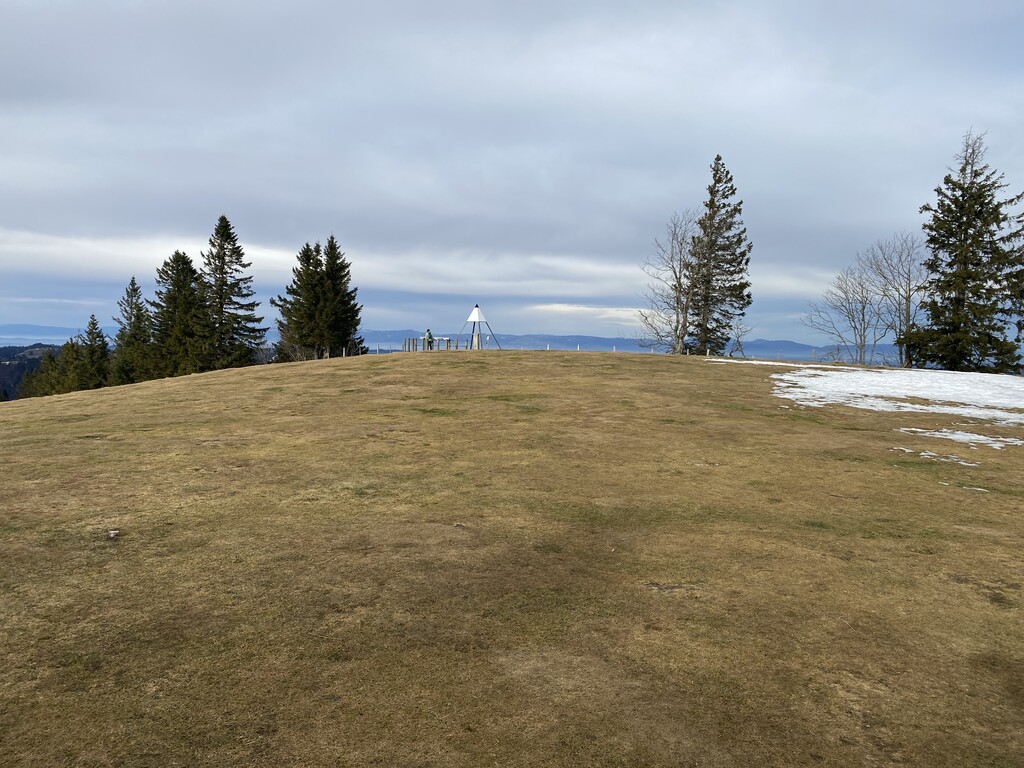
There's a trail leading to the summit. Napf is one of the 13 peaks along the multi-day Alpine Panorama Trail.
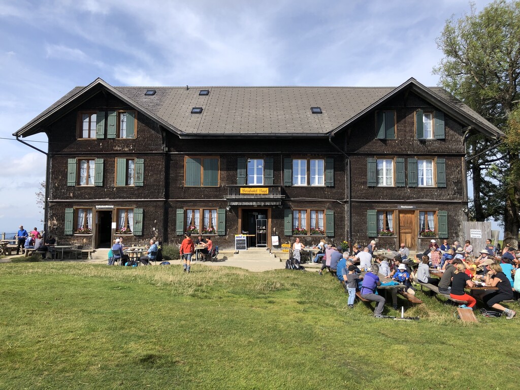
The nearest mountain hut is Gruppenunterkunft Mettlenalp located 1 103m/3 620ft S of the summit.
By elevation Napf is
# 14 out of 168 in Verwaltungskreis Emmental # 78 out of 229 in Luzern
By prominence Napf is
# 2 out of 168 in Verwaltungskreis Emmental # 4 out of 229 in Luzern # 23 out of 1615 in Bern
We use GPS information embedded into the photo when it is available.
3D mountains overlay
Adjust mountain panorama to perfectly match your photos because recorded by camera photo position might be imprecise.
Move tool
Rotate tool
Zoom
More customization
Choose which peak labels should make into the final photo and what photo title should be.
Next
Photo Location
Satellitte
Flat map
Relief map
Latitude
Longitude
Altitude
OR
Latitude
°'''
Longitude
°'''
Apply
Register Peak
Peak Name
Latitude
Longitude
Altitude
Register
Teleport
PeakVisor
This 3D model of Sagarmatha National Park in Nepal was made using the PeakVisor app topographic data. The mobile app features higher precision models worldwide, more topographic details, and works offline. Download PeakVisor maps today.
Download OBJ model
PeakVisor
The download should start shortly. If you find it useful please consider supporting the PeakVisor app.
PeakVisor for iOS and Android
Be a superhero of outdoor navigation with state-of-the-art 3D maps and mountain identification in the palm of your hand!