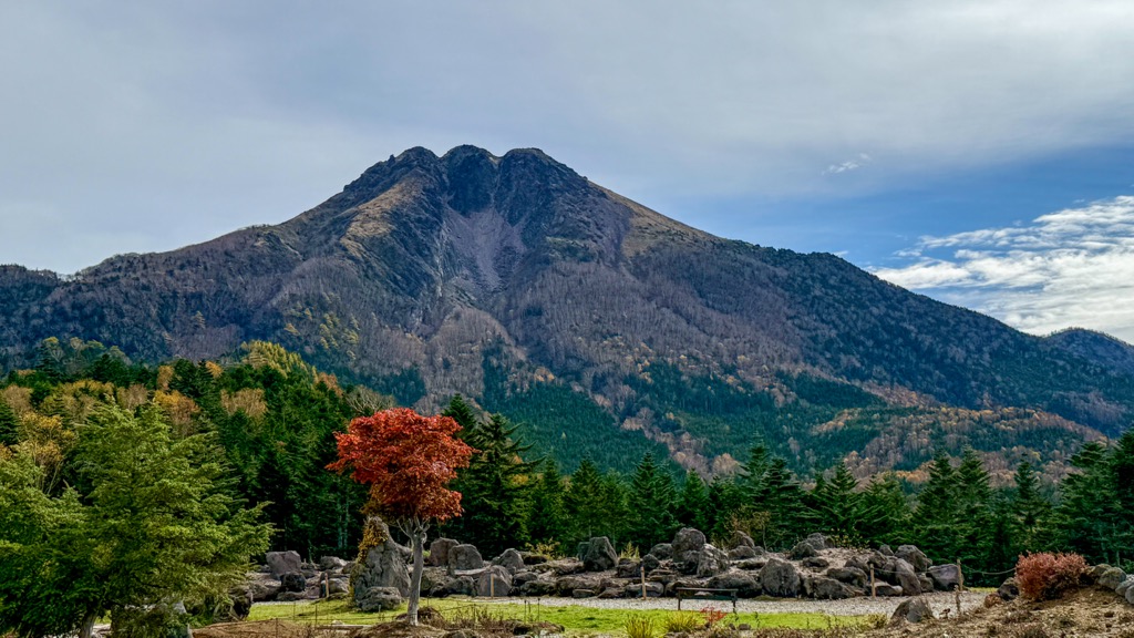
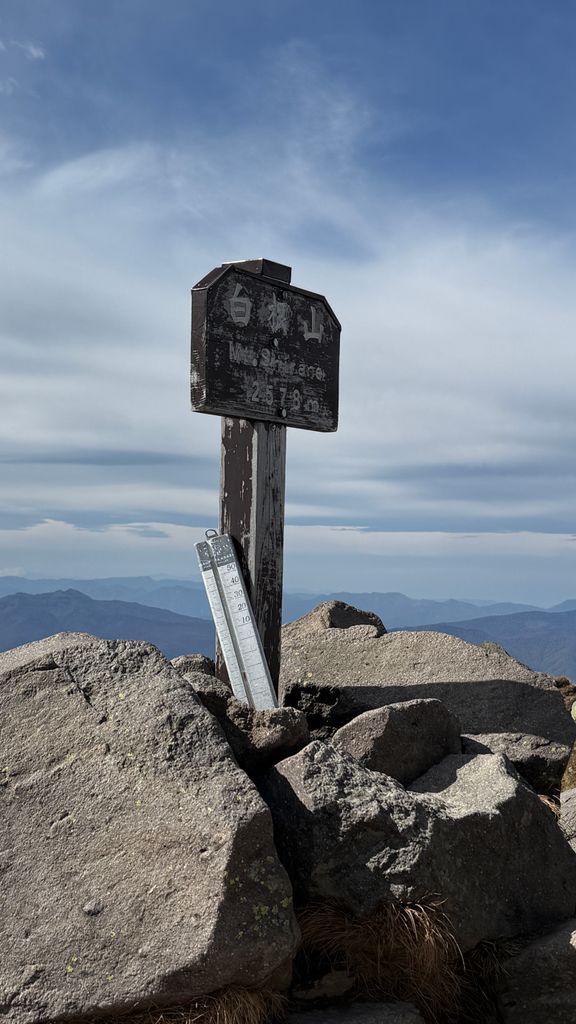
Mount Nikkō-Shirane (日光白根山, Nikkō-Shirane-san) is a stratovolcano in the Nikkō National Park in central Honshū, the main island of Japan. It stands at 2,578 m high. It is the highest mountain in north eastern Japan (no higher mountains exist in the east or north of this mountain). Its peak (Mt Okushirane) is a Lava dome of andesite. Mt Nikkō-Shirane is listed in the 100 famous mountains in Japan proposed by Kyuya Fukada and also of one of the famous mountains of Tochigi and Gunma prefectures respectively.
It should not be confused with Mount Kusatsu-Shirane elsewhere in Gunma Prefecture. It is located at the boundary between Nikko City, Tochigi Prefecture and Katashina Village, Tone County Gunma Prefecture.
Mt. Nikko Shirane is surrounded by the mountains of the Shirane volcano (Neogene volcano) and is often hidden by clouds throughout the year. From the Kanto Plain only the dome-shaped (Quaternary volcano) summit is visible.
In winter if the weather conditions permit, the white snow fields on the darker surroundings slopes can make the mountain and peak appear exceptionally white.
Its peak is the highest point in both Tochigi and Gunma Prefectures
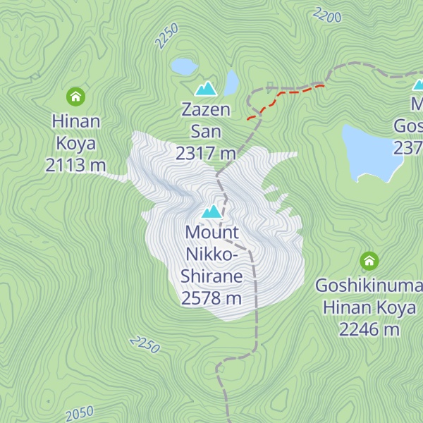
The area around Shirane Volcano is designated as Nikko National Park in which there are various natural features such as Goshiki pond, Yuno lake, Yu falls, Senjo moor, and Odashiro moor. Being a designated national park, the alpine plants and vegetation are protected.
The plant Sycamore mallow, which naturally appears on this mountain, can hardly be seen at the present time, with the withering of these plants also in the surrounding mountains, which is caused by air pollutants coming from the Tokyo metropolitan area.
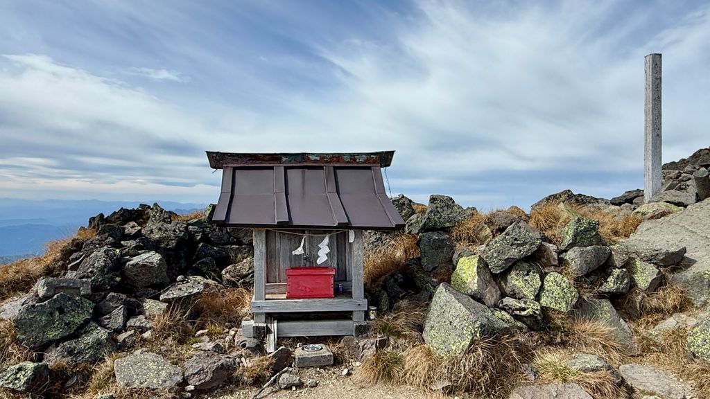
There's a trail leading to the summit.
The nearest mountain hut is Goshikinuma Hinan Koya located 899m/2 949ft ESE of the summit.
By elevation Mount Nikko-Shirane is
# 1 out of 106 in Tochigi Prefecture # 1 out of 189 in Gunma Prefecture # 1 out of 63 in Tone District # 1 out of 29 in the Ashio Mountains
By prominence Mount Nikko-Shirane is
# 19 out of 10903 in the Japanese Mountains # 1 out of 106 in Tochigi Prefecture # 1 out of 189 in Gunma Prefecture # 1 out of 63 in Tone District # 19 out of 11291 in Japan # 1 out of 29 in the Ashio Mountains
We use GPS information embedded into the photo when it is available.
3D mountains overlay
Adjust mountain panorama to perfectly match your photos because recorded by camera photo position might be imprecise.
Move tool
Rotate tool
Zoom
More customization
Choose which peak labels should make into the final photo and what photo title should be.
Next
Photo Location
Satellitte
Flat map
Relief map
Latitude
Longitude
Altitude
OR
Latitude
°'''
Longitude
°'''
Apply
Register Peak
Peak Name
Latitude
Longitude
Altitude
Register
Teleport
PeakVisor
This 3D model of Sagarmatha National Park in Nepal was made using the PeakVisor app topographic data. The mobile app features higher precision models worldwide, more topographic details, and works offline. Download PeakVisor maps today.
Download OBJ model
PeakVisor
The download should start shortly. If you find it useful please consider supporting the PeakVisor app.
PeakVisor for iOS and Android
Be a superhero of outdoor navigation with state-of-the-art 3D maps and mountain identification in the palm of your hand!