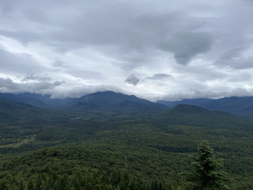
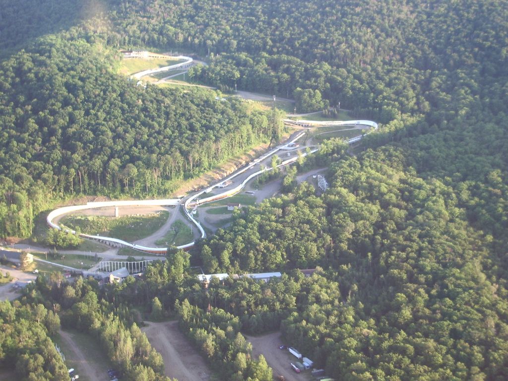
Mount Van Hoevenberg is a summit point located in the Adirondack Mountains in the Town of North Elba, Essex County, New York, 9 miles (15 km) east-southeast of the village of Lake Placid. Named for Henry Van Hoevenberg (1849–1918) (not to be confused with the American football player Henry Van Hoevenberg), it is best known for the location of the bobsleigh, luge, and skeleton track, and of a network of cross-country ski trails. The Mount Van Hoevenberg sports complex was used to host the 1932 (bobsleigh) and 1980 Winter Olympics (bobsleigh, luge, cross-country skiing, and biathlon).
Mount Van Hoevenberg stands within the watershed of the West Branch of the Ausable River, which drains into Lake Champlain, thence into Canada's Richelieu River, the Saint Lawrence River, and into the Gulf of Saint Lawrence.
The southwest slopes of Mt. Van Hoevenberg drain directly into the West Branch.
The northern and southern slopes of Van Hoevenberg drain into the North and South Meadow Brooks, respectively — tributaries of the West Branch.
The mountain is part of the Olympic Regional Development Authority (ORDA). ORDA maintains the cross-country ski and biathlon trail system originally used in the 1980 Olympics.
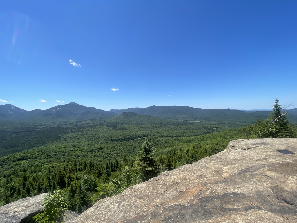
During the summer, the mountain is used for hiking and mountain biking.
There's a hiking trail (T2) called Mount Van Hoevenberg Trail leading to the summit. Mount Van Hoevenberg is one of the 1 peaks along the Mount Van Hoevenberg Trail.
By elevation Mount Van Hoevenberg is
# 95 out of 126 in High Peaks Wilderness
By prominence Mount Van Hoevenberg is
# 36 out of 126 in High Peaks Wilderness # 95 out of 591 in Essex County
We use GPS information embedded into the photo when it is available.
3D mountains overlay
Adjust mountain panorama to perfectly match your photos because recorded by camera photo position might be imprecise.
Move tool
Rotate tool
Zoom
More customization
Choose which peak labels should make into the final photo and what photo title should be.
Next
Photo Location
Satellitte
Flat map
Relief map
Latitude
Longitude
Altitude
OR
Latitude
°'''
Longitude
°'''
Apply
Register Peak
Peak Name
Latitude
Longitude
Altitude
Register
Teleport
PeakVisor
This 3D model of Sagarmatha National Park in Nepal was made using the PeakVisor app topographic data. The mobile app features higher precision models worldwide, more topographic details, and works offline. Download PeakVisor maps today.
Download OBJ model
PeakVisor
The download should start shortly. If you find it useful please consider supporting the PeakVisor app.
PeakVisor for iOS and Android
Be a superhero of outdoor navigation with state-of-the-art 3D maps and mountain identification in the palm of your hand!