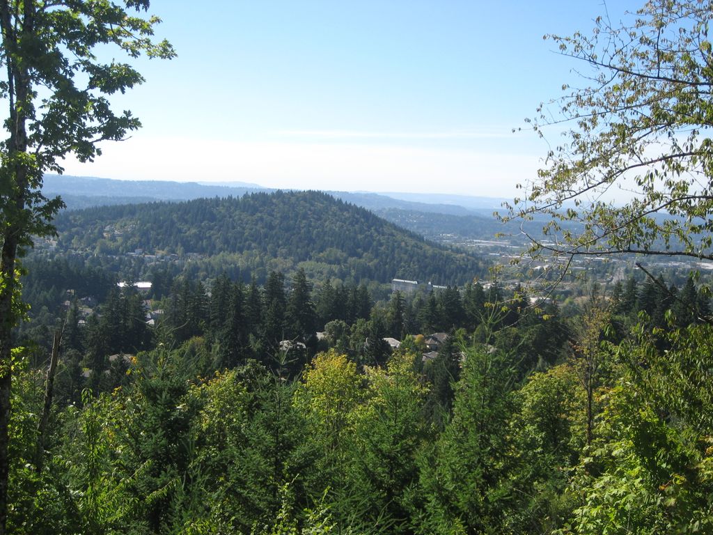
Mount Talbert is a volcanic cinder cone in Clackamas County, Oregon. It is part of the Boring Lava Field, a zone of ancient volcanic activity in the area around Portland. Its summit rises to an elevation of 740+ ft (230+ m).
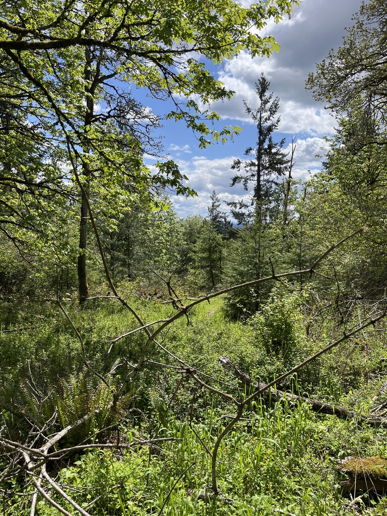
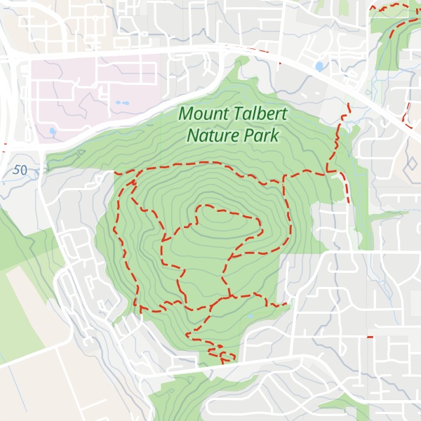
The butte remains undeveloped and is the location of a nature park of the same name which is managed by North Clackamas Parks & Recreation District. The park has 4.2 miles (6.8 km) of hiking trails, including Park Loop, Summit and West Ridge Trail, along which there are several instructive signs about the area's natural resources.
In 2005 the recreation district began promoting regrowth of more fire resistant white oak by girdling and removing Douglas firs, which impede the growth of the oaks by shading out the sun.
There's a trail called Summit Trail leading to the summit.
By elevation Mount Talbert is
# 1 out of 1 in Mount Talbert Nature Park
By prominence Mount Talbert is
# 1 out of 1 in Mount Talbert Nature Park # 65 out of 136 in Clackamas County
We use GPS information embedded into the photo when it is available.
3D mountains overlay
Adjust mountain panorama to perfectly match your photos because recorded by camera photo position might be imprecise.
Move tool
Rotate tool
Zoom
More customization
Choose which peak labels should make into the final photo and what photo title should be.
Next
Photo Location
Satellitte
Flat map
Relief map
Latitude
Longitude
Altitude
OR
Latitude
°'''
Longitude
°'''
Apply
Register Peak
Peak Name
Latitude
Longitude
Altitude
Register
Teleport
PeakVisor
This 3D model of Sagarmatha National Park in Nepal was made using the PeakVisor app topographic data. The mobile app features higher precision models worldwide, more topographic details, and works offline. Download PeakVisor maps today.
Download OBJ model
PeakVisor
The download should start shortly. If you find it useful please consider supporting the PeakVisor app.
PeakVisor for iOS and Android
Be a superhero of outdoor navigation with state-of-the-art 3D maps and mountain identification in the palm of your hand!