Mount Kelsey is a mountain located in the western portion of Millsfield, New Hampshire. The western slopes of the mountain are contained within the township of Erving's Location, New Hampshire. The summit is occupied by part of the Granite Reliable Wind Farm, with road access from the Phillips Brook watershed to the south.
The north side of Mount Kelsey drains into the West Branch of Clear Stream, a tributary of the Androscoggin River, which flows south and east into Maine, joining the Kennebec River near the Atlantic Ocean. The southeast side of Kelsey drains into North Inlet Stream, thence into Millsfield Pond Brook, and into Clear Stream. The west side of Kelsey drains into Phillips Brook, thence into the Upper Ammonoosuc River, the upper Connecticut River, and into Long Island Sound in Connecticut.
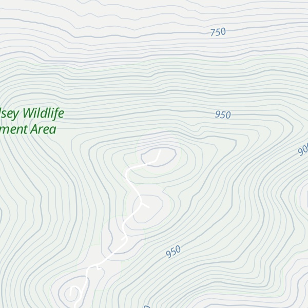
There's a trail called wind farm leading to the summit.
By elevation Mount Kelsey is
# 81 out of 311 in Coös County
By prominence Mount Kelsey is
# 16 out of 311 in Coös County # 62 out of 1985 in New Hampshire # 49 out of 844 in the White Mountains (New Hampshire)
We use GPS information embedded into the photo when it is available.
3D mountains overlay
Adjust mountain panorama to perfectly match your photos because recorded by camera photo position might be imprecise.
Move tool
Rotate tool
Zoom
More customization
Choose which peak labels should make into the final photo and what photo title should be.
Next
Photo Location
Satellitte
Flat map
Relief map
Latitude
Longitude
Altitude
OR
Latitude
°'''
Longitude
°'''
Apply
Register Peak
Peak Name
Latitude
Longitude
Altitude
Register
Teleport
PeakVisor
This 3D model of Sagarmatha National Park in Nepal was made using the PeakVisor app topographic data. The mobile app features higher precision models worldwide, more topographic details, and works offline. Download PeakVisor maps today.
Download OBJ model
PeakVisor
The download should start shortly. If you find it useful please consider supporting the PeakVisor app.
PeakVisor for iOS and Android
Be a superhero of outdoor navigation with state-of-the-art 3D maps and mountain identification in the palm of your hand!