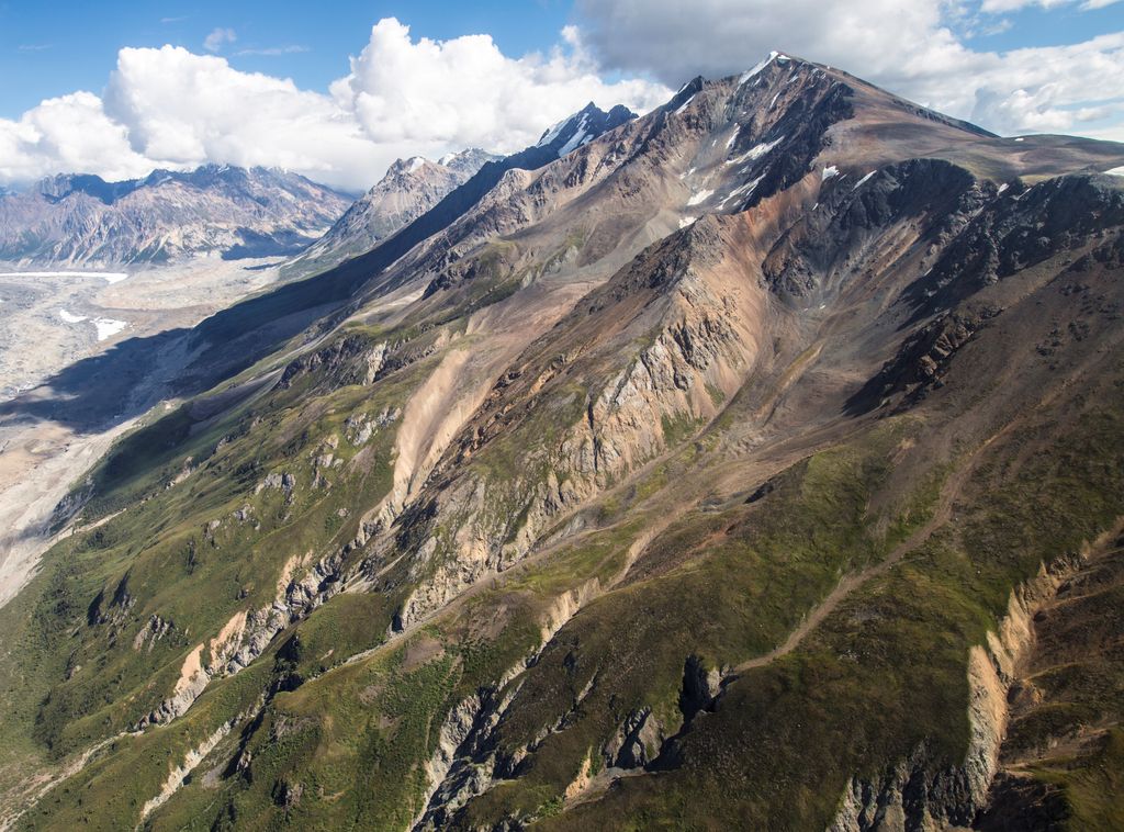
Mount Chitina is an 8,424-foot (2,568-meter) mountain summit located in the Saint Elias Mountains of Wrangell-St. Elias National Park and Preserve, in the U.S. state of Alaska. The remote peak is situated 113 mi (182 km) northwest of Yakutat, and 40 mi (64 km) northwest of Mount Logan. Mount Chitina rises 5,000+ ft (1,520+ m) above the confluence of the Chitina Glacier and the Logan Glacier. Precipitation runoff from the mountain drains into the Chitina River, which in turn is part of the Copper River drainage basin. The first ascent of the peak was made September 24, 1988, by Danny Kost and Donnie Hunton via the west ridge. The mountain's name is derived from the Chitina Glacier located at the base of the north slope, and was first published on a Canadian topographic map in 1958.
We use GPS information embedded into the photo when it is available.
3D mountains overlay
Adjust mountain panorama to perfectly match your photos because recorded by camera photo position might be imprecise.
Move tool
Rotate tool
Zoom
More customization
Choose which peak labels should make into the final photo and what photo title should be.
Next
Photo Location
Satellitte
Flat map
Relief map
Latitude
Longitude
Altitude
OR
Latitude
°'''
Longitude
°'''
Apply
Register Peak
Peak Name
Latitude
Longitude
Altitude
Register
Teleport
PeakVisor
This 3D model of Sagarmatha National Park in Nepal was made using the PeakVisor app topographic data. The mobile app features higher precision models worldwide, more topographic details, and works offline. Download PeakVisor maps today.
Download OBJ model
PeakVisor
The download should start shortly. If you find it useful please consider supporting the PeakVisor app.
PeakVisor for iOS and Android
Be a superhero of outdoor navigation with state-of-the-art 3D maps and mountain identification in the palm of your hand!