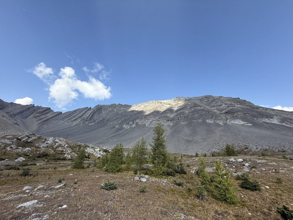
Mount Arethusa is a mountain located in the Canadian Rockies of Alberta, Canada.
It is located alongside Highway 40, immediately east of the Highwood Pass parking lot in Kananaskis Country, and is a part of the Misty Range of the Southern Continental Ranges. It is named after HMS Arethusa, a British cruiser sunk in the 1915 Battle of Dogger Bank.
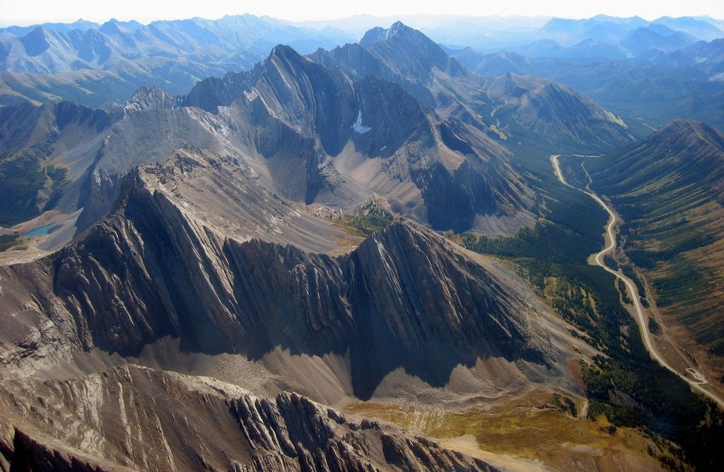
Mt. Arethusa and Little Arethusa form the southern wall of the Ptarmigan cirque which is a popular short hike from the Highwood Pass parking lot.
There's a trail called Mount Arethusa Route leading to the summit.
By elevation Mount Arethusa is
# 21 out of 88 in Elbow-Sheep Wildland Provincial Park # 41 out of 91 in Peter Lougheed Provincial Park # 71 out of 370 in Kananaskis Improvement District
By prominence Mount Arethusa is
# 42 out of 88 in Elbow-Sheep Wildland Provincial Park # 50 out of 91 in Peter Lougheed Provincial Park
We use GPS information embedded into the photo when it is available.
3D mountains overlay
Adjust mountain panorama to perfectly match your photos because recorded by camera photo position might be imprecise.
Move tool
Rotate tool
Zoom
More customization
Choose which peak labels should make into the final photo and what photo title should be.
Next
Photo Location
Satellitte
Flat map
Relief map
Latitude
Longitude
Altitude
OR
Latitude
°'''
Longitude
°'''
Apply
Register Peak
Peak Name
Latitude
Longitude
Altitude
Register
Teleport
PeakVisor
This 3D model of Sagarmatha National Park in Nepal was made using the PeakVisor app topographic data. The mobile app features higher precision models worldwide, more topographic details, and works offline. Download PeakVisor maps today.
Download OBJ model
PeakVisor
The download should start shortly. If you find it useful please consider supporting the PeakVisor app.
PeakVisor for iOS and Android
Be a superhero of outdoor navigation with state-of-the-art 3D maps and mountain identification in the palm of your hand!