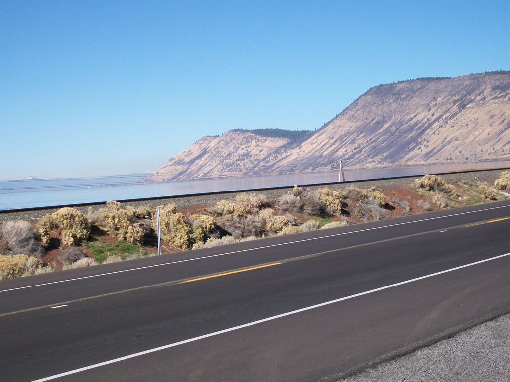
Modoc Point is a cliff on the east shore of Upper Klamath Lake, in Klamath County, Oregon, United States, approximately 15 miles north of Klamath Falls on U.S. Route 97. It is part of the larger cliff known as Modoc Rim or Modoc Ridge.
The point is named for the Modoc tribe of Native Americans because it was assigned to them when they moved on to the Klamath Reservation, following a treaty in 1864. This area was then part of the reservation. Captain Jack and his band lived in this area from December 31, 1869, to April 26, 1870. Due to continued harassment by the Klamath, the Modoc left the reservation to return to their traditional territory to the south on the Lost River in present-day California. This was before the Modoc War (1872-1873).
Klamath folklore frequently features this location; they called it Kiuti or Muyant. It was also called Nilakla, meaning "dawn" or "sunrise". William G. Steel stated that the point was known as Nilakla, the Klamath word for "dawn" or "sunrise".
Modoc Point was the namesake for a railroad station and post office just north of the point.
We use GPS information embedded into the photo when it is available.
3D mountains overlay
Adjust mountain panorama to perfectly match your photos because recorded by camera photo position might be imprecise.
Move tool
Rotate tool
Zoom
More customization
Choose which peak labels should make into the final photo and what photo title should be.
Next
Photo Location
Satellitte
Flat map
Relief map
Latitude
Longitude
Altitude
OR
Latitude
°'''
Longitude
°'''
Apply
Register Peak
Peak Name
Latitude
Longitude
Altitude
Register
Teleport
PeakVisor
This 3D model of Sagarmatha National Park in Nepal was made using the PeakVisor app topographic data. The mobile app features higher precision models worldwide, more topographic details, and works offline. Download PeakVisor maps today.
Download OBJ model
PeakVisor
The download should start shortly. If you find it useful please consider supporting the PeakVisor app.
PeakVisor for iOS and Android
Be a superhero of outdoor navigation with state-of-the-art 3D maps and mountain identification in the palm of your hand!