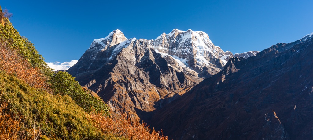
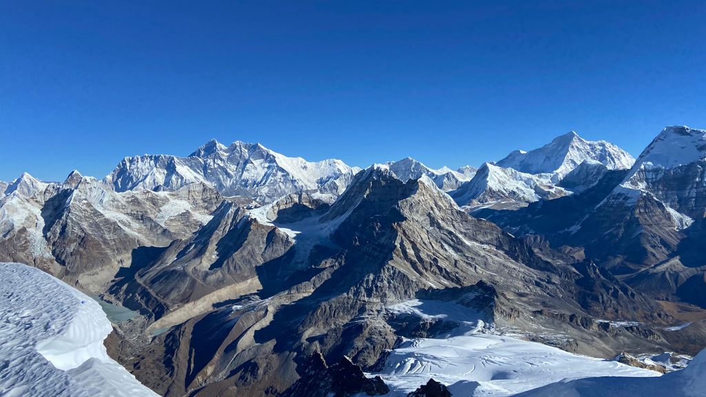
Mera Peak is a mountain in the Mahalangur section, Barun sub-section of the Himalaya and administratively in Nepal's Sagarmatha Zone, Sankhuwasabha. At 6,476 metres (21,247 ft) it is classified as a trekking peak. It contains three main summits: Mera North, 6,476 metres (21,247 ft); Mera Central, 6,461 metres (21,198 ft); and Mera South, 6,065 metres (19,898 ft), as well as a smaller "trekking summit", visible as a distinct summit from the south but not marked on most maps of the region.
The height of Mera is often given as 6,654 metres (21,831 ft), and claimed to be the highest trekking peak. This figure actually points to nearby Peak 41, which was mistakenly named Mera in a list of Himalayan peaks, and the figures were copied to the official trekking peak list as they were, including the wrong location coordinates.
By elevation Mera Peak is
# 10 out of 13 in Makalu-Barun National Park # 65 out of 212 in Eastern Development Region # 47 out of 99 in Solukhumbu
By prominence Mera Peak is
# 3 out of 13 in Makalu-Barun National Park # 46 out of 866 in Nepal # 16 out of 212 in Eastern Development Region # 11 out of 99 in Solukhumbu
We use GPS information embedded into the photo when it is available.
3D mountains overlay
Adjust mountain panorama to perfectly match your photos because recorded by camera photo position might be imprecise.
Move tool
Rotate tool
Zoom
More customization
Choose which peak labels should make into the final photo and what photo title should be.
Next
Photo Location
Satellitte
Flat map
Relief map
Latitude
Longitude
Altitude
OR
Latitude
°'''
Longitude
°'''
Apply
Register Peak
Peak Name
Latitude
Longitude
Altitude
Register
Teleport
PeakVisor
This 3D model of Sagarmatha National Park in Nepal was made using the PeakVisor app topographic data. The mobile app features higher precision models worldwide, more topographic details, and works offline. Download PeakVisor maps today.
Download OBJ model
PeakVisor
The download should start shortly. If you find it useful please consider supporting the PeakVisor app.
PeakVisor for iOS and Android
Be a superhero of outdoor navigation with state-of-the-art 3D maps and mountain identification in the palm of your hand!