Malminkartanonhuippu (English: Malminkartano Hill, Swedish: Malmgårdstoppen) is an artificial hill in the district of Malminkartano in Helsinki, Finland. It is located near to the Vihti Road and the Myyrmäki district of Vantaa. With a height of approximately 90 meters above sea level, it is the highest point in the city of Helsinki. The view from the top gives an uninterrupted 360° panorama in all directions, for those who have climbed the 426 steps.
One face of the hill includes a giant arrow-shaped artwork pointing upwards and several hundred metres in length.
Nicknames include "Täyttömäki" (filling hill) Jätemäki ("dump hill") and Jättäri ("leftovers"). All of these slang terms derive from the site's past use as a municipal landfill site, between the years of 1976–1996. It contains mostly construction waste such as sand, bricks, stones, concrete etc.
The hill is commonly used, during the summer months, as a mini downhill mountain bike track, and has a reasonably aggressive set of turns and jumps for those prepared to climb the hill. It's also a fairly well used exercise area for joggers, and an excellent slope for sledding in the winter.
In 2017, and again in 2021 a professional piano moving company carried a 200-kilogram (440 lb) instrument up the steps to the top of the hill. In between the two attempts the wooden steps had been renewed.
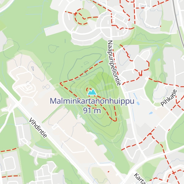
There's a trail leading to the summit. Malminkartanonhuippu is one of the 1 peaks along the Malminkartanon kotikaupunkipolku.
By elevation Malminkartanonhuippu is
# 43 out of 238 in Uusimaa
By prominence Malminkartanonhuippu is
# 5 out of 238 in Uusimaa # 34 out of 1284 in Southern Finland
We use GPS information embedded into the photo when it is available.
3D mountains overlay
Adjust mountain panorama to perfectly match your photos because recorded by camera photo position might be imprecise.
Move tool
Rotate tool
Zoom
More customization
Choose which peak labels should make into the final photo and what photo title should be.
Next
Photo Location
Satellitte
Flat map
Relief map
Latitude
Longitude
Altitude
OR
Latitude
°'''
Longitude
°'''
Apply
Register Peak
Peak Name
Latitude
Longitude
Altitude
Register
Teleport
PeakVisor
This 3D model of Sagarmatha National Park in Nepal was made using the PeakVisor app topographic data. The mobile app features higher precision models worldwide, more topographic details, and works offline. Download PeakVisor maps today.
Download OBJ model
PeakVisor
The download should start shortly. If you find it useful please consider supporting the PeakVisor app.
PeakVisor for iOS and Android
Be a superhero of outdoor navigation with state-of-the-art 3D maps and mountain identification in the palm of your hand!