Ma On Shan (Chinese: 馬鞍山; lit. 'Horse Saddle Peak') is a saddle-shaped peak in east of Tolo Harbour in the New Territories of Hong Kong. With a height of 702 metres (2,303 ft), it stands among the ten highest mountains in Hong Kong. The mountain borders Sha Tin and Tai Po districts.
Beneath the west face of the mountain along Tolo Harbour, the Ma On Shan new town extension, administratively part of Sha Tin, is named after the hill. It ends north in Wu Kai Sha.
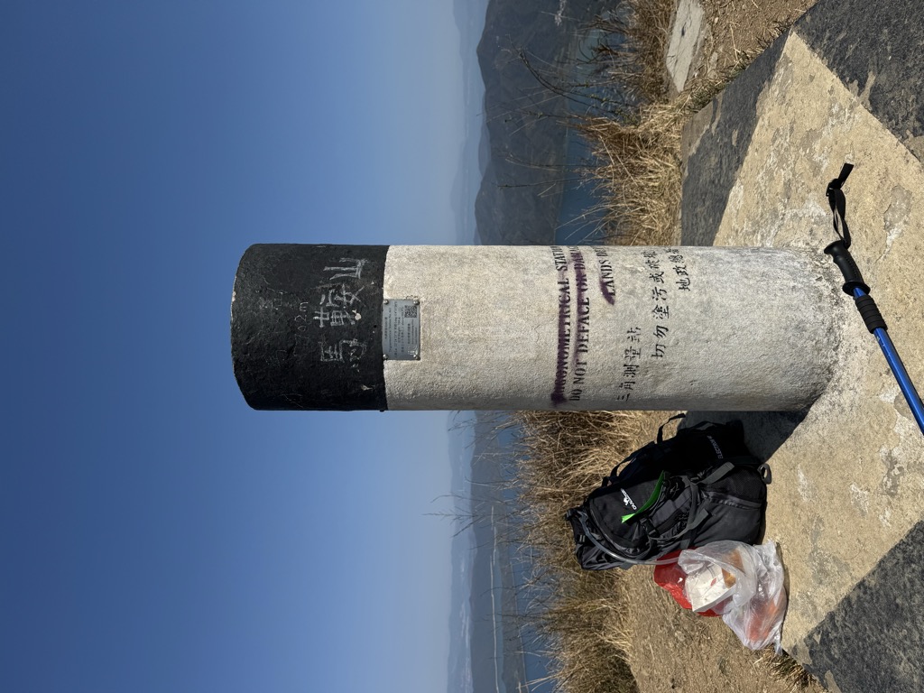
There's a trail leading to the summit.
By elevation Ma On Shan is
# 1 out of 32 in Ma On Shan Country Park # 1 out of 42 in Sha Tin District # 2 out of 101 in Tai Po District
By prominence Ma On Shan is
# 1 out of 32 in Ma On Shan Country Park # 1 out of 42 in Sha Tin District # 2 out of 101 in Tai Po District
We use GPS information embedded into the photo when it is available.
3D mountains overlay
Adjust mountain panorama to perfectly match your photos because recorded by camera photo position might be imprecise.
Move tool
Rotate tool
Zoom
More customization
Choose which peak labels should make into the final photo and what photo title should be.
Next
Photo Location
Satellitte
Flat map
Relief map
Latitude
Longitude
Altitude
OR
Latitude
°'''
Longitude
°'''
Apply
Register Peak
Peak Name
Latitude
Longitude
Altitude
Register
Teleport
PeakVisor
This 3D model of Sagarmatha National Park in Nepal was made using the PeakVisor app topographic data. The mobile app features higher precision models worldwide, more topographic details, and works offline. Download PeakVisor maps today.
Download OBJ model
PeakVisor
The download should start shortly. If you find it useful please consider supporting the PeakVisor app.
PeakVisor for iOS and Android
Be a superhero of outdoor navigation with state-of-the-art 3D maps and mountain identification in the palm of your hand!