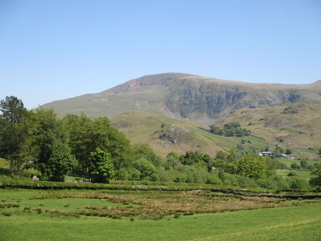
Low Rigg is a small hill located in the English Lake District a few miles east of the town of Keswick and slightly to the north of its larger neighbour High Rigg. It is a hill of modest elevation, being of insufficient size to merit inclusion in the famous Lake District guides produced by Alfred Wainwright. However, its position affords excellent views of the surrounding mountains such as Blencathra and Clough Head.
Geologically, Low Rigg is a lens-shaped laccolith consisting of an intrusion of a fine-grained granite.
The hill may be climbed in a short walk from either the Naddle Valley or St John's in the Vale. Low Rigg also possesses a feature not present on its larger neighbour, a body of water of reasonable size known as Tewet Tarn.
There's a trail leading to the summit.
The nearest mountain hut is Causeway Foot located 1 148m/3 766ft WSW of the summit.
We use GPS information embedded into the photo when it is available.
3D mountains overlay
Adjust mountain panorama to perfectly match your photos because recorded by camera photo position might be imprecise.
Move tool
Rotate tool
Zoom
More customization
Choose which peak labels should make into the final photo and what photo title should be.
Next
Photo Location
Satellitte
Flat map
Relief map
Latitude
Longitude
Altitude
OR
Latitude
°'''
Longitude
°'''
Apply
Register Peak
Peak Name
Latitude
Longitude
Altitude
Register
Teleport
PeakVisor
This 3D model of Sagarmatha National Park in Nepal was made using the PeakVisor app topographic data. The mobile app features higher precision models worldwide, more topographic details, and works offline. Download PeakVisor maps today.
Download OBJ model
PeakVisor
The download should start shortly. If you find it useful please consider supporting the PeakVisor app.
PeakVisor for iOS and Android
Be a superhero of outdoor navigation with state-of-the-art 3D maps and mountain identification in the palm of your hand!