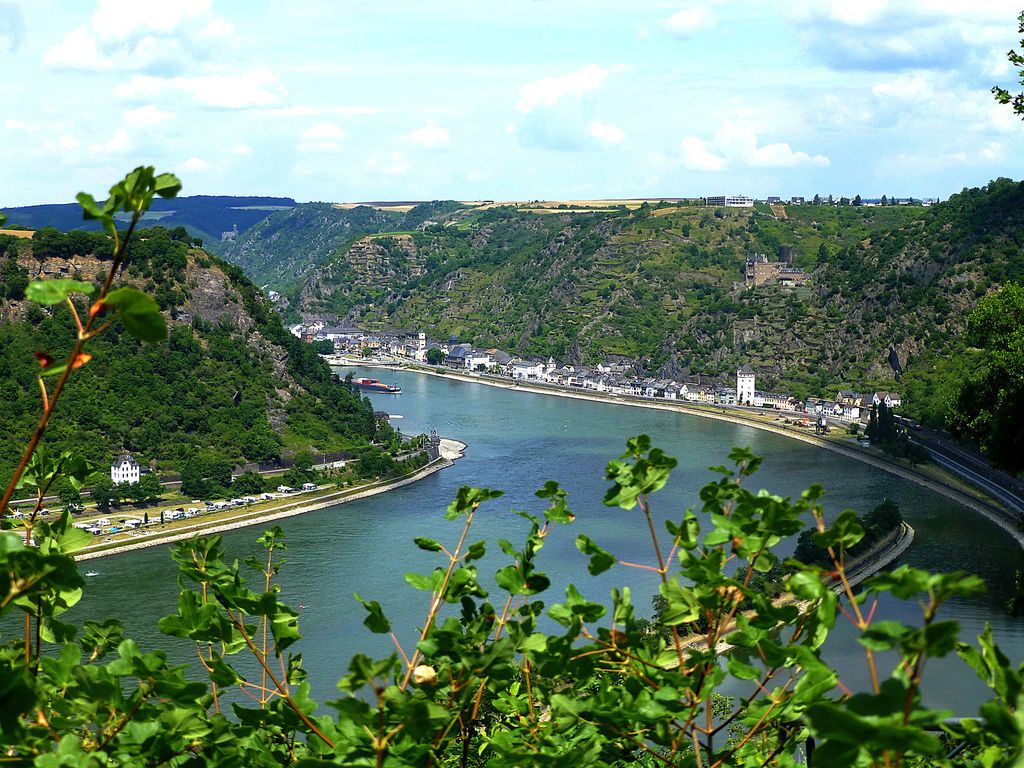
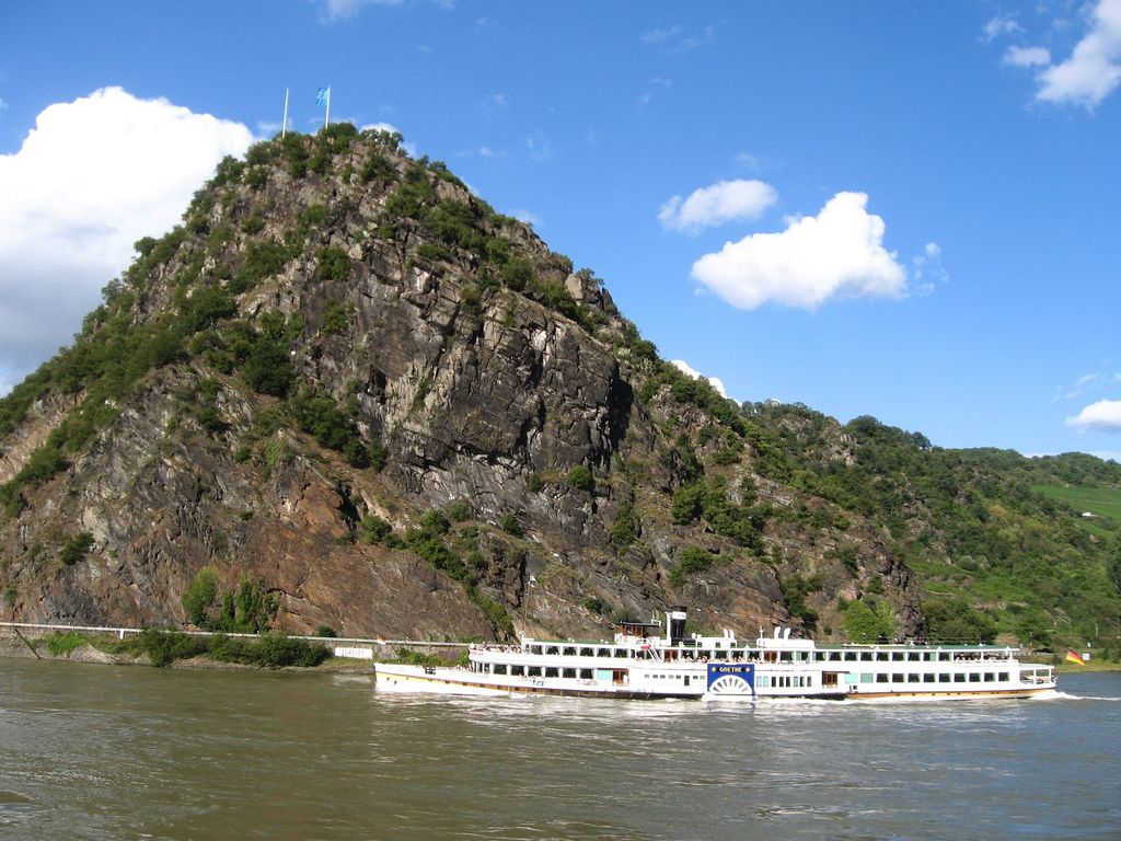
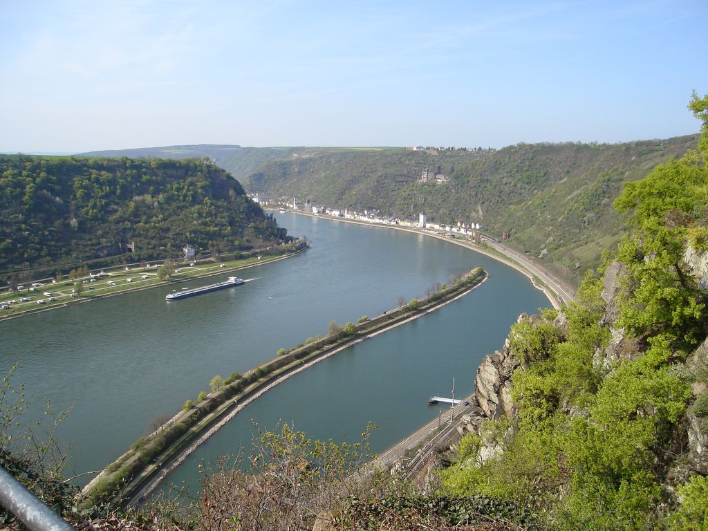
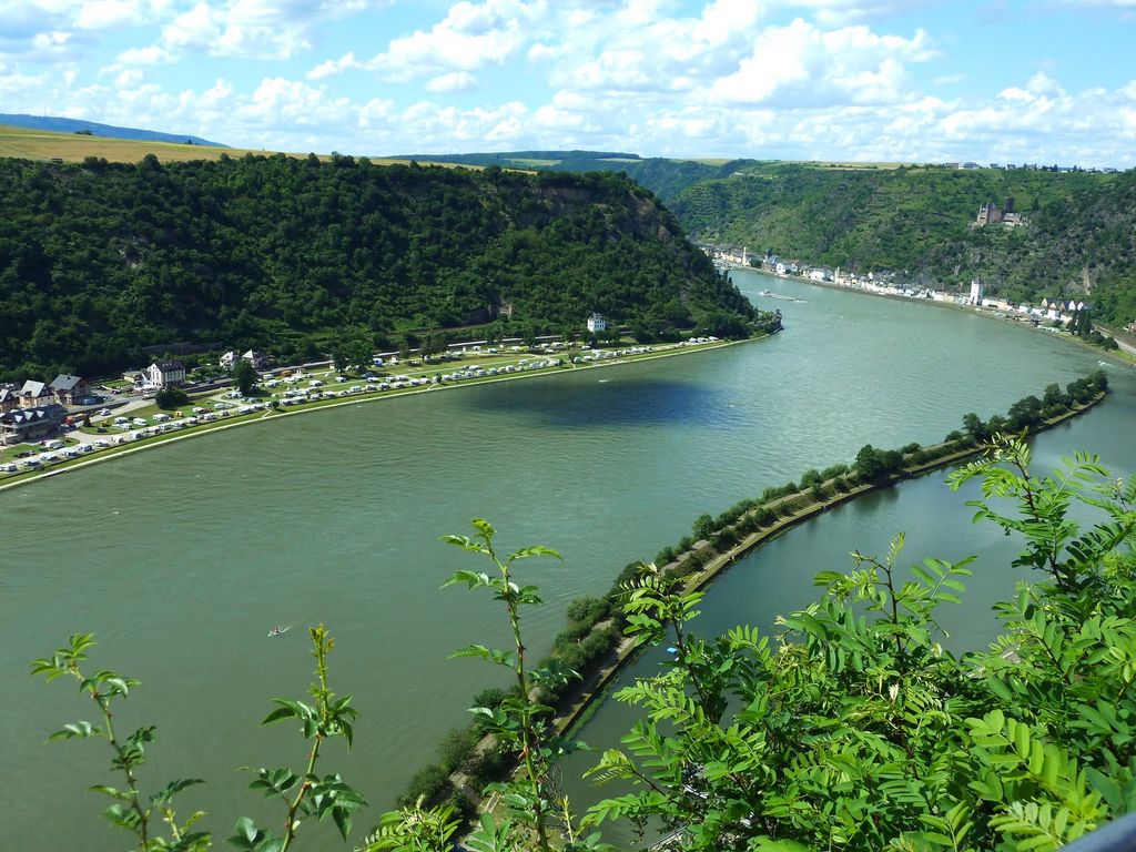
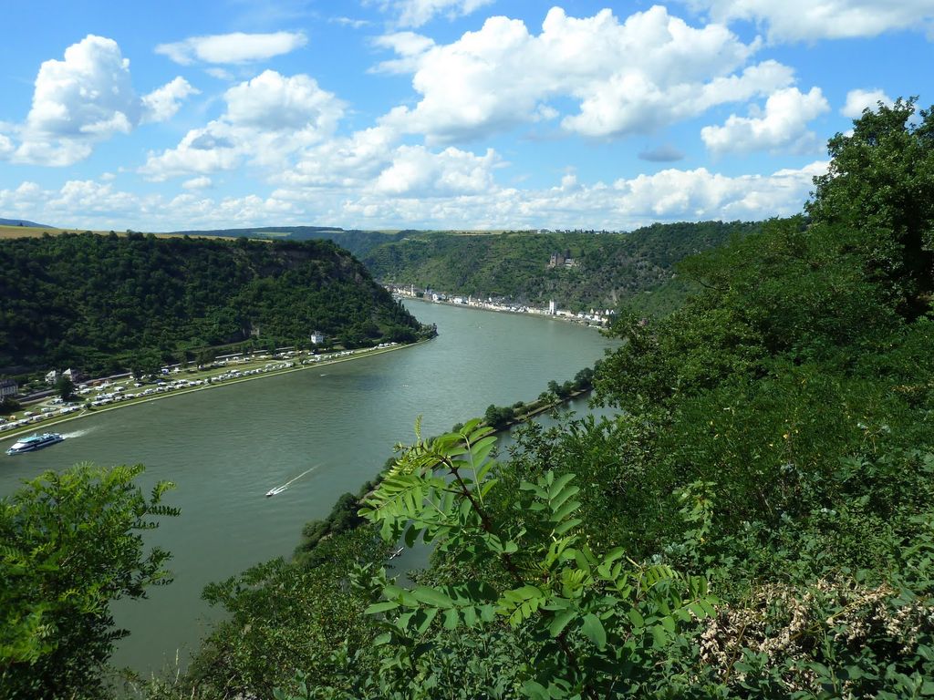
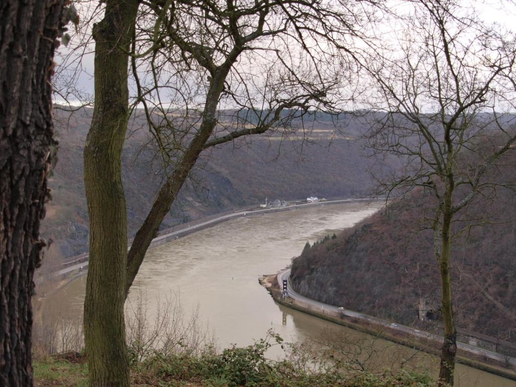
The Lorelei ( LORR-ə-ly; German: Loreley or Lorelei, pronounced [loːʁəˈlaɪ̯] or [ˈloːʁəlaɪ̯]; also found as Loreleï, Lore Lay, Lore-Ley, Lurley, Lurelei and Lurlei throughout history) is a 132-metre-high (433 ft), steep slate rock on the right bank of the River Rhine in the Rhine Gorge (or Middle Rhine) at Sankt Goarshausen in Germany, part of the Upper Middle Rhine Valley UNESCO World Heritage Site. The 1930s Loreley Amphitheatre is on top of the rock.
It has been an infamous maritime disaster site since its first records during the 10th century, with a varied mythos, ranging from dwarfs to a siren trying to explain the high number of ship wrecks and the loud echo inside the passage.
There's a trail called Felsspalte leading to the summit. Loreley is one of the 13 peaks along the multi-day Rheinsteig und Zugangswege.
The nearest mountain hut is Seelenbachhütte located 1 037m/3 404ft W of the summit.
By elevation Loreley is
# 4 out of 4 in Rheinhänge Kaub bis St. Goarshausen # 87 out of 88 in Rhein-Hunsrück-Kreis
By prominence Loreley is
# 63 out of 158 in UNESCO Welterbe Kulturlandschaft Oberes Mittelrheintal # 1 out of 4 in Rheinhänge Kaub bis St. Goarshausen # 86 out of 190 in Rhein-Lahn-Kreis # 51 out of 88 in Rhein-Hunsrück-Kreis
We use GPS information embedded into the photo when it is available.
3D mountains overlay
Adjust mountain panorama to perfectly match your photos because recorded by camera photo position might be imprecise.
Move tool
Rotate tool
Zoom
More customization
Choose which peak labels should make into the final photo and what photo title should be.
Next
Photo Location
Satellitte
Flat map
Relief map
Latitude
Longitude
Altitude
OR
Latitude
°'''
Longitude
°'''
Apply
Register Peak
Peak Name
Latitude
Longitude
Altitude
Register
Teleport
PeakVisor
This 3D model of Sagarmatha National Park in Nepal was made using the PeakVisor app topographic data. The mobile app features higher precision models worldwide, more topographic details, and works offline. Download PeakVisor maps today.
Download OBJ model
PeakVisor
The download should start shortly. If you find it useful please consider supporting the PeakVisor app.
PeakVisor for iOS and Android
Be a superhero of outdoor navigation with state-of-the-art 3D maps and mountain identification in the palm of your hand!


.jpg)
.jpg)
.jpg)
.jpg)