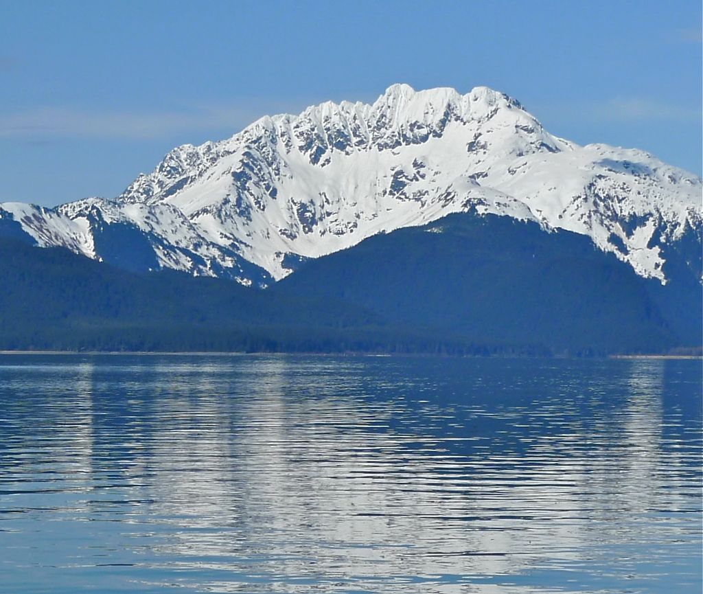
Lions Head Mountain is a 5,400+ ft (1,650+ m) mountain summit located in the Boundary Ranges of the Coast Mountains, in the U.S. state of Alaska. The peak is situated in the Kakuhan Range, 46 mi (74 km) northwest of Juneau, and 3 mi (5 km) east of Lynn Canal, on land managed by Tongass National Forest. Although modest in elevation, relief is significant since Lions Head Mountain rises 5,400 feet above the Berners River Valley in less than three miles. The peak's descriptive name was applied in 1867 by George Davidson, geographer with the United States Coast Survey, because its serrated profile resembles a lion couchant. This name was published in the 1869 Coast Pilot, and officially adopted in 1929 by the U.S. Board on Geographic Names.
We use GPS information embedded into the photo when it is available.
3D mountains overlay
Adjust mountain panorama to perfectly match your photos because recorded by camera photo position might be imprecise.
Move tool
Rotate tool
Zoom
More customization
Choose which peak labels should make into the final photo and what photo title should be.
Next
Photo Location
Satellitte
Flat map
Relief map
Latitude
Longitude
Altitude
OR
Latitude
°'''
Longitude
°'''
Apply
Register Peak
Peak Name
Latitude
Longitude
Altitude
Register
Teleport
PeakVisor
This 3D model of Sagarmatha National Park in Nepal was made using the PeakVisor app topographic data. The mobile app features higher precision models worldwide, more topographic details, and works offline. Download PeakVisor maps today.
Download OBJ model
PeakVisor
The download should start shortly. If you find it useful please consider supporting the PeakVisor app.
PeakVisor for iOS and Android
Be a superhero of outdoor navigation with state-of-the-art 3D maps and mountain identification in the palm of your hand!