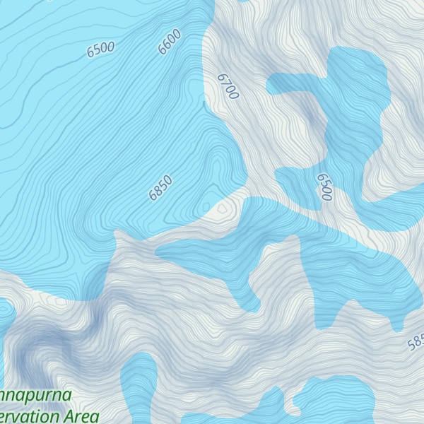
Lamjung Himal also known as Lamjing Kailas is a mountain located in Gandaki Province, Nepal at an elevation of 6,983 metres (22,910 ft). A subpeak of Annapurna II, Lamjung Himal is the southeasternmost mountain in the Annapurna range. It was first climbed in 1974 by Derrick Chamberlain and Phillip Neame.
By elevation Lamjung Himal is
# 83 out of 866 in Nepal # 18 out of 119 in Annapurna Conservation Area # 37 out of 216 in Western Development Region # 12 out of 23 in Kaski # 13 out of 53 in Manang
By prominence Lamjung Himal is
# 28 out of 119 in Annapurna Conservation Area # 54 out of 216 in Western Development Region # 8 out of 23 in Kaski # 19 out of 53 in Manang
We use GPS information embedded into the photo when it is available.
3D mountains overlay
Adjust mountain panorama to perfectly match your photos because recorded by camera photo position might be imprecise.
Move tool
Rotate tool
Zoom
More customization
Choose which peak labels should make into the final photo and what photo title should be.
Next
Photo Location
Satellitte
Flat map
Relief map
Latitude
Longitude
Altitude
OR
Latitude
°'''
Longitude
°'''
Apply
Register Peak
Peak Name
Latitude
Longitude
Altitude
Register
Teleport
PeakVisor
This 3D model of Sagarmatha National Park in Nepal was made using the PeakVisor app topographic data. The mobile app features higher precision models worldwide, more topographic details, and works offline. Download PeakVisor maps today.
Download OBJ model
PeakVisor
The download should start shortly. If you find it useful please consider supporting the PeakVisor app.
PeakVisor for iOS and Android
Be a superhero of outdoor navigation with state-of-the-art 3D maps and mountain identification in the palm of your hand!