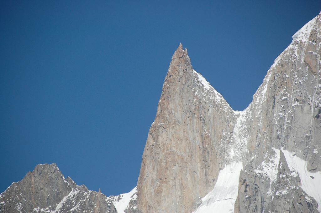
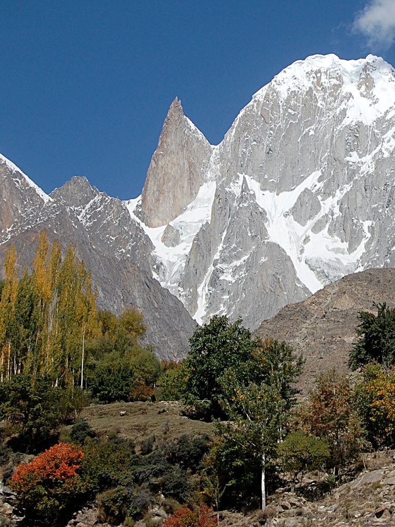
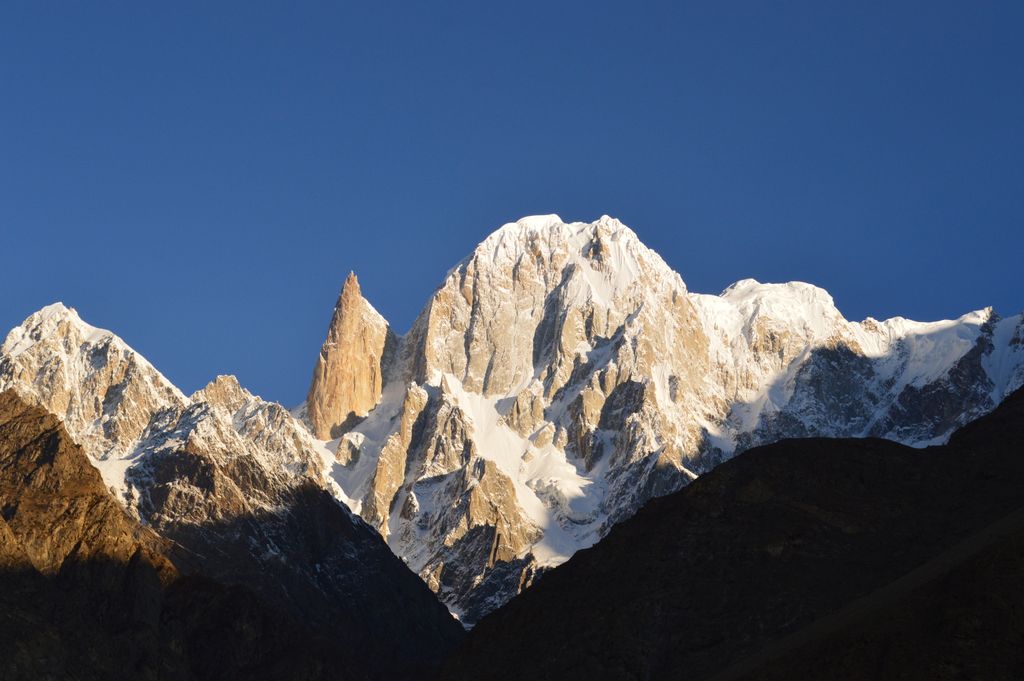
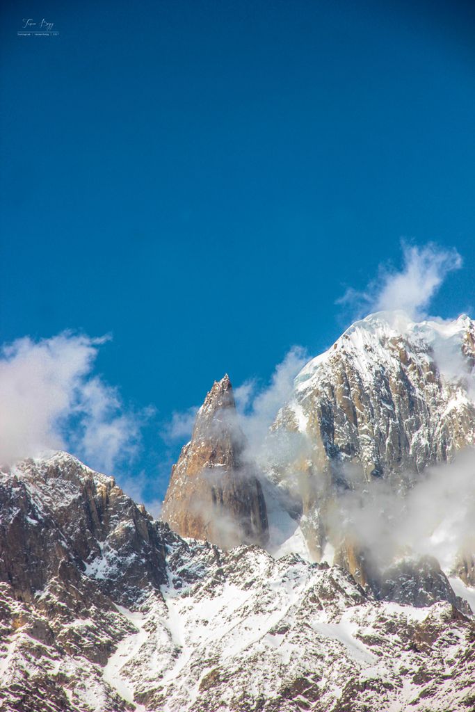
The Bublimotin, Bubli Motin, Bublimating or Ladyfinger Peak (Urdu: لیڈی فنگر), is a distinctive rock spire in the Batura Muztagh, the westernmost subrange of the Karakoram range in Pakistan. It lies on the southwest ridge of the Ultar Sar massif, the most southeasterly of the major groups of the Batura Muztagh. The whole massif rises precipitously above the Hunza Valley to the southeast.
Bublimotin is a sharp, relatively snowless, rock spire among the nearby peaks, although it has little prominence above the saddle with nearby Hunza Peak. It provides a 6,000 metres (20,000 ft) rock climb (with a very serious alpine approach) and has been the scene of some notable paragliding.
An interesting folk tale about the peak (Bubli mo Ting literally means 'Bubli's peak) is that Kisar, a (magical) prince from Baltistan, came to Hunza on one of his adventures and married a princess, a gas, called Bubli. When he received news that his first wife in Baltistan, Langabrumo, had been kidnapped (by a phut or a deu, one story says, but according to Lorimer's book it is a king from another country), he immediately made preparations to set off and rescue her. He took Bubli up to this mountain, (later named after her), and handed her a sack of grain as well as a hen or chicken (a qarqamuts). She must have asked whether – and when – he would be back and he told her: "Every year give this chicken a single grain to eat. When the sack is empty, I will return. Until that time, stay here." He left, and, they say, Bubli is waiting there still.
We use GPS information embedded into the photo when it is available.
3D mountains overlay
Adjust mountain panorama to perfectly match your photos because recorded by camera photo position might be imprecise.
Move tool
Rotate tool
Zoom
More customization
Choose which peak labels should make into the final photo and what photo title should be.
Next
Photo Location
Satellitte
Flat map
Relief map
Latitude
Longitude
Altitude
OR
Latitude
°'''
Longitude
°'''
Apply
Register Peak
Peak Name
Latitude
Longitude
Altitude
Register
Teleport
PeakVisor
This 3D model of Sagarmatha National Park in Nepal was made using the PeakVisor app topographic data. The mobile app features higher precision models worldwide, more topographic details, and works offline. Download PeakVisor maps today.
Download OBJ model
PeakVisor
The download should start shortly. If you find it useful please consider supporting the PeakVisor app.
PeakVisor for iOS and Android
Be a superhero of outdoor navigation with state-of-the-art 3D maps and mountain identification in the palm of your hand!