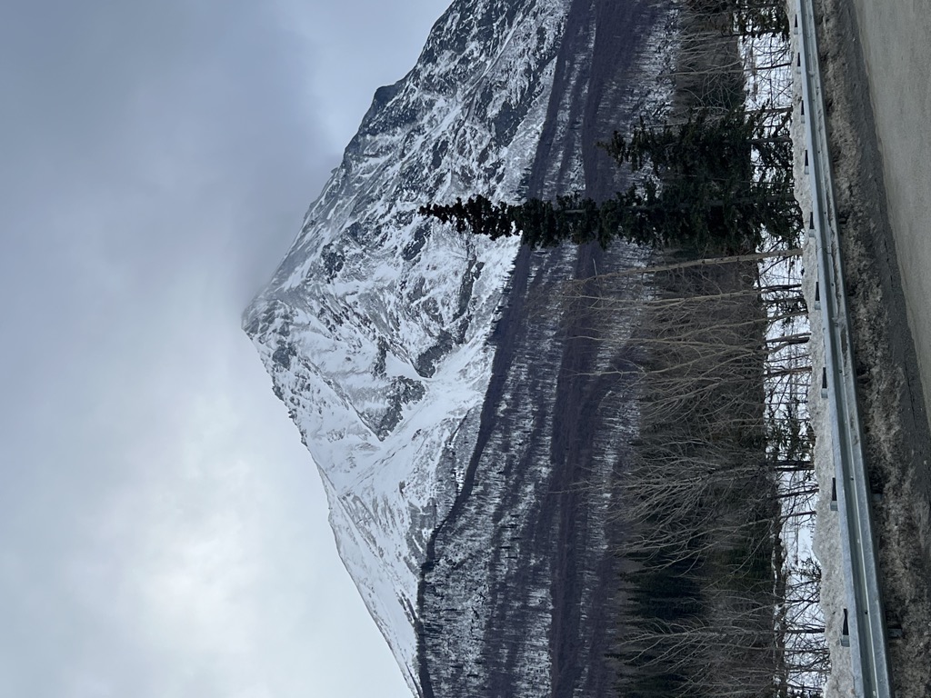
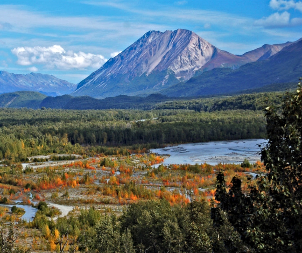
Kings Mountain, also commonly called King Mountain, is a prominent 5,809-foot (1,771 m) elevation mountain summit located 22 mi (35 km) northeast of Palmer, in the northwestern Chugach Mountains of the U.S. state of Alaska. This landmark of the Matanuska Valley is set between Anchorage and Glennallen, at mile 75 of the Glenn Highway. It is situated 18 mi (29 km) west of Amulet Peak, and 12 mi (19 km) east-southeast of Granite Peak. The mountain was named after Al King, a prospector who had a cabin nearby at the confluence of Kings River and Matanuska River. The name was used by prospectors, reported about 1905 by the U.S. Geological Survey, and officially adopted in 1906 by the U.S. Board on Geographic Names. This peak is known as Bashtl'ech' in the Denaʼina language, and Bes Tl'ets' in the Ahtna language, meaning "black stone".
We use GPS information embedded into the photo when it is available.
3D mountains overlay
Adjust mountain panorama to perfectly match your photos because recorded by camera photo position might be imprecise.
Move tool
Rotate tool
Zoom
More customization
Choose which peak labels should make into the final photo and what photo title should be.
Next
Photo Location
Satellitte
Flat map
Relief map
Latitude
Longitude
Altitude
OR
Latitude
°'''
Longitude
°'''
Apply
Register Peak
Peak Name
Latitude
Longitude
Altitude
Register
Teleport
PeakVisor
This 3D model of Sagarmatha National Park in Nepal was made using the PeakVisor app topographic data. The mobile app features higher precision models worldwide, more topographic details, and works offline. Download PeakVisor maps today.
Download OBJ model
PeakVisor
The download should start shortly. If you find it useful please consider supporting the PeakVisor app.
PeakVisor for iOS and Android
Be a superhero of outdoor navigation with state-of-the-art 3D maps and mountain identification in the palm of your hand!