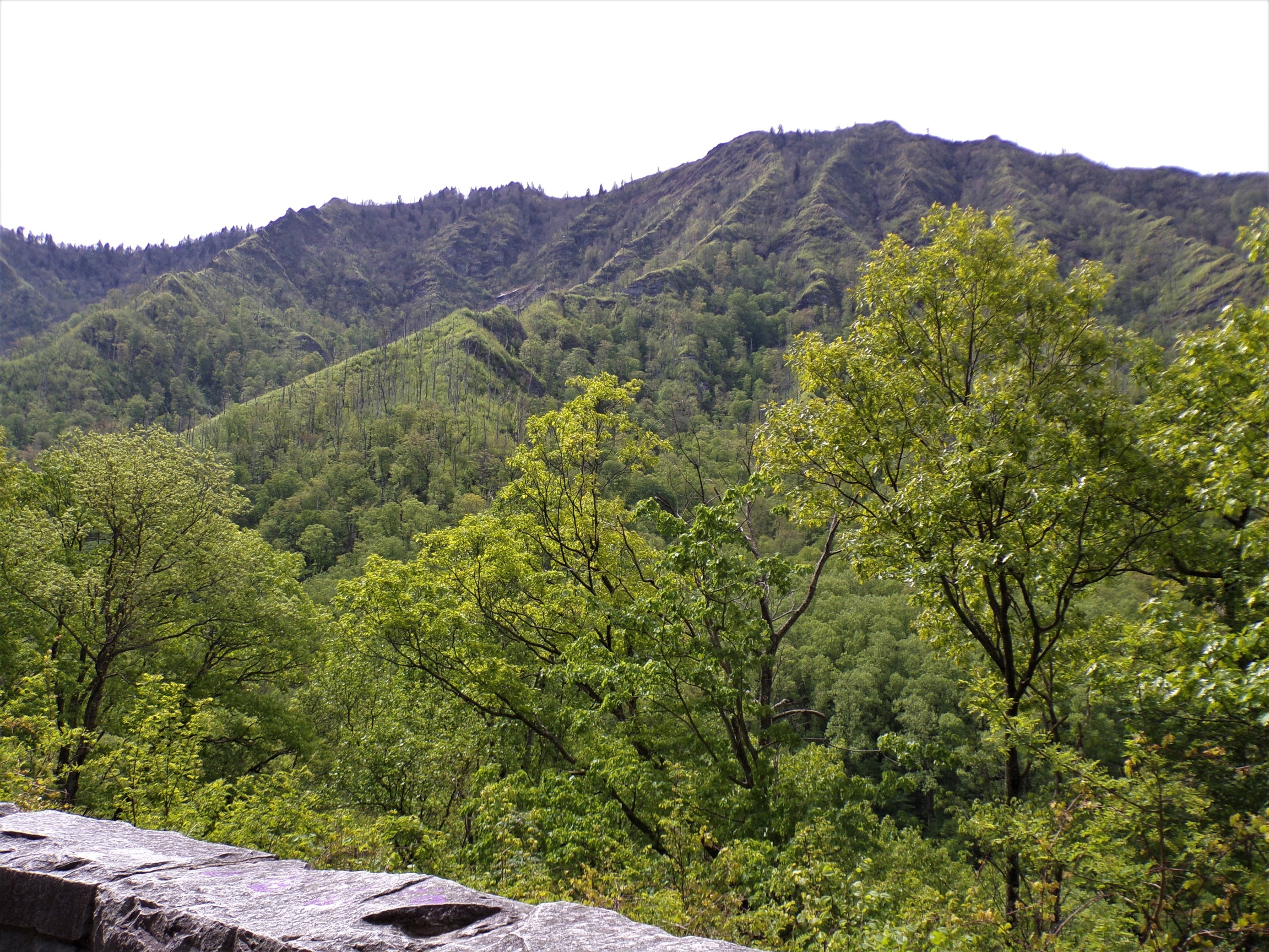
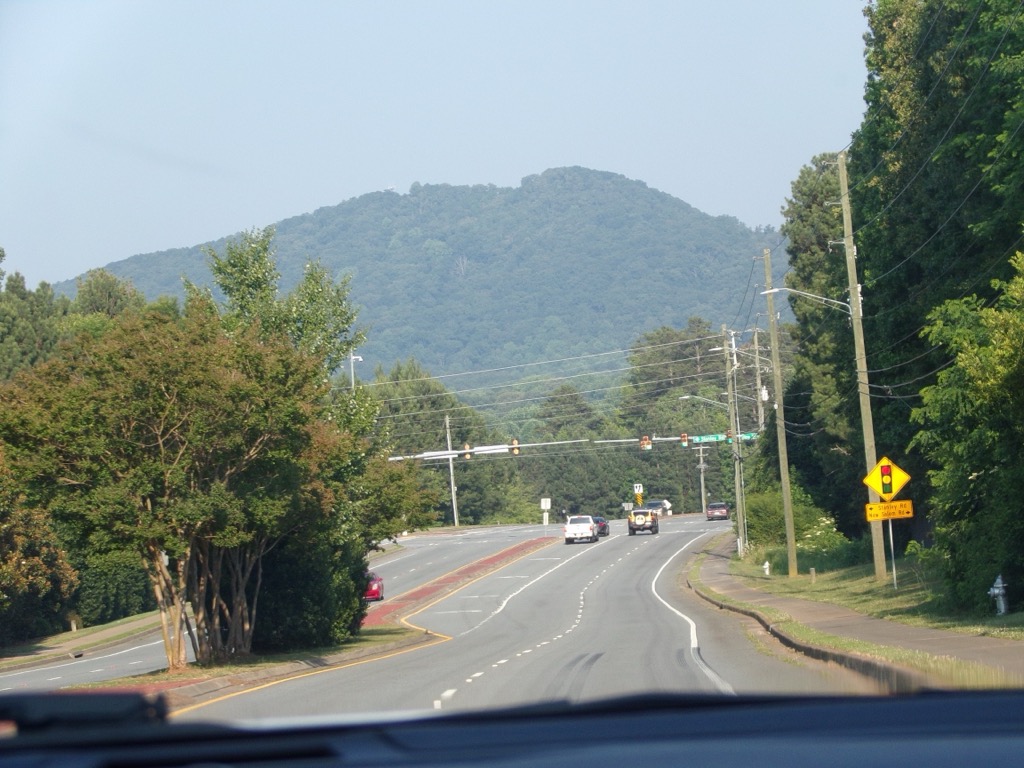
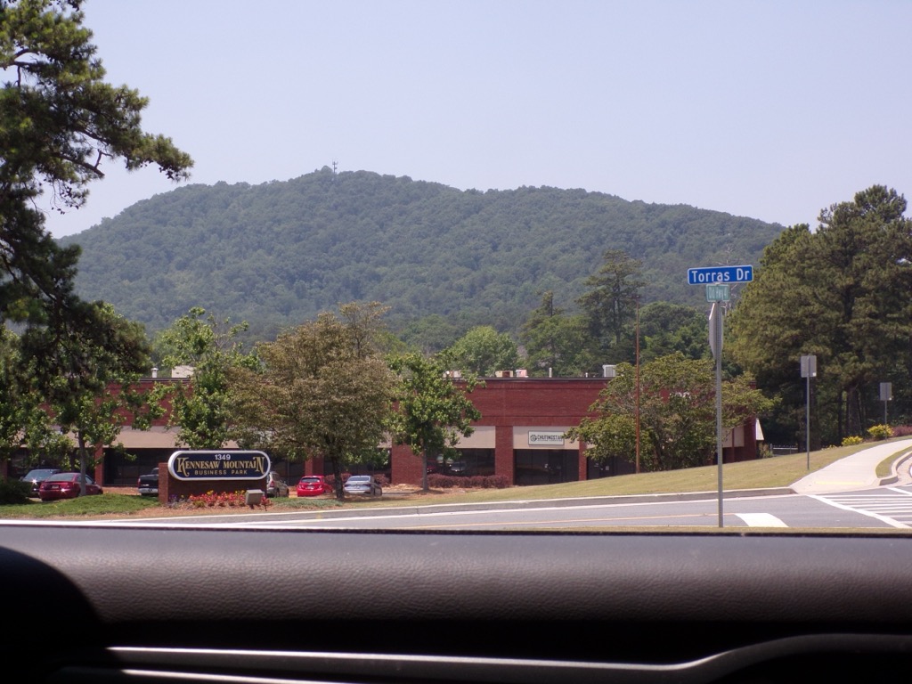
Kennesaw Mountain is a mountain between Marietta and Kennesaw, Georgia in the United States with a summit elevation of 1,808 feet (551 m). It is the highest point in the core (urban and suburban) metro Atlanta area, and fifth after further-north exurban counties are considered. The local terrain averages roughly 1,000 feet (300 m) AMSL.
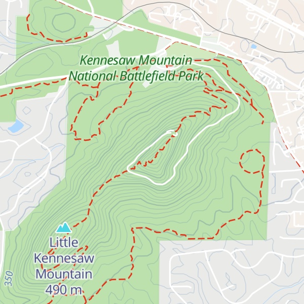
The mountain actually has two summits:
"Big Kennesaw", where the modern-day parking area and scenic overlook are located
Little Kennesaw Mountain, where several light hiking trails and nature areas connect the mountains to the rest of the park
There's a trail called Little Kennesaw Trail leading to the summit.
By elevation Kennesaw Mountain is
# 1 out of 9 in Cobb County # 1 out of 4 in Kennesaw Mountain National Battlefield Park
By prominence Kennesaw Mountain is
# 1 out of 9 in Cobb County # 1 out of 4 in Kennesaw Mountain National Battlefield Park # 47 out of 1369 in Georgia
We use GPS information embedded into the photo when it is available.
3D mountains overlay
Adjust mountain panorama to perfectly match your photos because recorded by camera photo position might be imprecise.
Move tool
Rotate tool
Zoom
More customization
Choose which peak labels should make into the final photo and what photo title should be.
Next
Photo Location
Satellitte
Flat map
Relief map
Latitude
Longitude
Altitude
OR
Latitude
°'''
Longitude
°'''
Apply
Register Peak
Peak Name
Latitude
Longitude
Altitude
Register
Teleport
PeakVisor
This 3D model of Sagarmatha National Park in Nepal was made using the PeakVisor app topographic data. The mobile app features higher precision models worldwide, more topographic details, and works offline. Download PeakVisor maps today.
Download OBJ model
PeakVisor
The download should start shortly. If you find it useful please consider supporting the PeakVisor app.
PeakVisor for iOS and Android
Be a superhero of outdoor navigation with state-of-the-art 3D maps and mountain identification in the palm of your hand!