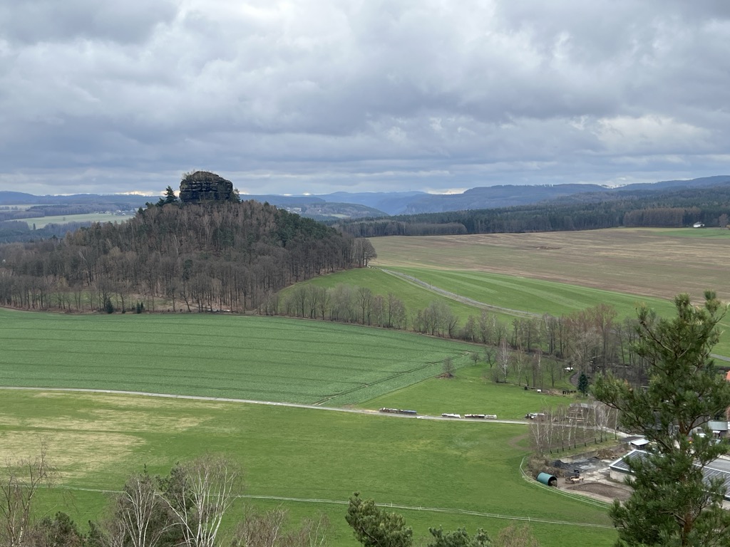
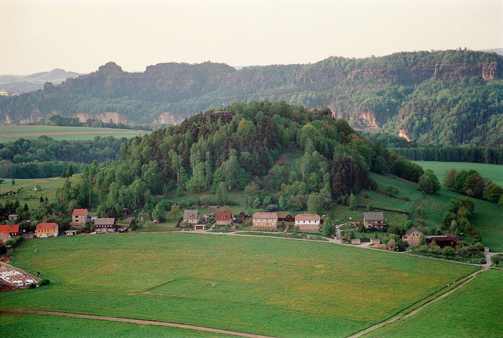
The Kaiserkrone is a heavily abraded and jagged remains of a table hill that, together with the Zirkelstein, rises above the level plain of Schöna, immediately on the outskirts of the village in the Elbe Sandstone Mountains in the German state of Saxony.
The name "Kaiserkrone" means "imperial crown" and is derived from its appearance. The three points of the crown, each of which may be climbed, are part of the large sandstone step known as "c3", from the Upper Turonian stage, and were left behind as the wide rock crevices between them were formed. Mankind has also been involved in the formation and/or destruction of the plateau which is 350.8 m above NN. At the southern end of the rocks, two lions have been carved by unknown artists.
At the beginning of the 19th century the Kaiserkrone was also known by other names like the Kahlstein, Zahnstein or Kronenberg. Even older designations are Galitzstein (end of the 16th century), Golzenstein (end of the 18th century) and Gollstein (early 19th century).
At the southern foot of the Kaiserkrone there are several sandstone rocks of unusual shape that were rediscovered in the sketch book of Caspar David Friedrich, which he drew during a visit to the Kaiserkrone and later used as the undercoat for his painting Der Wanderer über dem Nebelmeer.
There's a trail leading to the summit.
By prominence Kaiserkrone is
# 94 out of 4164 in Saxony # 29 out of 1858 in Sächsische Schweiz-Osterzgebirge
We use GPS information embedded into the photo when it is available.
3D mountains overlay
Adjust mountain panorama to perfectly match your photos because recorded by camera photo position might be imprecise.
Move tool
Rotate tool
Zoom
More customization
Choose which peak labels should make into the final photo and what photo title should be.
Next
Photo Location
Satellitte
Flat map
Relief map
Latitude
Longitude
Altitude
OR
Latitude
°'''
Longitude
°'''
Apply
Register Peak
Peak Name
Latitude
Longitude
Altitude
Register
Teleport
PeakVisor
This 3D model of Sagarmatha National Park in Nepal was made using the PeakVisor app topographic data. The mobile app features higher precision models worldwide, more topographic details, and works offline. Download PeakVisor maps today.
Download OBJ model
PeakVisor
The download should start shortly. If you find it useful please consider supporting the PeakVisor app.
PeakVisor for iOS and Android
Be a superhero of outdoor navigation with state-of-the-art 3D maps and mountain identification in the palm of your hand!