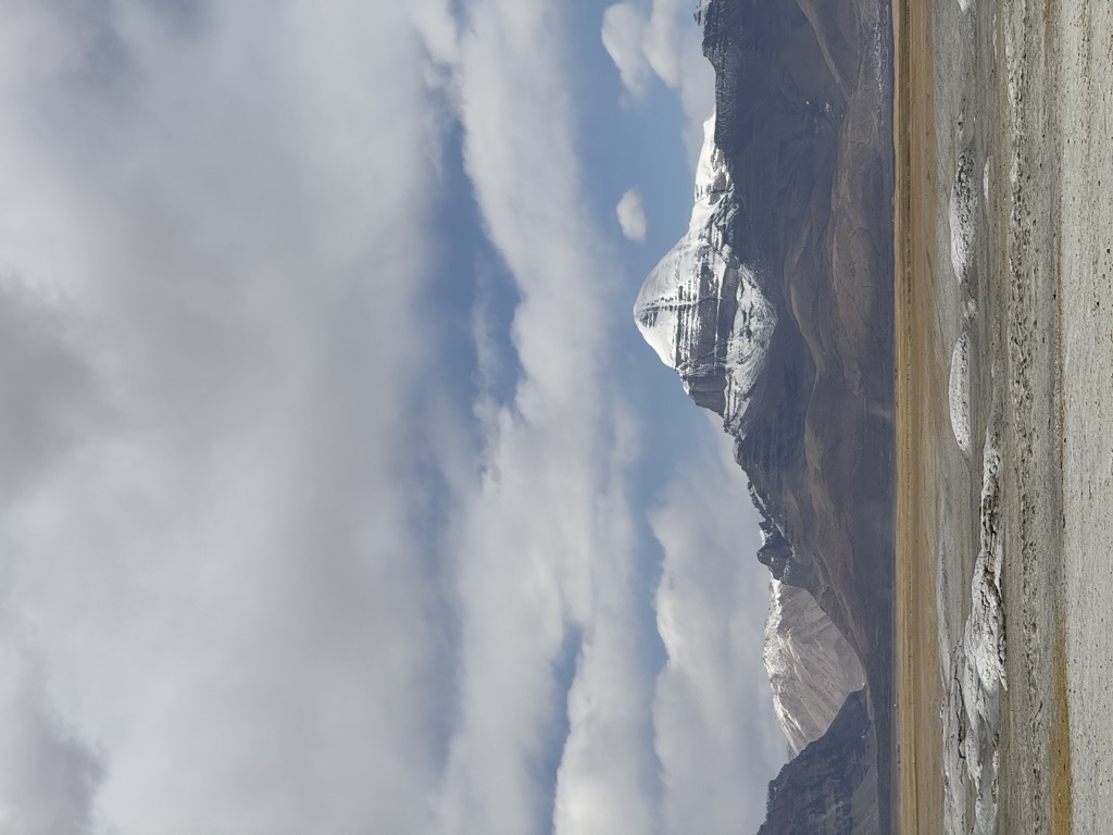
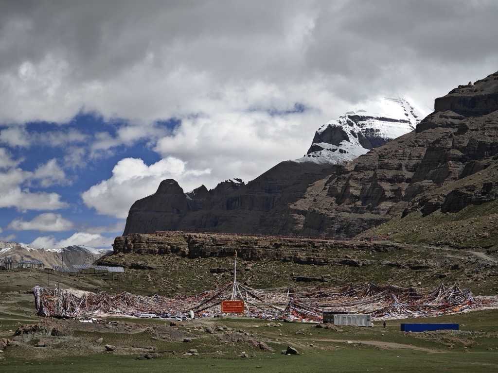
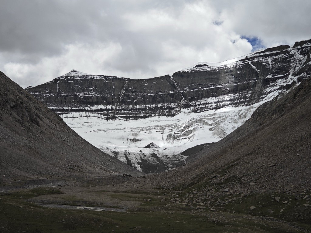
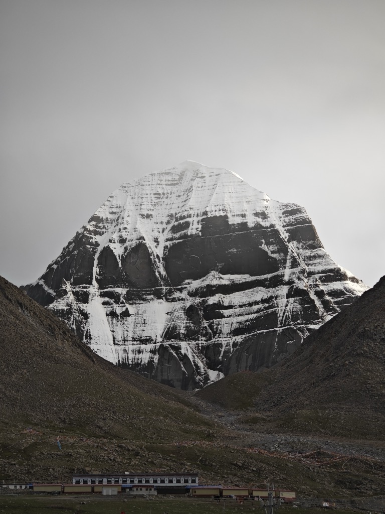
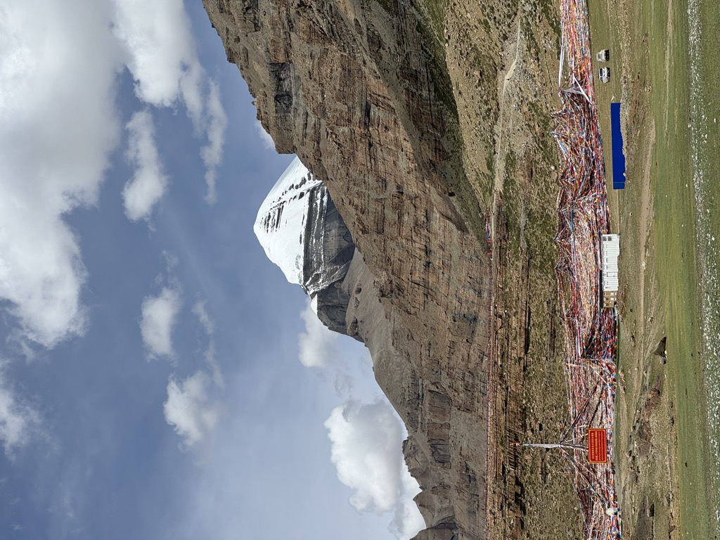
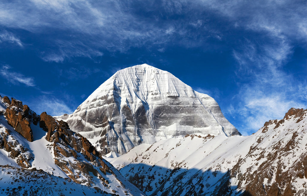
Mount Kailash (also Kailasa; Kangrinboqê or Gang Rinpoche; Standard Tibetan: གངས་རིན་པོ་ཆེ; simplified Chinese: 冈仁波齐峰; traditional Chinese: 岡仁波齊峰; pinyin: Gāngrénbōqí Fēng; Sanskrit: कैलास, IAST: Kailāsa) is a mountain in Ngari Prefecture, Tibet Autonomous Region of China. It lies in the Kailash Range (Gangdisê Mountains) of the Transhimalaya, in the western part of the Tibetan Plateau. The peak of Mount Kailash is located at an elevation of 6,638 m (21,778 ft), near the trijunction between China, India and Nepal.
Mount Kailash is located close to Manasarovar and Rakshastal lakes. The sources of four rivers: Indus, Sutlej, Brahmaputra, and Karnali lie in the vicinity of the region. Mount Kailash is sacred in Hinduism, Buddhism, Jainism and Bon religion. People from India, China, Nepal and other countries in the region undertake a pilgrimage to the mountain. The pilgrimage generally involves trekking towards Lake Mansarovar and a circumambulation of Mount Kailash.
While the mountain has been surveyed by climbers in the past, there have been no recorded successful ascent of the mountain. The climbing of the mountain is prohibited by the Chinese government due to its religious significance.
By elevation Mount Kailash is
# 2 out of 28 in Burang County
By prominence Mount Kailash is
# 51 out of 936 in Tibet # 2 out of 28 in Burang County
We use GPS information embedded into the photo when it is available.
3D mountains overlay
Adjust mountain panorama to perfectly match your photos because recorded by camera photo position might be imprecise.
Move tool
Rotate tool
Zoom
More customization
Choose which peak labels should make into the final photo and what photo title should be.
Next
Photo Location
Satellitte
Flat map
Relief map
Latitude
Longitude
Altitude
OR
Latitude
°'''
Longitude
°'''
Apply
Register Peak
Peak Name
Latitude
Longitude
Altitude
Register
Teleport
PeakVisor
This 3D model of Sagarmatha National Park in Nepal was made using the PeakVisor app topographic data. The mobile app features higher precision models worldwide, more topographic details, and works offline. Download PeakVisor maps today.
Download OBJ model
PeakVisor
The download should start shortly. If you find it useful please consider supporting the PeakVisor app.
PeakVisor for iOS and Android
Be a superhero of outdoor navigation with state-of-the-art 3D maps and mountain identification in the palm of your hand!